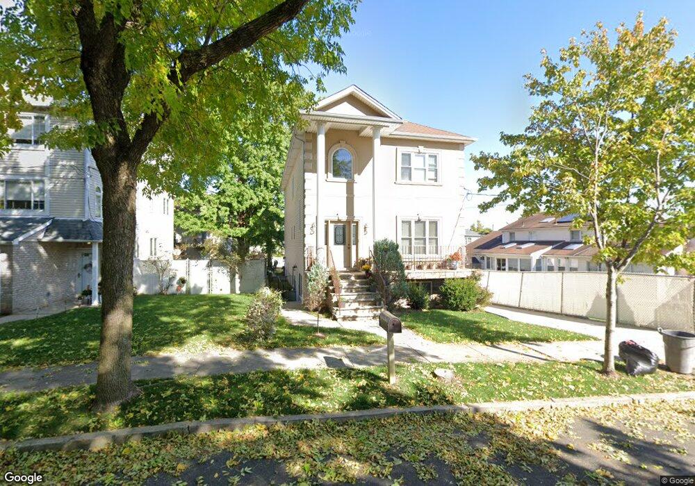
101 Cardiff St Staten Island, NY 10312
Huguenot NeighborhoodEstimated Value: $1,105,000 - $1,406,000
4
Beds
5
Baths
3,300
Sq Ft
$383/Sq Ft
Est. Value
About This Home
This home is located at 101 Cardiff St, Staten Island, NY 10312 and is currently estimated at $1,265,365, approximately $383 per square foot. 101 Cardiff St is a home located in Richmond County with nearby schools including P.S. 4 - Maurice Wollin, I.S. 075 Frank D. Paulo, and Tottenville High School.
Ownership History
Date
Name
Owned For
Owner Type
Purchase Details
Closed on
Oct 8, 2009
Sold by
Vitale Development Group Inc
Bought by
Discenza Peter and Moy Anna
Current Estimated Value
Home Financials for this Owner
Home Financials are based on the most recent Mortgage that was taken out on this home.
Original Mortgage
$533,000
Outstanding Balance
$347,685
Interest Rate
5.06%
Mortgage Type
New Conventional
Estimated Equity
$917,680
Create a Home Valuation Report for This Property
The Home Valuation Report is an in-depth analysis detailing your home's value as well as a comparison with similar homes in the area
Home Values in the Area
Average Home Value in this Area
Purchase History
| Date | Buyer | Sale Price | Title Company |
|---|---|---|---|
| Discenza Peter | $739,758 | None Available |
Source: Public Records
Mortgage History
| Date | Status | Borrower | Loan Amount |
|---|---|---|---|
| Open | Discenza Peter | $533,000 |
Source: Public Records
Tax History Compared to Growth
Tax History
| Year | Tax Paid | Tax Assessment Tax Assessment Total Assessment is a certain percentage of the fair market value that is determined by local assessors to be the total taxable value of land and additions on the property. | Land | Improvement |
|---|---|---|---|---|
| 2025 | $10,013 | $70,200 | $9,665 | $60,535 |
| 2024 | $10,013 | $62,760 | $10,199 | $52,561 |
| 2023 | $10,125 | $49,853 | $10,953 | $38,900 |
| 2022 | $9,486 | $47,520 | $12,840 | $34,680 |
| 2021 | $9,823 | $50,100 | $12,840 | $37,260 |
| 2020 | $9,321 | $55,380 | $12,840 | $42,540 |
| 2019 | $8,691 | $57,360 | $12,840 | $44,520 |
| 2018 | $8,469 | $41,544 | $11,870 | $29,674 |
| 2017 | $8,405 | $41,231 | $10,320 | $30,911 |
| 2016 | $7,776 | $38,898 | $9,957 | $28,941 |
| 2015 | $6,644 | $36,697 | $9,439 | $27,258 |
| 2014 | $6,644 | $34,620 | $10,680 | $23,940 |
Source: Public Records
Map
Nearby Homes
- 123 Cardiff St
- 117 Boulder St
- 97 Cardiff St
- 12 Delmar Ave Unit A
- 177 Russek Dr Unit 1
- 177 Russek Dr Unit 7
- 101 Stack Dr Unit A
- 875 Woodrow Rd
- 225 Rosedale Ave
- 16 Ebey Ln
- 208 Rosedale Ave
- 32 Ebey Ln
- 944 Woodrow Rd
- 135 Russek Dr Unit 43
- 9 Sperry Place
- 33 Ebey Ln
- 42 Everton Ave
- 43 Everton Ave
- 25 Geyser Dr
- 22 Belfield Ave
- 105 Cardiff St
- 107 Cardiff St
- 109 Cardiff St
- 102 Boulder St
- 49 Castor Place
- 111 Cardiff St
- 104 Boulder St
- 106 Boulder St
- 90 Boulder St
- 115 Cardiff St
- 0 Cardiff St
- 108 Boulder St
- 71 Coventry Loop
- 110 Boulder St
- 119 Cardiff St
- 69 Coventry Loop
- 100 Cardiff St
- 96 Cardiff St
- 67 Coventry Loop
- 70 Coventry Loop