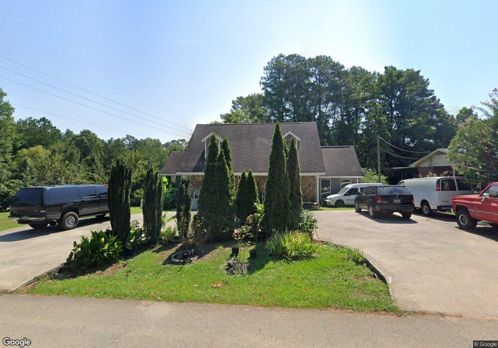
101 Cessna Dr Dalton, GA 30721
Estimated Value: $258,921 - $309,000
4
Beds
3
Baths
1,926
Sq Ft
$150/Sq Ft
Est. Value
About This Home
This home is located at 101 Cessna Dr, Dalton, GA 30721 and is currently estimated at $289,480, approximately $150 per square foot. 101 Cessna Dr is a home located in Whitfield County with nearby schools including Eastside Elementary School, Eastbrook Middle School, and Southeast Whitfield County High School.
Ownership History
Date
Name
Owned For
Owner Type
Purchase Details
Closed on
Nov 28, 2005
Sold by
Kernea Harold Eugene
Bought by
Marquez Ines
Current Estimated Value
Home Financials for this Owner
Home Financials are based on the most recent Mortgage that was taken out on this home.
Original Mortgage
$130,150
Outstanding Balance
$85,829
Interest Rate
9.5%
Mortgage Type
New Conventional
Estimated Equity
$203,651
Create a Home Valuation Report for This Property
The Home Valuation Report is an in-depth analysis detailing your home's value as well as a comparison with similar homes in the area
Home Values in the Area
Average Home Value in this Area
Purchase History
| Date | Buyer | Sale Price | Title Company |
|---|---|---|---|
| Marquez Ines | $137,000 | -- |
Source: Public Records
Mortgage History
| Date | Status | Borrower | Loan Amount |
|---|---|---|---|
| Open | Marquez Ines | $130,150 |
Source: Public Records
Tax History Compared to Growth
Tax History
| Year | Tax Paid | Tax Assessment Tax Assessment Total Assessment is a certain percentage of the fair market value that is determined by local assessors to be the total taxable value of land and additions on the property. | Land | Improvement |
|---|---|---|---|---|
| 2024 | $1,799 | $107,590 | $9,200 | $98,390 |
| 2023 | $1,799 | $67,074 | $9,200 | $57,874 |
| 2022 | $1,460 | $58,042 | $9,200 | $48,842 |
| 2021 | $1,460 | $58,042 | $9,200 | $48,842 |
| 2020 | $1,498 | $58,042 | $9,200 | $48,842 |
| 2019 | $1,517 | $58,042 | $9,200 | $48,842 |
| 2018 | $1,536 | $58,042 | $9,200 | $48,842 |
| 2017 | $1,537 | $58,042 | $9,200 | $48,842 |
| 2016 | $1,267 | $50,657 | $6,090 | $44,567 |
| 2014 | $1,165 | $50,657 | $6,090 | $44,567 |
| 2013 | -- | $50,657 | $6,090 | $44,567 |
Source: Public Records
Map
Nearby Homes
- 118 Hill Rd
- 136 Wiltshire Dr
- 00 Tibbs Bridge Rd
- 143 Staten St
- 359 Pacer Ln Unit 4
- 1629 Roosevelt Dr
- 213 Nashville St
- TBD Old Grade Rd
- 0 Old Grade Rd
- 00 Hill Rd
- 307 Gay St
- 00 Wooten Dr
- 115 Wooten Dr
- 1902 Bartenfield Dr
- 296 Wagner Dr
- 1401 Eastbrook Dr SE
- trac 2 Roosevelt Dr
- trac 3 Roosevelt Dr
- 1412 Stevenson Dr
- 1401 Eastbrook Rd SE
- 103 Cessna Dr
- 104 Cessna Dr
- 0 Airport Rd Unit 1104698
- 0 Airport Rd Unit 1113620
- 00 Airport Rd
- 0 Airport Rd Unit 79061
- 0 Airport Rd Unit 72373
- 0 Airport Rd Unit 75051
- 0 Airport Rd Unit 78716
- 0 Airport Rd Unit 122786
- 0 Airport Rd Unit 92473
- 0 Airport Rd Unit 109612
- 0 Airport Rd Unit 113117
- 0 Airport Rd Unit 113198
- 3001 Airport Rd
- 106 Cessna Dr
- 107 Cessna Dr
- 2908 Airport Rd
- 3002 Airport Rd
- 108 Cessna Dr