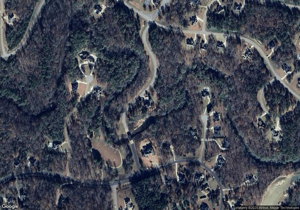
101 Covered Bridge Rd Forsyth, GA 31029
Estimated Value: $770,444 - $912,000
4
Beds
4
Baths
3,835
Sq Ft
$221/Sq Ft
Est. Value
About This Home
This home is located at 101 Covered Bridge Rd, Forsyth, GA 31029 and is currently estimated at $849,111, approximately $221 per square foot. 101 Covered Bridge Rd is a home located in Monroe County with nearby schools including Samuel E. Hubbard Elementary School and Mary Persons High School.
Ownership History
Date
Name
Owned For
Owner Type
Purchase Details
Closed on
Jan 13, 2009
Sold by
Driver Theresa Weeks
Bought by
Driver Wayne D
Current Estimated Value
Purchase Details
Closed on
Nov 20, 2007
Sold by
Not Provided
Bought by
Driver Wayne D
Home Financials for this Owner
Home Financials are based on the most recent Mortgage that was taken out on this home.
Original Mortgage
$639,000
Interest Rate
6.29%
Mortgage Type
New Conventional
Create a Home Valuation Report for This Property
The Home Valuation Report is an in-depth analysis detailing your home's value as well as a comparison with similar homes in the area
Home Values in the Area
Average Home Value in this Area
Purchase History
| Date | Buyer | Sale Price | Title Company |
|---|---|---|---|
| Driver Wayne D | -- | -- | |
| Driver Wayne D | -- | -- | |
| Driver Wayne D | $639,000 | -- |
Source: Public Records
Mortgage History
| Date | Status | Borrower | Loan Amount |
|---|---|---|---|
| Previous Owner | Driver Wayne D | $639,000 |
Source: Public Records
Tax History Compared to Growth
Tax History
| Year | Tax Paid | Tax Assessment Tax Assessment Total Assessment is a certain percentage of the fair market value that is determined by local assessors to be the total taxable value of land and additions on the property. | Land | Improvement |
|---|---|---|---|---|
| 2024 | $7,127 | $285,160 | $31,320 | $253,840 |
| 2023 | $6,839 | $242,840 | $31,320 | $211,520 |
| 2022 | $5,708 | $242,840 | $31,320 | $211,520 |
| 2021 | $6,547 | $233,600 | $22,080 | $211,520 |
| 2020 | $5,909 | $205,640 | $19,600 | $186,040 |
| 2019 | $5,669 | $195,760 | $14,720 | $181,040 |
| 2018 | $5,686 | $195,760 | $14,720 | $181,040 |
| 2017 | $5,676 | $195,280 | $14,240 | $181,040 |
| 2016 | $5,396 | $195,280 | $14,240 | $181,040 |
| 2015 | $5,116 | $195,280 | $14,240 | $181,040 |
| 2014 | $4,935 | $195,280 | $14,240 | $181,040 |
Source: Public Records
Map
Nearby Homes
- 104 Chase Ln
- 100 Ridge Way
- 415 Forest Pointe Dr
- 512 River Forest Dr
- 114 Tee Dr
- 508 River Forest Dr
- 507 River Overlook
- 2760 Boxankle Rd
- 205 Chastain Dr
- 200 Crescent Dr
- 104 Piedmont Cir
- 2754 Boxankle Rd
- 115 Forest Overlook Dr
- 518 River Overlook
- 111 Piedmont Cir
- 130 Heights Ave
- 120 Heights Ave
- 601 River Overlook
- 106 Forest Place
- 217 Crescent Dr
- 103 Covered Bridge Rd Unit J-4
- 202 River Overlook Unit A 30
- 204 River Overlook
- 104 Chase Ln Unit A 27
- 102 Chase Ln
- 103 Ridge Way
- 103 Ridge Way Unit A 34
- 105 Ridge Way
- 105 Ridgeway
- 105 Ridge Way Unit 35A
- 105 Ridge Way Unit A35
- 200 River Overlook Unit A29
- 200 River Overlook
- 106 Chase Ln
- 160 Chase Ln
- 311 Forest Pointe Dr
- 105 Chase Ln
- 401 Forest Pointe Dr Unit J - 6
- 103 Chase Ln
- 110 Ridgeway
