101 Crest View Dr Horseshoe Bend, ID 83629
Estimated Value: $699,000 - $1,050,000
4
Beds
3
Baths
540
Sq Ft
$1,495/Sq Ft
Est. Value
About This Home
This home is located at 101 Crest View Dr, Horseshoe Bend, ID 83629 and is currently estimated at $807,242, approximately $1,494 per square foot. 101 Crest View Dr is a home located in Boise County with nearby schools including Horseshoe Bend Elementary School and Horseshoe Bend Middle/Senior High School.
Ownership History
Date
Name
Owned For
Owner Type
Purchase Details
Closed on
Mar 25, 2019
Sold by
Lossmann Scott D
Bought by
Anthony David W and Anthony Stacie R
Current Estimated Value
Home Financials for this Owner
Home Financials are based on the most recent Mortgage that was taken out on this home.
Original Mortgage
$310,400
Outstanding Balance
$270,086
Interest Rate
4.3%
Mortgage Type
New Conventional
Estimated Equity
$537,156
Purchase Details
Closed on
Apr 1, 2013
Sold by
Lossmann Wayne H
Bought by
Lossmann Scott D and Wayne H Lossmann Family Trust
Purchase Details
Closed on
Nov 23, 2007
Sold by
Loomis Steven J and Holland Susan T
Bought by
Lossmann Wayne H
Home Financials for this Owner
Home Financials are based on the most recent Mortgage that was taken out on this home.
Original Mortgage
$287,000
Interest Rate
6.3%
Mortgage Type
New Conventional
Create a Home Valuation Report for This Property
The Home Valuation Report is an in-depth analysis detailing your home's value as well as a comparison with similar homes in the area
Purchase History
| Date | Buyer | Sale Price | Title Company |
|---|---|---|---|
| Anthony David W | -- | Stewart Title Emerald Office | |
| Lossmann Scott D | -- | None Available | |
| Lossmann Wayne H | -- | -- |
Source: Public Records
Mortgage History
| Date | Status | Borrower | Loan Amount |
|---|---|---|---|
| Open | Anthony David W | $310,400 | |
| Previous Owner | Lossmann Wayne H | $287,000 |
Source: Public Records
Tax History
| Year | Tax Paid | Tax Assessment Tax Assessment Total Assessment is a certain percentage of the fair market value that is determined by local assessors to be the total taxable value of land and additions on the property. | Land | Improvement |
|---|---|---|---|---|
| 2025 | $1,616 | $665,612 | $178,000 | $487,612 |
| 2024 | $1,616 | $726,337 | $175,000 | $551,337 |
| 2023 | $1,789 | $612,337 | $186,000 | $426,337 |
| 2022 | $2,251 | $614,374 | $182,000 | $432,374 |
| 2021 | $2,099 | $361,650 | $117,000 | $244,650 |
| 2020 | $2,172 | $466,650 | $97,000 | $369,650 |
| 2019 | $1,950 | $259,183 | $90,000 | $169,183 |
| 2018 | $1,776 | $302,831 | $79,708 | $223,123 |
| 2017 | $1,726 | $164,704 | $72,708 | $91,996 |
| 2016 | $1,950 | $173,876 | $72,708 | $101,168 |
| 2015 | $2,196 | $263,193 | $67,280 | $195,913 |
| 2014 | $2,208 | $265,299 | $67,280 | $198,019 |
| 2013 | -- | $214,539 | $60,200 | $154,339 |
| 2012 | -- | $232,693 | $60,200 | $172,493 |
Source: Public Records
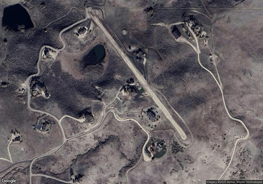
Map
Nearby Homes
- TBD Breadloaf Rd
- 3 Bread Loaf Rd
- 170 Summit Ridge Rd
- TBD Webster Ln - A
- 2 Brook Ln
- 6725 S Kirsten Way
- 6725 S Kirsten Way Unit 929
- 6721 S Kirsten Way Unit 927
- 6617 N Good Dr
- 7372 Powell Place
- 6627 N Good Dr
- 6624 N Good Dr
- 6620 N Good Dr
- 11033 E Howell Rd
- 6534 E Lucy Dr
- 6531 E Ritcher
- 6530 E Lucy Dr
- 6529 E Richter Dr
- 6527 E Richter Dr
- Augusta Plan at Avimor
Your Personal Tour Guide
Ask me questions while you tour the home.