101 Crown Point Rd Unit 101 Parsippany, NJ 07054
Estimated Value: $687,172 - $753,000
--
Bed
--
Bath
2,108
Sq Ft
$338/Sq Ft
Est. Value
About This Home
This home is located at 101 Crown Point Rd Unit 101, Parsippany, NJ 07054 and is currently estimated at $713,043, approximately $338 per square foot. 101 Crown Point Rd Unit 101 is a home located in Morris County with nearby schools including Lake Hiawatha Elementary School, Central Middle School, and Parsippany High School.
Ownership History
Date
Name
Owned For
Owner Type
Purchase Details
Closed on
Mar 9, 2012
Sold by
Ollenschleger William and Ollenschleger Janet
Bought by
Ollenschleger William and Ollenschleger Janet
Current Estimated Value
Purchase Details
Closed on
Apr 13, 1999
Sold by
Beverwyck Pointe Associates Llc
Bought by
Ollenschleger William and Ollenschleger Janet
Home Financials for this Owner
Home Financials are based on the most recent Mortgage that was taken out on this home.
Original Mortgage
$85,000
Interest Rate
7.04%
Create a Home Valuation Report for This Property
The Home Valuation Report is an in-depth analysis detailing your home's value as well as a comparison with similar homes in the area
Home Values in the Area
Average Home Value in this Area
Purchase History
| Date | Buyer | Sale Price | Title Company |
|---|---|---|---|
| Ollenschleger William | -- | None Available | |
| Ollenschleger William | $243,900 | -- |
Source: Public Records
Mortgage History
| Date | Status | Borrower | Loan Amount |
|---|---|---|---|
| Closed | Ollenschleger William | $85,000 |
Source: Public Records
Tax History Compared to Growth
Tax History
| Year | Tax Paid | Tax Assessment Tax Assessment Total Assessment is a certain percentage of the fair market value that is determined by local assessors to be the total taxable value of land and additions on the property. | Land | Improvement |
|---|---|---|---|---|
| 2025 | $12,553 | $356,000 | $175,000 | $181,000 |
| 2024 | $12,318 | $356,000 | $175,000 | $181,000 |
| 2023 | $12,318 | $356,000 | $175,000 | $181,000 |
| 2022 | $10,748 | $356,000 | $175,000 | $181,000 |
| 2021 | $10,748 | $356,000 | $175,000 | $181,000 |
| 2020 | $11,246 | $356,000 | $175,000 | $181,000 |
| 2019 | $10,933 | $356,000 | $175,000 | $181,000 |
| 2018 | $10,691 | $356,000 | $175,000 | $181,000 |
| 2017 | $10,438 | $356,000 | $175,000 | $181,000 |
| 2016 | $10,249 | $356,000 | $175,000 | $181,000 |
| 2015 | $9,989 | $356,000 | $175,000 | $181,000 |
| 2014 | $9,851 | $356,000 | $175,000 | $181,000 |
Source: Public Records
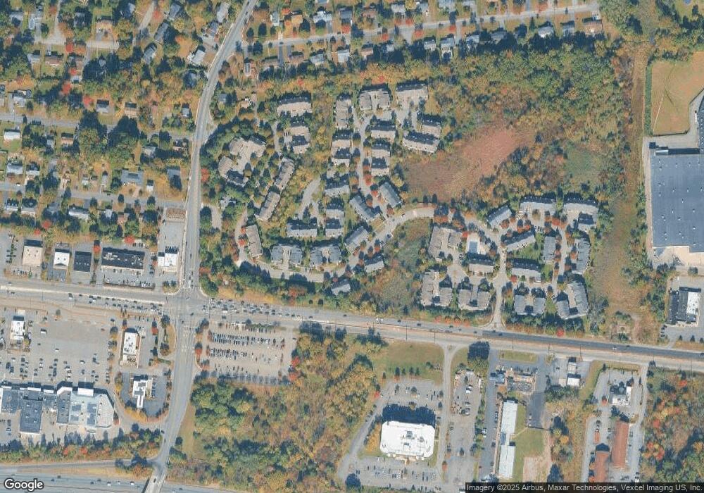
Map
Nearby Homes
- 123 Cardigan Ct Unit 123
- 159 Ball Ave
- 188 Edwards Rd
- 3 Woodhaven Rd
- 2 Colony Ct
- 18 Woodhaven Rd
- 53 Ute Ave
- 21 Nokomis Ave
- 20 Sandra Dr
- 12 Cherokee Ave
- 1 Vail Rd
- 122 Lake Shore Dr
- 209 Raymound Blvd
- 20 Druid Hill Dr
- 30 Madison Ave
- 17 Madison Ave
- 61 Minnehaha Blvd
- 8 New England Dr
- 255 Knoll Rd
- 31.5 Roosevelt Ave
- 102 Crown Point Rd
- 103 Crown Point Rd Unit 103
- 104 Crown Point Rd
- 99 Crown Point Rd
- 117 Cardigan Ct Unit 117
- 98 Crown Point Rd
- 100 Crown Point Rd Unit 100
- 118 Cardigan Ct Unit 118
- 119 Cardigan Ct Unit 119
- 85 Crown Point Rd Unit 85
- 116 Cardigan Ct
- 84 Crown Point Rd Unit 84
- 97 Crown Point Rd Unit 97
- 106 Gladstone Dr
- 83 Crown Point Rd Unit 83
- 105 Gladstone Dr Unit 105
- 107 Gladstone Dr
- 96 Crown Point Rd
- 95 Crown Point Rd
- 120 Cardigan Ct Unit 120