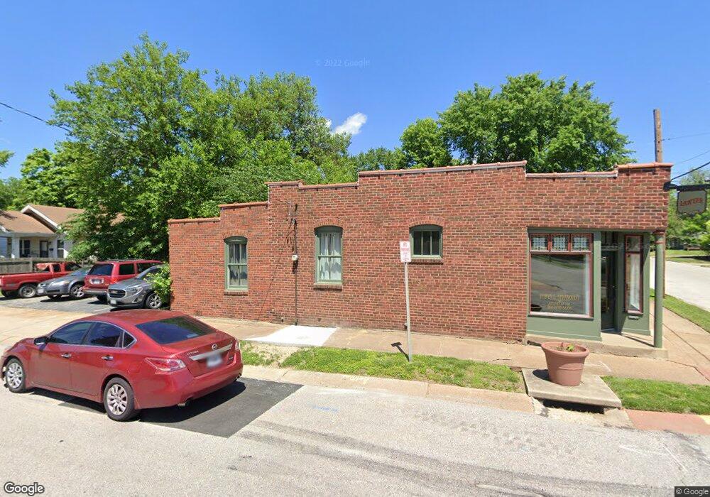
101 Darst Rd Saint Louis, MO 63135
Estimated Value: $84,349
Studio
--
Bath
849
Sq Ft
$99/Sq Ft
Est. Value
About This Home
This home is located at 101 Darst Rd, Saint Louis, MO 63135 and is currently estimated at $84,349, approximately $99 per square foot. 101 Darst Rd is a home located in St. Louis County with nearby schools including Vogt Elementary School, Ferguson Middle School, and McCluer High School.
Ownership History
Date
Name
Owned For
Owner Type
Purchase Details
Closed on
Mar 25, 2022
Sold by
Sharp Terry A
Bought by
Stanouist Robyn L
Current Estimated Value
Purchase Details
Closed on
Oct 31, 2012
Sold by
Schuette Lois J
Bought by
Stranquist Robyn L
Purchase Details
Closed on
Aug 17, 2006
Sold by
Staack Stephen G
Bought by
Staack Stephen G
Purchase Details
Closed on
Oct 15, 2004
Sold by
Gajo Frank D
Bought by
Sharp Terry A and Stranquist Robyn L
Home Financials for this Owner
Home Financials are based on the most recent Mortgage that was taken out on this home.
Original Mortgage
$34,000
Interest Rate
5.74%
Mortgage Type
Purchase Money Mortgage
Create a Home Valuation Report for This Property
The Home Valuation Report is an in-depth analysis detailing your home's value as well as a comparison with similar homes in the area
Home Values in the Area
Average Home Value in this Area
Purchase History
| Date | Buyer | Sale Price | Title Company |
|---|---|---|---|
| Stanouist Robyn L | -- | None Listed On Document | |
| Stranquist Robyn L | -- | None Available | |
| Staack Stephen G | -- | None Available | |
| Sharp Terry A | $45,000 | -- |
Source: Public Records
Mortgage History
| Date | Status | Borrower | Loan Amount |
|---|---|---|---|
| Previous Owner | Sharp Terry A | $34,000 |
Source: Public Records
Tax History
| Year | Tax Paid | Tax Assessment Tax Assessment Total Assessment is a certain percentage of the fair market value that is determined by local assessors to be the total taxable value of land and additions on the property. | Land | Improvement |
|---|---|---|---|---|
| 2025 | $2,258 | $21,760 | $4,860 | $16,900 |
| 2024 | $2,258 | $21,370 | $4,860 | $16,510 |
| 2023 | $2,225 | $21,370 | $4,860 | $16,510 |
| 2022 | $2,284 | $20,860 | $4,860 | $16,000 |
| 2021 | $2,227 | $20,860 | $4,860 | $16,000 |
| 2020 | $2,236 | $20,280 | $4,860 | $15,420 |
| 2019 | $2,179 | $20,280 | $4,860 | $15,420 |
| 2018 | $1,723 | $15,260 | $4,860 | $10,400 |
| 2017 | $1,691 | $15,260 | $4,860 | $10,400 |
| 2016 | $1,725 | $15,300 | $14,560 | $740 |
Source: Public Records
Map
Nearby Homes
- 26 N Maple Ave
- 11 Miller Place
- 215 Carson Rd
- 127 Thoroughman Ave
- 426 Darst Rd
- 45 Beacon Ave
- 509 Royal Ave
- 422 Adams St
- 415 Wesley Ave
- 115 Lawrence Ave
- 411 Warford Ave
- 35 Robert Ave
- 212 Millman Dr
- 138 N Marguerite Ave
- 439 Warford Ave
- 410 Robert Ave
- 310 N Marguerite Ave
- 405 Estelle Ave
- 308 Superior Dr
- 700 N Elizabeth Ave
- 105 Darst Rd
- 110 Cunningham Ave
- 112 Cunningham Ave
- 123 Darst Rd
- 115 Cunningham Ave
- 118 Cunningham Ave
- 120 Cunningham Ave
- 117 Adelle Ave
- 44 N Florissant Rd
- 122 Cunningham Ave
- 123 Adelle Ave
- 40 N Florissant Rd
- 126 Cunningham Ave
- 140 Darst Rd
- 114 Darst Rd
- 129 Adelle Ave
- 45 Almeda Place
- 132 Cunningham Ave
- 201 Darst Rd
- 118 N Florissant Rd
Your Personal Tour Guide
Ask me questions while you tour the home.