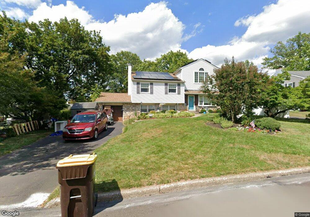
101 Devon Rd Chalfont, PA 18914
Estimated Value: $560,206 - $598,000
4
Beds
2
Baths
2,400
Sq Ft
$241/Sq Ft
Est. Value
About This Home
This home is located at 101 Devon Rd, Chalfont, PA 18914 and is currently estimated at $579,552, approximately $241 per square foot. 101 Devon Rd is a home located in Bucks County with nearby schools including Simon Butler Elementary, Unami Middle School, and Central Bucks High School - South.
Ownership History
Date
Name
Owned For
Owner Type
Purchase Details
Closed on
Sep 3, 2020
Sold by
Loftis Ronald S
Bought by
Loftis Ronald S and Gellert Donna B
Current Estimated Value
Purchase Details
Closed on
Sep 16, 2005
Sold by
Loftis Jane
Bought by
Loftis Jane and Loftis Ronald S
Home Financials for this Owner
Home Financials are based on the most recent Mortgage that was taken out on this home.
Original Mortgage
$157,000
Interest Rate
6.07%
Mortgage Type
New Conventional
Purchase Details
Closed on
Sep 8, 2004
Sold by
Loftis Mildred J and Loftis Jane
Bought by
Loftis Jane
Create a Home Valuation Report for This Property
The Home Valuation Report is an in-depth analysis detailing your home's value as well as a comparison with similar homes in the area
Home Values in the Area
Average Home Value in this Area
Purchase History
| Date | Buyer | Sale Price | Title Company |
|---|---|---|---|
| Loftis Ronald S | -- | None Available | |
| Loftis Jane | -- | None Available | |
| Loftis Jane | -- | -- |
Source: Public Records
Mortgage History
| Date | Status | Borrower | Loan Amount |
|---|---|---|---|
| Closed | Loftis Jane | $157,000 |
Source: Public Records
Tax History
| Year | Tax Paid | Tax Assessment Tax Assessment Total Assessment is a certain percentage of the fair market value that is determined by local assessors to be the total taxable value of land and additions on the property. | Land | Improvement |
|---|---|---|---|---|
| 2025 | $5,192 | $29,960 | $5,520 | $24,440 |
| 2024 | $5,192 | $29,960 | $5,520 | $24,440 |
| 2023 | $5,027 | $29,960 | $5,520 | $24,440 |
| 2022 | $4,928 | $29,960 | $5,520 | $24,440 |
| 2021 | $4,872 | $29,960 | $5,520 | $24,440 |
| 2020 | $4,872 | $29,960 | $5,520 | $24,440 |
| 2019 | $4,812 | $29,960 | $5,520 | $24,440 |
| 2018 | $4,812 | $29,960 | $5,520 | $24,440 |
| 2017 | $4,775 | $29,960 | $5,520 | $24,440 |
| 2016 | $4,775 | $29,960 | $5,520 | $24,440 |
| 2015 | -- | $29,960 | $5,520 | $24,440 |
| 2014 | -- | $29,960 | $5,520 | $24,440 |
Source: Public Records
Map
Nearby Homes
- 100 New Jersey Ave
- 220 Hampshire Dr
- 163 Pennsylvania Ave
- 128 Krista Ct
- 50 Hickory Ln
- 0 S Limekiln Pike
- 106 Remington Ct
- 244 Holly Dr
- 150 Galway Cir
- 40 E Butler Ave
- 406 Dornishwood Place
- 152 N Main St Unit 154
- 201 Coventry Rd
- 410 Dornishwood Place
- 144 Brianna Ct Unit 30
- 128 Brianna Ct
- 124 Brianna Ct Unit 35
- 124 Brianna Ct
- 113 Glennbrook Ct
- 122 Brianna Ct
- 103 Devon Rd
- 104 Brittany Dr
- 102 Brittany Dr
- 102 Hampshire Dr
- 105 Devon Rd
- 104 Hampshire Dr
- 100 Hampshire Dr
- 100 Devon Rd
- 106 Brittany Dr
- 106 Hampshire Dr
- 102 Devon Rd
- 107 Devon Rd
- 109 Brittany Dr
- 108 Brittany Dr
- 107 Brittany Dr
- 108 Hampshire Dr
- 111 Brittany Dr
- 105 Brittany Dr
- 104 Devon Rd
- 101 Hampshire Dr
Your Personal Tour Guide
Ask me questions while you tour the home.