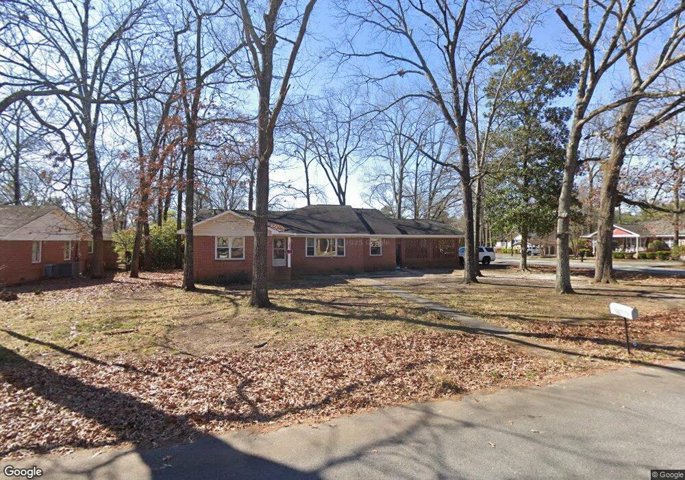
101 Dewey St Warner Robins, GA 31093
Estimated Value: $161,000 - $209,000
Studio
2
Baths
2,431
Sq Ft
$75/Sq Ft
Est. Value
About This Home
This home is located at 101 Dewey St, Warner Robins, GA 31093 and is currently estimated at $182,543, approximately $75 per square foot. 101 Dewey St is a home located in Houston County with nearby schools including Westside Elementary School, Northside Middle School, and Northside High School.
Ownership History
Date
Name
Owned For
Owner Type
Purchase Details
Closed on
Jul 9, 2013
Sold by
Hodges Vernard L
Bought by
Trojan Farms & Real Estate Llc
Current Estimated Value
Home Financials for this Owner
Home Financials are based on the most recent Mortgage that was taken out on this home.
Original Mortgage
$301,018
Interest Rate
4%
Mortgage Type
New Conventional
Purchase Details
Closed on
Feb 7, 2005
Sold by
Wachovia Bank National Association
Bought by
Hodges Vernard L
Home Financials for this Owner
Home Financials are based on the most recent Mortgage that was taken out on this home.
Original Mortgage
$60,000
Interest Rate
5.61%
Mortgage Type
Purchase Money Mortgage
Purchase Details
Closed on
Sep 7, 2004
Sold by
Burke Thurman R
Bought by
Wachovia Bank
Purchase Details
Closed on
Jul 22, 1983
Bought by
Burke Thurman R
Purchase Details
Closed on
Apr 23, 1955
Bought by
Burke Thurman R
Create a Home Valuation Report for This Property
The Home Valuation Report is an in-depth analysis detailing your home's value as well as a comparison with similar homes in the area
Home Values in the Area
Average Home Value in this Area
Purchase History
| Date | Buyer | Sale Price | Title Company |
|---|---|---|---|
| Trojan Farms & Real Estate Llc | -- | -- | |
| Hodges Vernard L | $58,000 | None Available | |
| Wachovia Bank | $79,600 | -- | |
| Burke Thurman R | -- | -- | |
| Burke Thurman R | -- | -- |
Source: Public Records
Mortgage History
| Date | Status | Borrower | Loan Amount |
|---|---|---|---|
| Closed | Trojan Farms & Real Estate Llc | $301,018 | |
| Previous Owner | Hodges Vernard L | $60,000 |
Source: Public Records
Tax History
| Year | Tax Paid | Tax Assessment Tax Assessment Total Assessment is a certain percentage of the fair market value that is determined by local assessors to be the total taxable value of land and additions on the property. | Land | Improvement |
|---|---|---|---|---|
| 2025 | $1,423 | $48,880 | $5,400 | $43,480 |
| 2024 | $1,598 | $48,840 | $4,320 | $44,520 |
| 2023 | $1,345 | $40,800 | $4,440 | $36,360 |
| 2022 | $871 | $37,880 | $4,440 | $33,440 |
| 2021 | $777 | $33,600 | $4,440 | $29,160 |
| 2020 | $787 | $33,880 | $4,440 | $29,440 |
| 2019 | $787 | $33,880 | $4,440 | $29,440 |
| 2018 | $787 | $33,880 | $4,440 | $29,440 |
| 2017 | $788 | $33,880 | $4,440 | $29,440 |
| 2016 | $789 | $33,880 | $4,440 | $29,440 |
| 2015 | -- | $33,880 | $4,440 | $29,440 |
| 2014 | -- | $33,880 | $4,440 | $29,440 |
| 2013 | -- | $33,880 | $4,440 | $29,440 |
Source: Public Records
Map
Nearby Homes
- 113 Pearce Dr
- 122 Jay Dr
- 120 Dewey St
- 1730 Green St
- 2009 Green St
- 99 Green St Unit 101 Green Street
- 309 N Pleasant Hill Rd
- 213 Oklahoma Ave
- 423 Alabama Ave
- 422 Carolina Ave
- 402 & 404 Green St
- 427 Alabama Ave
- 110 Briardale Ave
- 220 Wendan Way
- 94 Ravenwood Way
- 212 Arnold Blvd
- 119 Woodlawn Ave
- 118 Briardale Ave
- 133 Briardale Ave
- 500 Northside Dr
Your Personal Tour Guide
Ask me questions while you tour the home.