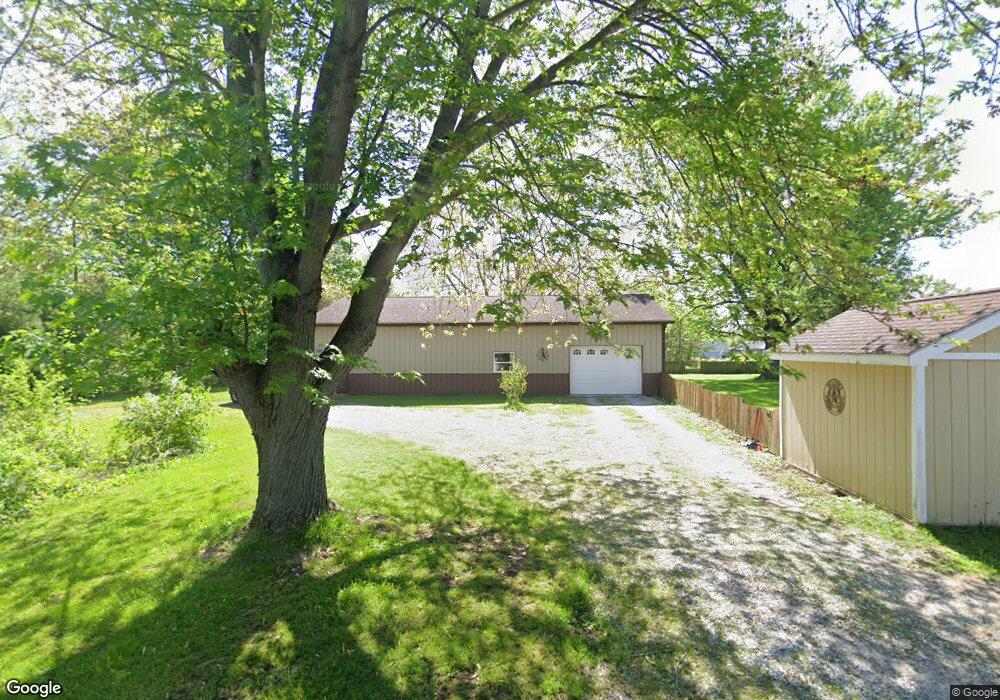
101 E 5th St Matthews, IN 46957
Estimated Value: $136,000 - $174,772
3
Beds
2
Baths
1,890
Sq Ft
$81/Sq Ft
Est. Value
About This Home
This home is located at 101 E 5th St, Matthews, IN 46957 and is currently estimated at $153,443, approximately $81 per square foot. 101 E 5th St is a home.
Ownership History
Date
Name
Owned For
Owner Type
Purchase Details
Closed on
Jul 26, 2013
Sold by
Armstrong Douglas A
Bought by
Armstrong Douglas A and Armstrong Tommie L
Current Estimated Value
Home Financials for this Owner
Home Financials are based on the most recent Mortgage that was taken out on this home.
Original Mortgage
$8,000
Interest Rate
4.25%
Mortgage Type
Purchase Money Mortgage
Create a Home Valuation Report for This Property
The Home Valuation Report is an in-depth analysis detailing your home's value as well as a comparison with similar homes in the area
Purchase History
| Date | Buyer | Sale Price | Title Company |
|---|---|---|---|
| Armstrong Douglas A | -- | None Available |
Source: Public Records
Mortgage History
| Date | Status | Borrower | Loan Amount |
|---|---|---|---|
| Closed | Armstrong Douglas A | $8,000 |
Source: Public Records
Tax History
| Year | Tax Paid | Tax Assessment Tax Assessment Total Assessment is a certain percentage of the fair market value that is determined by local assessors to be the total taxable value of land and additions on the property. | Land | Improvement |
|---|---|---|---|---|
| 2025 | $884 | $140,900 | $23,300 | $117,600 |
| 2024 | $884 | $121,800 | $23,300 | $98,500 |
| 2023 | $801 | $118,500 | $23,300 | $95,200 |
| 2022 | $678 | $99,700 | $18,200 | $81,500 |
| 2021 | $564 | $89,100 | $18,200 | $70,900 |
| 2020 | $470 | $85,000 | $17,400 | $67,600 |
| 2019 | $370 | $78,400 | $17,400 | $61,000 |
| 2018 | $315 | $76,800 | $18,800 | $58,000 |
| 2017 | $307 | $78,200 | $18,800 | $59,400 |
| 2016 | $297 | $78,400 | $18,800 | $59,600 |
| 2014 | $469 | $76,900 | $19,800 | $57,100 |
| 2013 | $469 | $77,200 | $19,800 | $57,400 |
Source: Public Records
Map
Nearby Homes
- 116 W 8th St
- 202 E Main St
- 11757 E 1000 S
- 7960 S 950 E
- 200 N Mohee Dr
- 5711 W County Road 1070 N Lots#10 11 12 Unit 10, 11, and 12
- 1 Meridian Dr
- 9 Lakeview Ct
- 9635 S 525 E
- 2300 S 8th St
- 0 W 300 S Unit LotWP001
- 0 W 300 S
- 221 W Paulette Ave
- 200 E Mckinley St
- 2070 W 200 S
- 104 E Jackson St
- 1016 S First St
- 715 Silverman Blvd
- 776 W Harsax Dr
- 3798 S 100 W
- 103 E 5th St
- 105 E 5th St
- 107 E 5th St
- 110 E 5th St
- 506 S Massachusetts Ave
- 402 S Massachusetts Ave
- 402 S Massachusetts Ave Unit Matthews
- 522 S Massachusetts Ave
- 516 S Massachusetts Ave
- 109 E 6th St
- 105 E 6th St
- 505 S Massachusetts Ave
- 118 E 5th St
- 117 E 5th St
- 113 E 6th St
- 519 S Massachusetts Ave
- 117 E 6th St
- 106 E 6th St
- 201 E 6th St
- 116 E 6th St
Your Personal Tour Guide
Ask me questions while you tour the home.