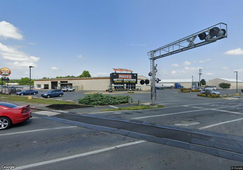
101 E Cedar Ln Fruitland, MD 21826
Estimated Value: $5,021,943
--
Bed
--
Bath
36,688
Sq Ft
$137/Sq Ft
Est. Value
About This Home
This home is located at 101 E Cedar Ln, Fruitland, MD 21826 and is currently estimated at $5,021,943, approximately $136 per square foot. 101 E Cedar Ln is a home located in Wicomico County with nearby schools including Fruitland Primary School, Fruitland Intermediate School, and Bennett Middle School.
Ownership History
Date
Name
Owned For
Owner Type
Purchase Details
Closed on
Nov 4, 2011
Sold by
84 Indemnity Company
Bought by
D Brown Land Investments Llc
Current Estimated Value
Purchase Details
Closed on
Oct 28, 2009
Sold by
Pierce Hardy Ltd Partnership
Bought by
84 Indemnity Company
Purchase Details
Closed on
Sep 21, 2001
Sold by
E S Adkins Llc
Bought by
Pierce Hardy Ltd Partnership
Purchase Details
Closed on
Jun 14, 2001
Sold by
Masten Realty Inc
Bought by
E S Adkins & Company
Create a Home Valuation Report for This Property
The Home Valuation Report is an in-depth analysis detailing your home's value as well as a comparison with similar homes in the area
Home Values in the Area
Average Home Value in this Area
Purchase History
| Date | Buyer | Sale Price | Title Company |
|---|---|---|---|
| D Brown Land Investments Llc | $2,500,000 | Delmarva Title | |
| 84 Indemnity Company | -- | -- | |
| Pierce Hardy Ltd Partnership | $1,375,000 | -- | |
| E S Adkins Llc | $1,025,000 | -- | |
| E S Adkins & Company | $1,025,000 | -- |
Source: Public Records
Tax History Compared to Growth
Tax History
| Year | Tax Paid | Tax Assessment Tax Assessment Total Assessment is a certain percentage of the fair market value that is determined by local assessors to be the total taxable value of land and additions on the property. | Land | Improvement |
|---|---|---|---|---|
| 2025 | $23,971 | $2,504,533 | $0 | $0 |
| 2024 | $23,971 | $2,500,100 | $1,366,700 | $1,133,400 |
| 2023 | $24,540 | $2,482,167 | $0 | $0 |
| 2022 | $25,111 | $2,464,233 | $0 | $0 |
| 2021 | $24,044 | $2,446,300 | $1,366,700 | $1,079,600 |
| 2020 | $24,044 | $2,331,367 | $0 | $0 |
| 2019 | $23,197 | $2,216,433 | $0 | $0 |
| 2018 | $22,104 | $2,101,500 | $1,366,700 | $734,800 |
| 2017 | $21,896 | $2,081,733 | $0 | $0 |
| 2016 | $12,240 | $2,061,967 | $0 | $0 |
| 2015 | $12,240 | $2,042,200 | $0 | $0 |
| 2014 | $12,240 | $1,828,667 | $0 | $0 |
Source: Public Records
Map
Nearby Homes
- 224 Canal Park Dr Unit 101
- 222 N Dulany Ave
- 228 Canal Park Dr Unit G7
- 228 Canal Park Dr Unit G106
- 228 Canal Park Dr Unit G208
- 401 Cobblers Green
- 207 & 209 N Dulany Ave
- 214 N Dulany Ave
- 202 Hunter's Way
- 225 Canal Park Dr Unit 15
- 231 Canal Park Dr Unit A200
- 105 Russell Ave
- 210 Hunter's Way
- 404 Sheldon Ave
- 1703 Carver Square
- 209 W Main St
- 103 W Main St
- 1702 Old Mill Ln
- 110 Moore Ave
- 415 Creekside Trail
- 104 E Cedar Ln Unit 100
- 100 E Cedar Ln
- 107 E Cedar Ln
- 403 N Fruitland Blvd
- 403 N Fruitland Blvd
- 100 W Cedar Ln
- 102 W Cedar Ln
- 306 Prosperity Ln
- 108 E Cedar Ln
- 409 N Fruitland Blvd
- 104 W Cedar Ln Unit 400
- 104 W Cedar Ln Unit S
- 104 W Cedar Ln Unit 300
- 104 W Cedar Ln
- 304 Prosperity Ln
- 0 Prosperity Unit WC6951198
- 0 Prosperity Unit 1001679126
- 300 N Fruitland Blvd
- 305 Prosperity Ln
- 407 N Fruitland Blvd