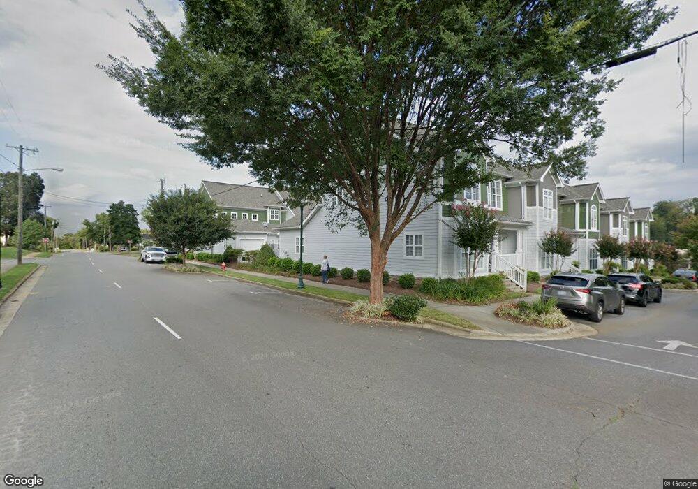
101 E Commons Dr Morganton, NC 28655
Estimated Value: $209,000 - $442,000
3
Beds
4
Baths
1,831
Sq Ft
$174/Sq Ft
Est. Value
About This Home
This home is located at 101 E Commons Dr, Morganton, NC 28655 and is currently estimated at $317,810, approximately $173 per square foot. 101 E Commons Dr is a home located in Burke County with nearby schools including Hillcrest Elementary School, Walter R. Johnson Middle School, and Robert L. Patton High School.
Ownership History
Date
Name
Owned For
Owner Type
Purchase Details
Closed on
Nov 29, 2018
Sold by
Bonfield Kenneth R
Bought by
Masg Properties Llc
Current Estimated Value
Purchase Details
Closed on
Aug 4, 2006
Sold by
The Downtown Grooup Ii Llc
Bought by
Roberts Robetrt and Roberts Norma W
Home Financials for this Owner
Home Financials are based on the most recent Mortgage that was taken out on this home.
Original Mortgage
$142,900
Interest Rate
6.68%
Mortgage Type
New Conventional
Create a Home Valuation Report for This Property
The Home Valuation Report is an in-depth analysis detailing your home's value as well as a comparison with similar homes in the area
Home Values in the Area
Average Home Value in this Area
Purchase History
| Date | Buyer | Sale Price | Title Company |
|---|---|---|---|
| Masg Properties Llc | -- | None Available | |
| Roberts Robetrt | $243,000 | None Available |
Source: Public Records
Mortgage History
| Date | Status | Borrower | Loan Amount |
|---|---|---|---|
| Previous Owner | Roberts Robetrt | $142,900 |
Source: Public Records
Tax History
| Year | Tax Paid | Tax Assessment Tax Assessment Total Assessment is a certain percentage of the fair market value that is determined by local assessors to be the total taxable value of land and additions on the property. | Land | Improvement |
|---|---|---|---|---|
| 2025 | $1,439 | $241,793 | $30,786 | $211,007 |
| 2024 | $1,447 | $241,793 | $30,786 | $211,007 |
| 2023 | $1,442 | $241,793 | $30,786 | $211,007 |
| 2022 | $1,314 | $177,307 | $21,990 | $155,317 |
| 2021 | $1,308 | $177,307 | $21,990 | $155,317 |
| 2020 | $1,297 | $176,322 | $21,990 | $154,332 |
| 2019 | $1,297 | $176,322 | $21,990 | $154,332 |
| 2018 | $1,299 | $176,528 | $21,990 | $154,538 |
| 2017 | $1,297 | $176,528 | $21,990 | $154,538 |
| 2016 | $1,265 | $176,528 | $21,990 | $154,538 |
| 2015 | $1,262 | $176,528 | $21,990 | $154,538 |
| 2014 | $1,261 | $176,528 | $21,990 | $154,538 |
| 2013 | $1,261 | $176,528 | $21,990 | $154,538 |
Source: Public Records
Map
Nearby Homes
- 406 E Union St Unit B
- 406B E Union St
- VL E Concord St
- 308 E Concord St
- 302 White St
- 201 East Ave
- 118 W Union St Unit Suite A
- 118 W Union St Unit A
- 214 Howard St
- 404 Huffman St
- 507 S College St
- 430 N Green St
- 315 W Mcdowell St
- 106 Lane St Unit 6
- 135 Hilltop St
- 103 Ramsey St
- 214 Eastview St
- Lot 4 Lane St Unit 4
- Lot 5 Lane St Unit 5
- Lot 3 Lane St Unit 3
- 103 E Commons Dr Unit 2
- 103 E Commons Dr
- 105 E Commons Dr
- 100 Church St
- 107 E Commons Dr
- 102 Church St
- 100 Church St
- 104 Church St
- 109 E Commons Dr
- 106 Church St
- 108 Church St
- 410 E Union St
- 408B E Union St
- 501 E Union St
- 407 E Union St
- 406 E Union St
- 406 E Union St
- 108 Lenoir St
- 404B E Union St
- 402B E Union St Unit A206
Your Personal Tour Guide
Ask me questions while you tour the home.