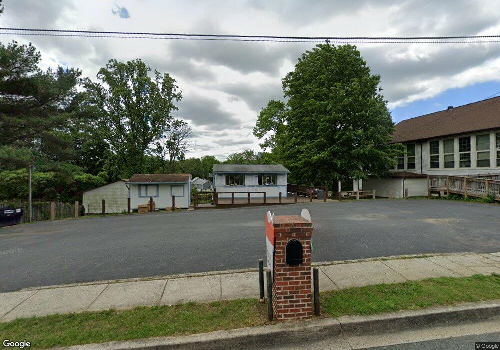
101 E Wheel Rd Unit B Bel Air, MD 21015
--
Bed
--
Bath
1,800
Sq Ft
0.76
Acres
About This Home
This home is located at 101 E Wheel Rd Unit B, Bel Air, MD 21015. 101 E Wheel Rd Unit B is a home located in Harford County with nearby schools including Ring Factory Elementary School, Patterson Mill Middle School, and Patterson Mill High School.
Ownership History
Date
Name
Owned For
Owner Type
Purchase Details
Closed on
Mar 5, 1996
Sold by
Freilich Linda M
Bought by
Freilich Linda M
Purchase Details
Closed on
Jul 29, 1991
Sold by
Morrison Maynard E
Bought by
Freilich Linda M
Purchase Details
Closed on
Apr 11, 1989
Sold by
Morrison Tommy W
Bought by
Morrison Maynard E
Home Financials for this Owner
Home Financials are based on the most recent Mortgage that was taken out on this home.
Original Mortgage
$650,000
Interest Rate
11.07%
Create a Home Valuation Report for This Property
The Home Valuation Report is an in-depth analysis detailing your home's value as well as a comparison with similar homes in the area
Home Values in the Area
Average Home Value in this Area
Purchase History
| Date | Buyer | Sale Price | Title Company |
|---|---|---|---|
| Freilich Linda M | -- | -- | |
| Freilich Linda M | $340,600 | -- | |
| Morrison Maynard E | $400,000 | -- |
Source: Public Records
Mortgage History
| Date | Status | Borrower | Loan Amount |
|---|---|---|---|
| Previous Owner | Morrison Maynard E | $650,000 |
Source: Public Records
Tax History Compared to Growth
Tax History
| Year | Tax Paid | Tax Assessment Tax Assessment Total Assessment is a certain percentage of the fair market value that is determined by local assessors to be the total taxable value of land and additions on the property. | Land | Improvement |
|---|---|---|---|---|
| 2025 | $4,331 | $404,467 | $0 | $0 |
| 2024 | $4,234 | $397,333 | $0 | $0 |
| 2023 | $4,234 | $390,200 | $216,300 | $173,900 |
| 2022 | $4,234 | $388,433 | $0 | $0 |
| 2021 | $0 | $386,667 | $0 | $0 |
| 2020 | $210 | $384,900 | $216,300 | $168,600 |
| 2019 | $4,431 | $383,933 | $0 | $0 |
| 2018 | $4,380 | $382,967 | $0 | $0 |
| 2017 | $4,368 | $382,000 | $0 | $0 |
| 2016 | $210 | $381,700 | $0 | $0 |
| 2015 | $4,567 | $381,400 | $0 | $0 |
| 2014 | $4,567 | $381,100 | $0 | $0 |
Source: Public Records
Map
Nearby Homes
- 220 Hunters Run Terrace
- 209 Hunters Run Terrace
- 234 Hunters Run Terrace
- 2411 Grand Oaks Ct
- 306 Fox Hound Ct
- 233 Burkwood Ct
- 2104 Cameron Ct
- 25 Oak Crest Ct
- 43 Oak Crest Ct
- 214 Maple Wreath Ct
- 202 Burkwood Ct
- 201 Burkwood Ct Unit 3B
- 2414 Laurel Bush Rd
- 2302 Bell's Tower Ct
- 2310 Bell's Tower Ct Unit 5
- 285 Maple Wreath Ct
- Parkland Plan at Bell's Tower - Bell's Tower
- 130 Royal Oak Dr Unit L
- 201 Oak Leaf Cir Unit G
- 292 Maple Wreath Ct
- 101 E Wheel Rd
- 2305 Old Emmorton Rd
- 107E E Wheel Rd
- 107 E Wheel Rd
- 2239 Old Emmorton Rd
- 2307 Old Emmorton Rd
- 108 E Wheel Rd
- 2237 Old Emmorton Rd
- 213 Temple Dr
- 2313 Old Emmorton Rd
- 211 Temple Dr
- 215 Temple Dr
- 2234 Old Emmorton Rd
- 109 E Wheel Rd
- 209 Temple Dr
- 217 Temple Dr
- 207 Temple Dr
- 219 Temple Dr
- 205 Temple Dr
- 221 Temple Dr