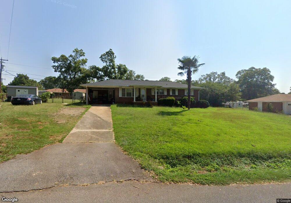
101 Edwards Dr Anderson, SC 29626
Estimated Value: $150,760 - $227,000
3
Beds
--
Bath
1,207
Sq Ft
$169/Sq Ft
Est. Value
About This Home
This home is located at 101 Edwards Dr, Anderson, SC 29626 and is currently estimated at $203,940, approximately $168 per square foot. 101 Edwards Dr is a home located in Anderson County with nearby schools including McLees Elementary School, Robert Anderson Middle School, and Westside High School.
Ownership History
Date
Name
Owned For
Owner Type
Purchase Details
Closed on
Jul 19, 2016
Sold by
Winn Alinda F
Bought by
Winn Alinda F
Current Estimated Value
Create a Home Valuation Report for This Property
The Home Valuation Report is an in-depth analysis detailing your home's value as well as a comparison with similar homes in the area
Home Values in the Area
Average Home Value in this Area
Purchase History
| Date | Buyer | Sale Price | Title Company |
|---|---|---|---|
| Winn Alinda F | -- | Attorney |
Source: Public Records
Tax History
| Year | Tax Paid | Tax Assessment Tax Assessment Total Assessment is a certain percentage of the fair market value that is determined by local assessors to be the total taxable value of land and additions on the property. | Land | Improvement |
|---|---|---|---|---|
| 2025 | $526 | $3,940 | $800 | $3,140 |
| 2024 | $526 | $3,940 | $800 | $3,140 |
| 2023 | $526 | $3,940 | $800 | $3,140 |
| 2022 | $496 | $3,940 | $800 | $3,140 |
| 2021 | $449 | $3,340 | $600 | $2,740 |
| 2020 | $443 | $3,340 | $600 | $2,740 |
| 2019 | $443 | $3,340 | $600 | $2,740 |
| 2018 | $450 | $3,340 | $600 | $2,740 |
| 2017 | -- | $3,340 | $600 | $2,740 |
| 2016 | $434 | $3,150 | $480 | $2,670 |
| 2015 | $442 | $3,150 | $480 | $2,670 |
| 2014 | $176 | $3,150 | $480 | $2,670 |
Source: Public Records
Map
Nearby Homes
- 202 Hazelwood Ave
- 318 Fretwell Dr
- 417 Greenmeadow Cir
- 207 Greenmeadow Cir
- 636 Jasmin Dr
- 231 Greenmeadow Cir
- 1718 W Market St
- 219 Beaty Square
- 2925 Dobbins Bridge Rd
- 1602 W Market St
- 113 Marsh Creek Dr
- 2011 W Whitner St
- 1520 Pearman Dairy Rd
- 0000 Pearman Dairy Rd
- 108 Meadowbrook Dr
- 221 Richey St
- 222 Hillcrest Cir
- 114 Hillcrest Cir
- 115 Hillcrest Cir
- 104 Royal View Dr
- 103 Edwards Dr
- 104 Hazelwood Ave
- 102 Hazelwood Ave
- 102 Edwards Dr
- 106 Hazelwood Ave
- 105 Edwards Dr
- 2401 Dobbins Bridge Rd
- 104 Edwards Dr
- 108 Hazelwood Ave
- 103 Hazelwood Ave
- 106 Edwards Dr
- 105 Hazelwood Ave
- 101 Hazelwood Ave
- 107 Hazelwood Ave
- 201 Edwards Dr
- 200 Edwards Dr
- 109 Hazelwood Ave
- 200 Hazelwood Ave
- 2303 Dobbins Bridge Rd
- 203 Edwards Dr
Your Personal Tour Guide
Ask me questions while you tour the home.