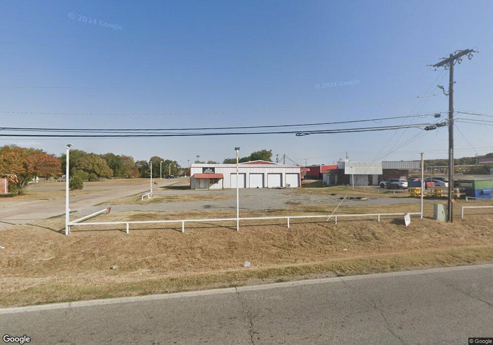
101 Elora St Locust Grove, OK 74352
--
Bed
--
Bath
2,000
Sq Ft
0.34
Acres
About This Home
This home is located at 101 Elora St, Locust Grove, OK 74352. 101 Elora St is a home located in Mayes County with nearby schools including Locust Grove Early Lrning Center, Locust Grove Upper Elementary School, and Locust Grove Middle School.
Ownership History
Date
Name
Owned For
Owner Type
Purchase Details
Closed on
Feb 28, 2025
Sold by
Ljs Cafe Llc
Bought by
Yang May and Lee Kevin
Purchase Details
Closed on
Oct 13, 2024
Sold by
Saffell Wendell Clay
Bought by
W Clay Staffell Trust and Saffell
Purchase Details
Closed on
Nov 15, 2010
Sold by
Kirby Kristi D and Kirby Chad
Bought by
Morehead Neil E and Morehead Rainy A
Home Financials for this Owner
Home Financials are based on the most recent Mortgage that was taken out on this home.
Original Mortgage
$64,667
Interest Rate
4.32%
Mortgage Type
Commercial
Purchase Details
Closed on
Feb 3, 2009
Sold by
Gregory Gerald W and Gregory Teresa
Bought by
Barnes Kristi D and Kirby Chad
Create a Home Valuation Report for This Property
The Home Valuation Report is an in-depth analysis detailing your home's value as well as a comparison with similar homes in the area
Home Values in the Area
Average Home Value in this Area
Purchase History
| Date | Buyer | Sale Price | Title Company |
|---|---|---|---|
| Yang May | $140,000 | First American Title | |
| Yang May | $140,000 | First American Title | |
| W Clay Staffell Trust | -- | None Listed On Document | |
| Morehead Neil E | $62,500 | None Available | |
| Barnes Kristi D | $35,000 | None Available |
Source: Public Records
Mortgage History
| Date | Status | Borrower | Loan Amount |
|---|---|---|---|
| Previous Owner | Morehead Neil E | $64,667 |
Source: Public Records
Tax History Compared to Growth
Tax History
| Year | Tax Paid | Tax Assessment Tax Assessment Total Assessment is a certain percentage of the fair market value that is determined by local assessors to be the total taxable value of land and additions on the property. | Land | Improvement |
|---|---|---|---|---|
| 2025 | $1,522 | $17,184 | $2,285 | $14,899 |
| 2024 | $1,522 | $16,365 | $2,285 | $14,080 |
| 2023 | $1,522 | $15,586 | $2,285 | $13,301 |
| 2022 | $1,339 | $14,844 | $2,285 | $12,559 |
| 2021 | $1,303 | $14,137 | $2,285 | $11,852 |
| 2020 | $1,259 | $13,464 | $2,285 | $11,179 |
| 2019 | $1,200 | $12,823 | $4,042 | $8,781 |
| 2018 | $1,225 | $12,823 | $4,042 | $8,781 |
| 2017 | $1,225 | $12,823 | $4,042 | $8,781 |
| 2016 | $1,196 | $12,823 | $4,042 | $8,781 |
| 2015 | $1,235 | $12,823 | $4,042 | $8,781 |
| 2014 | $1,235 | $12,823 | $4,042 | $8,781 |
Source: Public Records
Map
Nearby Homes
- 0 Hwy 82 S Unit 2503331
- 57 Joe Koelsch Dr
- 43 Joe Koelsch Dr
- 302 S Hwy 82
- 8604 S County Road 4468
- 608 S Cherokee St
- 715 S Cherokee St
- 815 S Cherokee St
- 301 S Water St
- 00 Hill St
- 212 N Mayes St
- 415 N Broadway
- 202 E Radcliff St
- 1 W Ross St
- 310 W Harrison
- 000 Earl Smith Rd
- 0 Peach St
- 0 Orange St
- 0 443 Unit 2440616
- 149 SE 4404 Loop