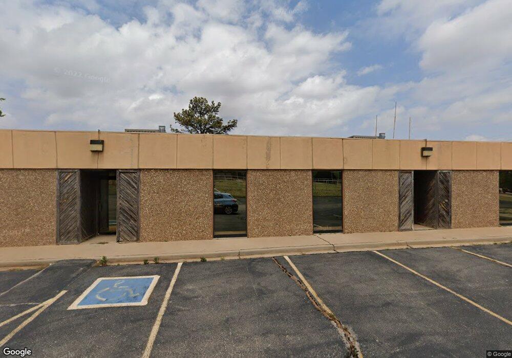
101 Falcon Rd Elk City, OK 73644
Estimated Value: $151,664
--
Bed
2
Baths
12,800
Sq Ft
$12/Sq Ft
Est. Value
About This Home
This home is located at 101 Falcon Rd, Elk City, OK 73644 and is currently priced at $151,664, approximately $11 per square foot. 101 Falcon Rd is a home located in Beckham County with nearby schools including Merritt Elementary School and Merritt High School.
Ownership History
Date
Name
Owned For
Owner Type
Purchase Details
Closed on
Aug 17, 2022
Sold by
Nelei Rowland Cezanne and Nelei Alexander
Bought by
Ionholdings Llc
Current Estimated Value
Home Financials for this Owner
Home Financials are based on the most recent Mortgage that was taken out on this home.
Original Mortgage
$118,943
Outstanding Balance
$100,351
Interest Rate
4.75%
Mortgage Type
New Conventional
Purchase Details
Closed on
May 7, 2001
Sold by
Barrios
Bought by
Moseley
Purchase Details
Closed on
Dec 31, 1993
Sold by
Falcon
Bought by
Barrios
Create a Home Valuation Report for This Property
The Home Valuation Report is an in-depth analysis detailing your home's value as well as a comparison with similar homes in the area
Home Values in the Area
Average Home Value in this Area
Purchase History
| Date | Buyer | Sale Price | Title Company |
|---|---|---|---|
| Ionholdings Llc | $12,500 | None Listed On Document | |
| Moseley | $130,000 | -- | |
| Barrios | $85,800 | -- |
Source: Public Records
Mortgage History
| Date | Status | Borrower | Loan Amount |
|---|---|---|---|
| Open | Ionholdings Llc | $118,943 |
Source: Public Records
Tax History Compared to Growth
Tax History
| Year | Tax Paid | Tax Assessment Tax Assessment Total Assessment is a certain percentage of the fair market value that is determined by local assessors to be the total taxable value of land and additions on the property. | Land | Improvement |
|---|---|---|---|---|
| 2025 | $653 | $7,011 | $1,200 | $5,811 |
| 2024 | $653 | $6,677 | $1,200 | $5,477 |
| 2023 | $622 | $6,359 | $1,200 | $5,159 |
| 2022 | $2,790 | $28,850 | $5,653 | $23,197 |
| 2021 | $2,740 | $27,476 | $5,370 | $22,106 |
| 2020 | $2,551 | $26,167 | $5,100 | $21,067 |
| 2019 | $2,356 | $24,921 | $4,843 | $20,078 |
| 2018 | $2,284 | $23,735 | $4,599 | $19,136 |
| 2017 | $2,137 | $22,605 | $4,366 | $18,239 |
| 2016 | $2,001 | $21,528 | $4,144 | $17,384 |
| 2015 | $1,633 | $20,504 | $3,933 | $16,571 |
| 2014 | $1,561 | $19,526 | $3,731 | $15,795 |
Source: Public Records
Map
Nearby Homes
- 3 Liberty Ln
- 4715 W 3rd St
- 715 W 3rd St
- 108 Mockingbird Ln
- 310 Ellis Ln
- 2304 Bell Ave
- 113 Ramsey Place
- 111 Ramsey Place
- 517 N Garrett St
- 0 Brian Rd
- 104 Brian Rd
- 1821 W B Ave
- 904 Kathys Place
- 519 N Peace Ave
- 1709 W Broadway Ave
- 1712 W B Ave
- 909 N Peace Ave
- 202 N Beckham Ave
- 0 Spencer Rd Unit 1180280
- 1501 W 1st St