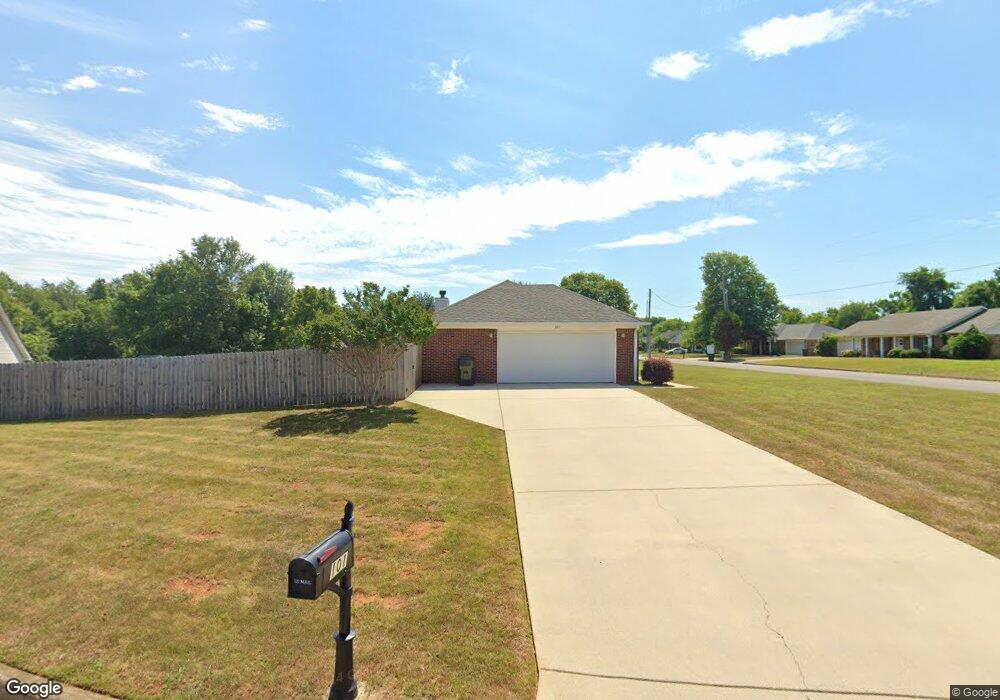
101 Flint Fork Cir New Market, AL 35761
Estimated Value: $222,000 - $254,000
--
Bed
--
Bath
1,342
Sq Ft
$177/Sq Ft
Est. Value
About This Home
This home is located at 101 Flint Fork Cir, New Market, AL 35761 and is currently estimated at $238,102, approximately $177 per square foot. 101 Flint Fork Cir is a home with nearby schools including Riverton Elementary School, Riverton Intermediate School, and Buckhorn Middle School.
Ownership History
Date
Name
Owned For
Owner Type
Purchase Details
Closed on
Jun 30, 2005
Sold by
Stewart Ronald M and Stewart Elena M
Bought by
Oliver Carol M
Current Estimated Value
Home Financials for this Owner
Home Financials are based on the most recent Mortgage that was taken out on this home.
Original Mortgage
$107,150
Outstanding Balance
$55,934
Interest Rate
5.66%
Mortgage Type
New Conventional
Estimated Equity
$182,168
Create a Home Valuation Report for This Property
The Home Valuation Report is an in-depth analysis detailing your home's value as well as a comparison with similar homes in the area
Home Values in the Area
Average Home Value in this Area
Purchase History
| Date | Buyer | Sale Price | Title Company |
|---|---|---|---|
| Oliver Carol M | -- | -- |
Source: Public Records
Mortgage History
| Date | Status | Borrower | Loan Amount |
|---|---|---|---|
| Open | Oliver Carol M | $107,150 |
Source: Public Records
Tax History Compared to Growth
Tax History
| Year | Tax Paid | Tax Assessment Tax Assessment Total Assessment is a certain percentage of the fair market value that is determined by local assessors to be the total taxable value of land and additions on the property. | Land | Improvement |
|---|---|---|---|---|
| 2024 | $565 | $16,960 | $1,900 | $15,060 |
| 2023 | $565 | $16,260 | $1,900 | $14,360 |
| 2022 | $489 | $14,880 | $1,900 | $12,980 |
| 2021 | $481 | $14,660 | $1,900 | $12,760 |
| 2020 | $429 | $13,210 | $1,890 | $11,320 |
| 2019 | $411 | $12,700 | $1,890 | $10,810 |
| 2018 | $386 | $12,040 | $0 | $0 |
| 2017 | $374 | $11,720 | $0 | $0 |
| 2016 | $374 | $11,720 | $0 | $0 |
| 2015 | $374 | $11,720 | $0 | $0 |
| 2014 | $370 | $11,620 | $0 | $0 |
Source: Public Records
Map
Nearby Homes
- 150 Sougahatchee Dr
- 158 Green Rd
- 146 Green Rd
- 3424 Winchester Rd NE
- 252 Cranbrook Dr
- 115 Bingham Way
- 125 Bingham Way
- 5652 Maysville Rd
- 138 River Walk Trail
- 109 Livy Lous Ln
- 324 Emma Way
- 123 Cedarcrest Cir
- 206 Roman Randall Rd
- 208 Roman Randall Rd
- 210 Roman Randall Rd
- 212 Roman Randall Rd
- 215 Roman Randall Rd
- The Benson II Plan at McMullen Gardens
- The Avery Plan at McMullen Gardens
- The Piedmont Plan at McMullen Gardens
- 100 Buckhorn Cir
- 103 Flint Fork Cir
- 100 Flint Fork Cir
- 144 Buckhead Run
- 102 Flint Fork Cir
- 142 Buckhead Run
- 102 Buckhorn Cir
- 104 Flint Fork Cir
- 140 Buckhead Run
- 146 Buckhead Run
- 138 Buckhead Run
- 104 Buckhorn Cir
- 150 Buckhead Run
- 151 Buckhead Run
- 152 Buckhead Run
- 101 Buckhorn Cir
- 136 Buckhead Run
- 155 Sougahatchee Dr
- 157 Sougahatchee Dr
- 103 Buckhorn Cir