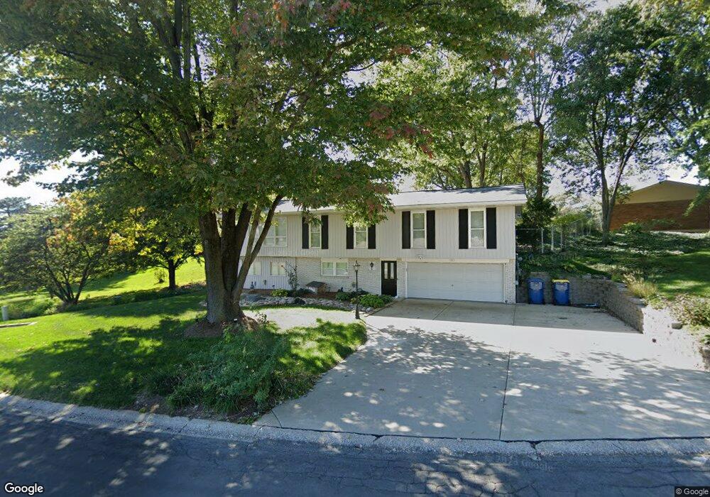
101 Glenridge Dr Collinsville, IL 62234
Estimated Value: $213,204 - $271,000
4
Beds
2
Baths
1,320
Sq Ft
$185/Sq Ft
Est. Value
About This Home
This home is located at 101 Glenridge Dr, Collinsville, IL 62234 and is currently estimated at $243,801, approximately $184 per square foot. 101 Glenridge Dr is a home located in Madison County with nearby schools including Maryville Elementary School, Dorris Intermediate School, and Collinsville Middle School.
Ownership History
Date
Name
Owned For
Owner Type
Purchase Details
Closed on
Jan 31, 2013
Sold by
Anderson Peggy Lee and Fritz Peggy Lee Edward
Bought by
Anderson Peggy Lee and Anderson Alan R
Current Estimated Value
Purchase Details
Closed on
Oct 27, 2010
Sold by
Fritz Peggy Lee Edwards
Bought by
Fritz Peggy Lee Edwards
Purchase Details
Closed on
Apr 29, 2006
Sold by
Walburn Lila Ann
Bought by
Walburn Lila Ann and Lila Ann Walburn Trust
Create a Home Valuation Report for This Property
The Home Valuation Report is an in-depth analysis detailing your home's value as well as a comparison with similar homes in the area
Home Values in the Area
Average Home Value in this Area
Purchase History
| Date | Buyer | Sale Price | Title Company |
|---|---|---|---|
| Anderson Peggy Lee | -- | None Available | |
| Fritz Peggy Lee Edwards | -- | None Available | |
| Walburn Lila Ann | -- | None Available |
Source: Public Records
Tax History Compared to Growth
Tax History
| Year | Tax Paid | Tax Assessment Tax Assessment Total Assessment is a certain percentage of the fair market value that is determined by local assessors to be the total taxable value of land and additions on the property. | Land | Improvement |
|---|---|---|---|---|
| 2024 | $3,369 | $66,620 | $15,810 | $50,810 |
| 2023 | $3,369 | $61,660 | $14,630 | $47,030 |
| 2022 | $3,152 | $57,020 | $13,530 | $43,490 |
| 2021 | $2,623 | $51,600 | $12,220 | $39,380 |
| 2020 | $2,497 | $49,230 | $11,660 | $37,570 |
| 2019 | $2,408 | $47,550 | $11,260 | $36,290 |
| 2018 | $2,337 | $45,050 | $10,670 | $34,380 |
| 2017 | $1,910 | $38,110 | $8,060 | $30,050 |
| 2016 | $2,010 | $38,110 | $8,060 | $30,050 |
| 2015 | $2,206 | $37,120 | $7,850 | $29,270 |
| 2014 | $2,206 | $37,120 | $7,850 | $29,270 |
| 2013 | $2,206 | $37,120 | $7,850 | $29,270 |
Source: Public Records
Map
Nearby Homes
- 130 Hilltop Place
- 226 Woodridge Ct
- 7 Keiths Ct
- 189 Meyer Dr
- 1815 Robins Mill Ct
- 1831 Crimson Oak Dr
- 1819 Robin Mills Ct
- 201 S Lange Ave
- 1826 Robin Mills Ct
- 1844 Crimson Oak Dr
- 1830 Robin Mills Ct
- 137 W Zupan St
- 2033 Mapleleaf Dr
- 131 E Country Ln
- 419 N Donk Ave
- 963 Long Branch Rd
- 961 Weathervane Ln
- 501 Drost St
- 2009 Buttonwood Ct
- 1005 Daniel Dr
- 101 Creekside Dr
- 100 Glenridge Dr
- 103 Creekside Dr
- 12 Creekside Dr
- 100 Creekside Dr
- 501 Troy Rd
- 105 Creekside Dr
- 102 Glenridge Dr
- 103 Glenridge Dr
- 104 Glenridge Dr
- 109 Creekside Dr
- 117 Hilltop Place
- 104 Creekside Dr
- 106 Creekside Dr
- 116 Hilltop Place
- 106 Glenridge Dr
- 28 Rex Dr
- 107 Creekside Dr
- 208 Rex Dr
- 114 Hilltop Place