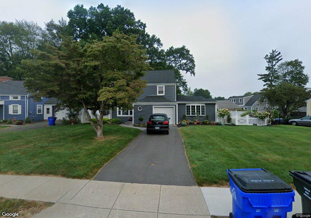
101 Grove St West Hartford, CT 06110
Estimated Value: $405,000 - $492,000
3
Beds
2
Baths
1,803
Sq Ft
$249/Sq Ft
Est. Value
About This Home
This home is located at 101 Grove St, West Hartford, CT 06110 and is currently estimated at $448,510, approximately $248 per square foot. 101 Grove St is a home located in Hartford County with nearby schools including Wolcott School, Sedgwick Middle School, and Conard High School.
Ownership History
Date
Name
Owned For
Owner Type
Purchase Details
Closed on
Sep 27, 1990
Sold by
Marchinoe Rose Est
Bought by
Pace Alfonso
Current Estimated Value
Home Financials for this Owner
Home Financials are based on the most recent Mortgage that was taken out on this home.
Original Mortgage
$147,000
Interest Rate
9.95%
Create a Home Valuation Report for This Property
The Home Valuation Report is an in-depth analysis detailing your home's value as well as a comparison with similar homes in the area
Home Values in the Area
Average Home Value in this Area
Purchase History
| Date | Buyer | Sale Price | Title Company |
|---|---|---|---|
| Pace Alfonso | $169,000 | -- |
Source: Public Records
Mortgage History
| Date | Status | Borrower | Loan Amount |
|---|---|---|---|
| Open | Pace Alfonso | $126,886 | |
| Closed | Pace Alfonso | $150,000 | |
| Closed | Pace Alfonso | $154,000 | |
| Closed | Pace Alfonso | $147,000 |
Source: Public Records
Tax History Compared to Growth
Tax History
| Year | Tax Paid | Tax Assessment Tax Assessment Total Assessment is a certain percentage of the fair market value that is determined by local assessors to be the total taxable value of land and additions on the property. | Land | Improvement |
|---|---|---|---|---|
| 2025 | $9,379 | $209,440 | $57,750 | $151,690 |
| 2024 | $8,870 | $209,440 | $57,750 | $151,690 |
| 2023 | $8,570 | $209,440 | $57,750 | $151,690 |
| 2022 | $8,520 | $209,440 | $57,750 | $151,690 |
| 2021 | $7,456 | $175,770 | $55,510 | $120,260 |
| 2020 | $6,657 | $159,250 | $46,690 | $112,560 |
| 2019 | $6,657 | $159,250 | $46,690 | $112,560 |
| 2018 | $6,529 | $159,250 | $46,690 | $112,560 |
| 2017 | $6,783 | $165,270 | $46,690 | $118,580 |
| 2016 | $6,701 | $169,610 | $54,180 | $115,430 |
| 2015 | $6,498 | $169,610 | $54,180 | $115,430 |
| 2014 | $6,338 | $169,610 | $54,180 | $115,430 |
Source: Public Records
Map
Nearby Homes
- 41 Page Ave
- 121 Cambridge St
- 49 Somerset St
- 1145 New Britain Ave
- 61 Colonial St
- 148 Colonial St
- 107 Westgate St
- 90 Park Place Cir Unit 90
- 49 Park Place Cir Unit 49
- 39 Cortland St
- 18 Federal St
- 479 S Main St
- 204 Trout Brook Dr
- 422 S Main St
- 17 Parkview Rd
- 741 Quaker Ln S
- 24 Thorne Rd Unit 24
- 29 Sunnyside Rd
- 20 Surrey Dr Unit B16 aka B4
- 305 Hampton Ct