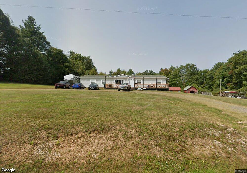
101 Harmies Bottom Rd Laurel Fork, VA 24352
Estimated Value: $208,000 - $290,000
Studio
--
Bath
--
Sq Ft
43,560
Sq Ft Lot
About This Home
This home is located at 101 Harmies Bottom Rd, Laurel Fork, VA 24352 and is currently estimated at $242,690. 101 Harmies Bottom Rd is a home located in Carroll County with nearby schools including Gladesboro Elementary School, Carroll County Middle School, and Carroll County High School.
Ownership History
Date
Name
Owned For
Owner Type
Purchase Details
Closed on
Sep 5, 2013
Sold by
Smith Damon G and Smith April D
Bought by
Smith April D
Current Estimated Value
Home Financials for this Owner
Home Financials are based on the most recent Mortgage that was taken out on this home.
Original Mortgage
$95,543
Interest Rate
5%
Mortgage Type
FHA
Create a Home Valuation Report for This Property
The Home Valuation Report is an in-depth analysis detailing your home's value as well as a comparison with similar homes in the area
Home Values in the Area
Average Home Value in this Area
Purchase History
| Date | Buyer | Sale Price | Title Company |
|---|---|---|---|
| Smith April D | -- | Fidelity National Title Insu |
Source: Public Records
Mortgage History
| Date | Status | Borrower | Loan Amount |
|---|---|---|---|
| Closed | Smith April D | $95,543 |
Source: Public Records
Tax History
| Year | Tax Paid | Tax Assessment Tax Assessment Total Assessment is a certain percentage of the fair market value that is determined by local assessors to be the total taxable value of land and additions on the property. | Land | Improvement |
|---|---|---|---|---|
| 2025 | $948 | $193,400 | $18,000 | $175,400 |
| 2024 | $706 | $119,600 | $16,000 | $103,600 |
| 2023 | $706 | $119,600 | $16,000 | $103,600 |
| 2022 | $765 | $119,600 | $16,000 | $103,600 |
| 2021 | $765 | $119,600 | $16,000 | $103,600 |
| 2020 | $659 | $90,300 | $14,000 | $76,300 |
| 2019 | $628 | $90,300 | $14,000 | $76,300 |
| 2018 | $628 | $90,300 | $14,000 | $76,300 |
| 2017 | $628 | $90,300 | $14,000 | $76,300 |
| 2016 | $662 | $97,400 | $14,000 | $83,400 |
| 2015 | -- | $97,400 | $14,000 | $83,400 |
| 2014 | -- | $97,400 | $14,000 | $83,400 |
Source: Public Records
Map
Nearby Homes
- TBD Keno Rd
- 4306 Keno Rd
- 927 Kinzer Rd
- 0 Red Roof Ln
- 487 Dry Twig Rd
- 205 Volunteer Rd
- 130 Volunteer Rd
- TBD Old Mill Ct
- 800 Volunteer Rd
- 83 Acres Volunteer Rd
- TBD Excelsior School Rd
- TBA Meadow Run Ln
- 233 Alpine Crest Rd
- 332 Alpine Crest Rd
- TBD Dr
- 48 Acres R-Way Dr
- Lot 23 W Pheasant Chase None
- TBD Tbd Falcon Ridge
- 839 Excelsior School Rd
- 1533 Groundhog Mountain Rd
- 1677 Kinzer Rd
- 261 Harmies Bottom Rd
- 1481 Kinzer Rd
- 2581 Keno Rd
- 215 Kinzer Rd
- 299 Harmies Bottom Rd
- 2623 Keno Rd
- 323 Harmies Bottom Rd
- 1425 Kinzer Rd
- 1234 Willis Gap Rd
- 1288 Willis Gap Rd
- 2390 Keno Rd
- 399 Harmies Bottom Rd
- 395 Kinzer Rd
- 1132 Willis Gap Rd
- 2320 Keno Rd
- 2225 Keno Rd
- 2804 Keno Rd
- 2899 Keno Rd
- 2226 Keno Rd
Your Personal Tour Guide
Ask me questions while you tour the home.