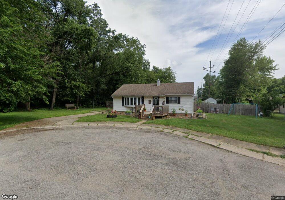
101 Helen Ct La Porte, IN 46350
Estimated Value: $176,000 - $188,000
3
Beds
1
Bath
960
Sq Ft
$189/Sq Ft
Est. Value
About This Home
This home is located at 101 Helen Ct, La Porte, IN 46350 and is currently estimated at $181,858, approximately $189 per square foot. 101 Helen Ct is a home located in LaPorte County with nearby schools including Hailmann Elementary School, La Porte High School, and Kesling Intermediate School.
Ownership History
Date
Name
Owned For
Owner Type
Purchase Details
Closed on
Nov 10, 2009
Sold by
Richie Darris and Richie Wanda
Bought by
Hardesty Rachael A
Current Estimated Value
Home Financials for this Owner
Home Financials are based on the most recent Mortgage that was taken out on this home.
Original Mortgage
$74,623
Outstanding Balance
$48,476
Interest Rate
4.9%
Mortgage Type
FHA
Estimated Equity
$133,382
Purchase Details
Closed on
Feb 3, 2009
Sold by
The Secretary Of Veterans Affairs
Bought by
Richie Dorris and Richie Wanda
Purchase Details
Closed on
Dec 13, 2006
Sold by
Bank Of America Na
Bought by
Va
Create a Home Valuation Report for This Property
The Home Valuation Report is an in-depth analysis detailing your home's value as well as a comparison with similar homes in the area
Home Values in the Area
Average Home Value in this Area
Purchase History
| Date | Buyer | Sale Price | Title Company |
|---|---|---|---|
| Hardesty Rachael A | -- | Metropolitan Title | |
| Richie Dorris | -- | First Title Of Indiana Inc | |
| Va | -- | None Available | |
| Bank Of America Na | $67,980 | None Available |
Source: Public Records
Mortgage History
| Date | Status | Borrower | Loan Amount |
|---|---|---|---|
| Open | Hardesty Rachael A | $74,623 |
Source: Public Records
Tax History Compared to Growth
Tax History
| Year | Tax Paid | Tax Assessment Tax Assessment Total Assessment is a certain percentage of the fair market value that is determined by local assessors to be the total taxable value of land and additions on the property. | Land | Improvement |
|---|---|---|---|---|
| 2024 | $1,136 | $124,000 | $31,500 | $92,500 |
| 2022 | $950 | $98,000 | $21,300 | $76,700 |
| 2021 | $950 | $95,000 | $21,300 | $73,700 |
| 2020 | $950 | $95,000 | $18,900 | $76,100 |
| 2019 | $975 | $92,700 | $18,900 | $73,800 |
| 2018 | $811 | $82,000 | $15,100 | $66,900 |
| 2017 | $756 | $81,100 | $15,100 | $66,000 |
| 2016 | $623 | $75,000 | $16,300 | $58,700 |
| 2014 | $544 | $71,000 | $16,300 | $54,700 |
Source: Public Records
Map
Nearby Homes
- 0 E Jefferson Ave
- 205 Lawrence St
- 414 Allen St
- 810 Virginia Ave
- 916 Ohio St
- 717 E Lincolnway
- 907 Division St
- 807 Division St
- 208 Norton St
- 503 Grove St
- 330 Virginia Ave
- 910 Scott St
- 602 Plain St
- 0 Brighton St Unit NRA542345
- 206 Ohio St
- 1401 Rumely St
- 403 Rose St
- 202 Jefferson Ave
- 107 Lincolnway
- 906 Linwood Ave
- 504 Roberts St
- 618 Talley St
- 502 Roberts St
- 102 Helen Ct
- 508 Roberts St
- 505 Roberts St
- 503 Roberts St
- 406 Roberts St
- 510 Roberts St
- 619 Talley St
- 507 Roberts St
- 501 Roberts St
- 1109 Paulette Dr
- 1107 Paulette Dr
- 509 Roberts St
- 512 Roberts St
- 511 Roberts St
- 1105 Paulette Dr
- 404 Roberts St
- 405 Roberts St