101 High Point Rd Weatherford, TX 76088
Estimated Value: $377,960 - $791,000
--
Bed
--
Bath
1,586
Sq Ft
$323/Sq Ft
Est. Value
About This Home
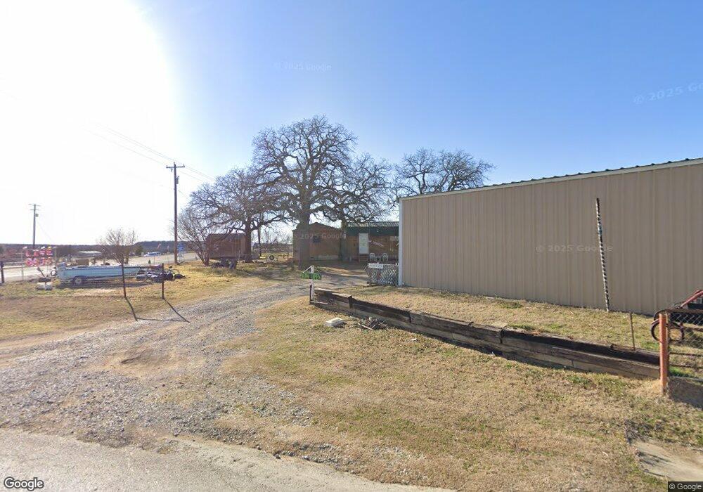
This home is located at 101 High Point Rd, Weatherford, TX 76088 and is currently estimated at $512,990, approximately $323 per square foot. 101 High Point Rd is a home located in Parker County with nearby schools including Garner Elementary School and Community Christian School.
Ownership History
Date
Name
Owned For
Owner Type
Purchase Details
Closed on
Aug 20, 2025
Sold by
Yarbrough Charles
Bought by
Yarbrough Joan and Yarbrough Charles
Current Estimated Value
Purchase Details
Closed on
Aug 22, 1996
Bought by
Yarbrough Charles Dba B & C Sales
Purchase Details
Closed on
Sep 5, 1986
Bought by
Yarbrough Charles Dba B & C Sales
Create a Home Valuation Report for This Property
The Home Valuation Report is an in-depth analysis detailing your home's value as well as a comparison with similar homes in the area
Home Values in the Area
Average Home Value in this Area
Purchase History
| Date | Buyer | Sale Price | Title Company |
|---|---|---|---|
| Yarbrough Joan | -- | None Listed On Document | |
| Yarbrough Charles Dba B & C Sales | -- | -- | |
| Yarbrough Charles Dba B & C Sales | -- | -- |
Source: Public Records
Tax History Compared to Growth
Tax History
| Year | Tax Paid | Tax Assessment Tax Assessment Total Assessment is a certain percentage of the fair market value that is determined by local assessors to be the total taxable value of land and additions on the property. | Land | Improvement |
|---|---|---|---|---|
| 2025 | $1,838 | $332,290 | -- | -- |
| 2024 | $1,838 | $302,082 | -- | -- |
| 2023 | $1,838 | $274,620 | $0 | $0 |
| 2022 | $3,888 | $373,360 | $172,640 | $200,720 |
| 2021 | $3,959 | $373,360 | $172,640 | $200,720 |
| 2020 | $3,643 | $209,290 | $50,710 | $158,580 |
| 2019 | $3,892 | $209,290 | $50,710 | $158,580 |
| 2018 | $3,781 | $202,040 | $52,190 | $149,850 |
| 2017 | $3,837 | $202,040 | $52,190 | $149,850 |
| 2016 | $3,523 | $185,530 | $52,190 | $133,340 |
| 2015 | $2,914 | $185,530 | $52,190 | $133,340 |
| 2014 | $2,909 | $174,450 | $52,190 | $122,260 |
Source: Public Records
Map
Nearby Homes
- 12700 Mineral Wells Hwy Unit 1
- 110 Morris Ct
- 504 Bellaire Cir
- 6507 Shadowview Ct
- 1122 Wilson Bend Rd
- 10669 Mineral Wells Hwy
- 10309 Mineral Wells Hwy
- TBD Sam Houston St
- 4005 Marine Cir
- 348 Sam Houston St
- 1045 Churchill Ln
- 4294 Sartain Rd
- TBD Sam Houston St C St
- TBD S Farm To Market Road 113
- 600 Wilson Bend Rd
- TBD Pershing Rd
- 2005 Tillman Blvd
- 5210 Laurie Dr
- tbd Hamilton Rd
- 00000 Hamilton Rd
- 12250 Mineral Wells Hwy
- 161 Mount Zion Rd
- 12240 Mineral Wells Hwy
- 12240 Mineral Wells Hwy
- 151 High Point Rd
- 157 High Point Rd
- 696 High Point Ct
- 602 High Point Ct
- 651 Maddux Rd
- 509 High Point Ct
- 624 Maddux Rd
- 11901 Mineral Wells Hwy
- 275 High Point Rd
- 00 Tbd
- 637 Maddux Rd
- 313 High Point Rd
- 27750 5th
- 631 Maddux Rd
- 322 High Point Rd
- 625 Maddux Rd