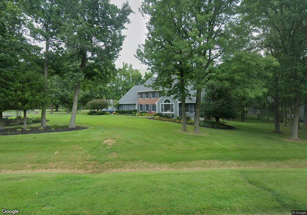
101 Holly Ct Stevensville, MD 21666
Estimated Value: $743,304 - $932,000
--
Bed
3
Baths
3,122
Sq Ft
$275/Sq Ft
Est. Value
About This Home
This home is located at 101 Holly Ct, Stevensville, MD 21666 and is currently estimated at $858,076, approximately $274 per square foot. 101 Holly Ct is a home located in Queen Anne's County with nearby schools including Matapeake Elementary School, Matapeake Middle School, and Kent Island High School.
Ownership History
Date
Name
Owned For
Owner Type
Purchase Details
Closed on
Jul 1, 2024
Sold by
Robinson Verna Battle and Robinson Gregory
Bought by
Robinson Gregory and Robinson Verna
Current Estimated Value
Purchase Details
Closed on
Sep 4, 1990
Sold by
Wharton Rayner C
Bought by
Robinson Gregory and Verna Robinson
Home Financials for this Owner
Home Financials are based on the most recent Mortgage that was taken out on this home.
Original Mortgage
$187,400
Interest Rate
10.24%
Purchase Details
Closed on
Jun 14, 1989
Sold by
Garrett Wilbur R and Garrett Bertha
Bought by
Wharton Rayner C
Create a Home Valuation Report for This Property
The Home Valuation Report is an in-depth analysis detailing your home's value as well as a comparison with similar homes in the area
Home Values in the Area
Average Home Value in this Area
Purchase History
| Date | Buyer | Sale Price | Title Company |
|---|---|---|---|
| Robinson Gregory | -- | None Listed On Document | |
| Robinson Gregory | -- | None Listed On Document | |
| Robinson Gregory | $255,300 | -- | |
| Wharton Rayner C | $55,000 | -- |
Source: Public Records
Mortgage History
| Date | Status | Borrower | Loan Amount |
|---|---|---|---|
| Previous Owner | Robinson Gregory | $187,400 |
Source: Public Records
Tax History Compared to Growth
Tax History
| Year | Tax Paid | Tax Assessment Tax Assessment Total Assessment is a certain percentage of the fair market value that is determined by local assessors to be the total taxable value of land and additions on the property. | Land | Improvement |
|---|---|---|---|---|
| 2025 | $5,740 | $626,167 | $0 | $0 |
| 2024 | $5,457 | $585,133 | $0 | $0 |
| 2023 | $5,185 | $544,100 | $192,700 | $351,400 |
| 2022 | $5,047 | $529,367 | $0 | $0 |
| 2021 | $4,855 | $514,633 | $0 | $0 |
| 2020 | $4,855 | $499,900 | $192,700 | $307,200 |
| 2019 | $4,777 | $491,800 | $0 | $0 |
| 2018 | $4,699 | $483,700 | $0 | $0 |
| 2017 | $4,621 | $475,600 | $0 | $0 |
| 2016 | -- | $475,600 | $0 | $0 |
| 2015 | $2,241 | $475,600 | $0 | $0 |
| 2014 | $2,241 | $481,100 | $0 | $0 |
Source: Public Records
Map
Nearby Homes
- 114 Queens Colony High Rd
- 303 Queens Colony High Rd
- 312 Queens Colony High Rd
- 511 Chesapeake Ave
- 206 Columbia Ln
- 0 Allen Ave
- 410 5 Farms Dr
- 0 Reynolds Ave
- 227 Queen Anne Club Dr
- 412 Five Farms Dr
- 303 Queen Anne Club Dr
- 312 Columbia Ln
- 116 Mallard Dr
- 122 Mallard Dr
- 101 Oak St
- Lot 7 Maple Rd
- 321 Oregon Rd
- 103 Chesapeake Estates Dr
- 122 S Carolina Rd
- 0 Chesapeake Estates Dr
- 103 Holly Ct
- 125 Holly Thicket
- 105 Holly Ct
- 102 Holly Ct
- 200 Holly Thicket
- 123 Queens Colony High Rd
- 100 Holly Ct
- 201 Queens Colony High Rd
- 104 Holly Ct
- 203 Holly Ct
- 107 Holly Ct
- 121 Queens Colony High Rd
- 120 Queens Colony High Rd
- 200 Queens Colony High Rd
- 109 Holly Ct
- 202 Holly Ct
- 202 Queens Colony High Rd
- 106 Holly Ct
- 205 Holly Ct
- 203 Queens Colony High Rd