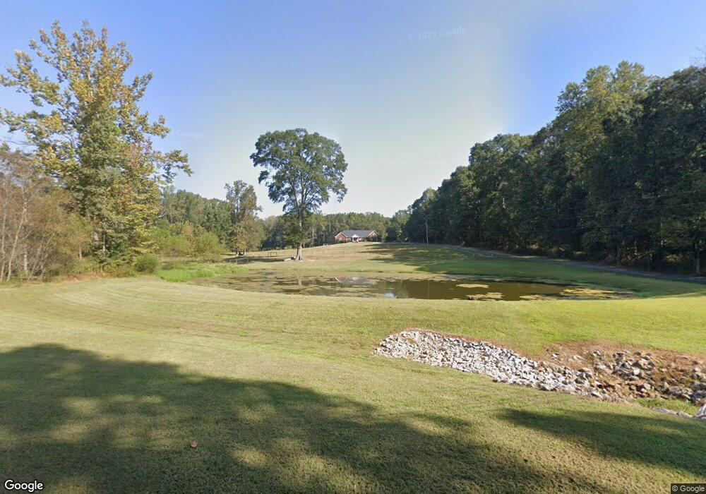
101 Horton Rd Carrollton, GA 30117
Estimated Value: $469,000 - $839,554
3
Beds
3
Baths
2,494
Sq Ft
$242/Sq Ft
Est. Value
About This Home
This home is located at 101 Horton Rd, Carrollton, GA 30117 and is currently estimated at $603,851, approximately $242 per square foot. 101 Horton Rd is a home located in Carroll County with nearby schools including Roopville Elementary School, Central Middle School, and Central High School.
Ownership History
Date
Name
Owned For
Owner Type
Purchase Details
Closed on
Feb 15, 2001
Sold by
Windom David W and Windom Ali
Bought by
Windom David W and Windom Alisha F
Current Estimated Value
Purchase Details
Closed on
Apr 13, 1999
Sold by
Windom Henry Etal
Bought by
Windom David W and Windom Ali
Purchase Details
Closed on
Nov 26, 1997
Sold by
Windom Henry and Windom David
Bought by
Windom Henry Etal
Purchase Details
Closed on
Jun 9, 1989
Bought by
Windom Henry and Windom David
Create a Home Valuation Report for This Property
The Home Valuation Report is an in-depth analysis detailing your home's value as well as a comparison with similar homes in the area
Home Values in the Area
Average Home Value in this Area
Purchase History
| Date | Buyer | Sale Price | Title Company |
|---|---|---|---|
| Windom David W | -- | -- | |
| Windom David W | -- | -- | |
| Windom Henry Etal | -- | -- | |
| Windom Henry | -- | -- |
Source: Public Records
Tax History Compared to Growth
Tax History
| Year | Tax Paid | Tax Assessment Tax Assessment Total Assessment is a certain percentage of the fair market value that is determined by local assessors to be the total taxable value of land and additions on the property. | Land | Improvement |
|---|---|---|---|---|
| 2024 | $2,503 | $300,000 | $165,687 | $134,313 |
| 2023 | $2,503 | $307,263 | $159,852 | $147,411 |
| 2022 | $2,482 | $224,957 | $106,568 | $118,389 |
| 2021 | $2,376 | $186,800 | $85,254 | $101,546 |
| 2020 | $2,195 | $166,706 | $77,502 | $89,204 |
| 2019 | $2,062 | $159,393 | $77,502 | $81,891 |
| 2018 | $2,017 | $130,152 | $58,604 | $71,548 |
| 2017 | $2,011 | $130,152 | $58,604 | $71,548 |
| 2016 | $2,002 | $130,152 | $58,604 | $71,548 |
| 2015 | $2,411 | $107,307 | $31,608 | $75,700 |
| 2014 | $2,411 | $107,308 | $31,608 | $75,700 |
Source: Public Records
Map
Nearby Homes
- 1531 Tyus Carrollton Rd
- 450 Baxter Rd
- 1575 Bethesda Church Rd
- 1593 Bethesda Church Rd
- 1611 Bethesda Church Rd
- 1629 Bethesda Church Rd
- 105 Woodbine Dr
- 345 Piney Grove Rd
- 20 Camp Ct
- 399 Old Camp Church Rd
- 195 Gold Dust Trail
- 95 Camp Ln
- 915 Oak Grove Rd
- 0 Bonner Rd Unit 10635754
- 0 Buffalo Creek Rd Unit 10624169
- 533 Buffalo Creek Rd
- 3680 W Highway 166
- 431 Bethesda Church Rd
- 371 Bethesda Church Rd
- 363 Bethesda Church Rd
- 55 Horton Rd
- 227 Horton Rd
- 345 Bethesda Church Rd
- 395 Bethesda Church Rd
- 375 Bethesda Church Rd
- 261 Horton Rd
- 465 Bethesda Church Rd
- 266 Horton Rd
- 428 Bethesda Church Rd
- 364 Bethesda Church Rd
- 513 Bethesda Church Rd
- 360 Bethesda Church Rd
- 2008 Tyus Carrollton Rd
- 1988 Tyus Carrollton Rd
- 165 Bethesda Church Rd
- 1898 Tyus Carrollton Rd
- 1953 Tyus Carrollton Rd