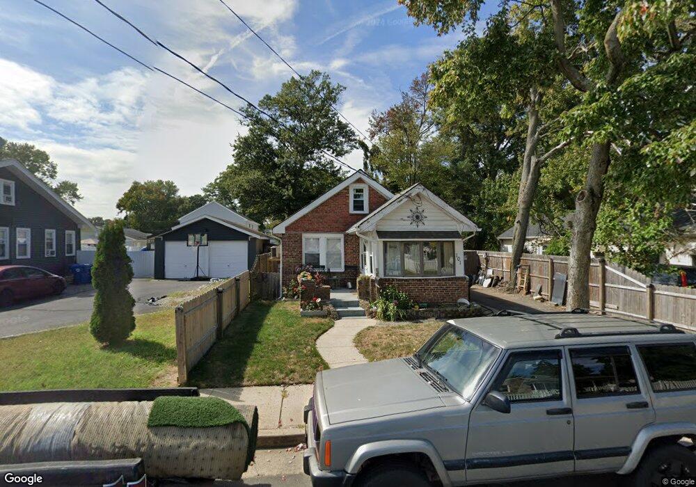
101 Hudson Ave North Middletown, NJ 07748
Estimated Value: $320,000 - $372,000
3
Beds
1
Bath
1,055
Sq Ft
$334/Sq Ft
Est. Value
About This Home
This home is located at 101 Hudson Ave, North Middletown, NJ 07748 and is currently estimated at $352,385, approximately $334 per square foot. 101 Hudson Ave is a home located in Monmouth County with nearby schools including Ocean Avenue Elementary School, Thorne Middle School, and Middletown High School North.
Ownership History
Date
Name
Owned For
Owner Type
Purchase Details
Closed on
May 20, 2004
Sold by
Bachstadt Carl
Bought by
Oches Robert
Current Estimated Value
Home Financials for this Owner
Home Financials are based on the most recent Mortgage that was taken out on this home.
Original Mortgage
$187,166
Outstanding Balance
$90,462
Interest Rate
5.94%
Mortgage Type
FHA
Estimated Equity
$261,923
Create a Home Valuation Report for This Property
The Home Valuation Report is an in-depth analysis detailing your home's value as well as a comparison with similar homes in the area
Home Values in the Area
Average Home Value in this Area
Purchase History
| Date | Buyer | Sale Price | Title Company |
|---|---|---|---|
| Oches Robert | $190,000 | -- |
Source: Public Records
Mortgage History
| Date | Status | Borrower | Loan Amount |
|---|---|---|---|
| Open | Oches Robert | $187,166 |
Source: Public Records
Tax History Compared to Growth
Tax History
| Year | Tax Paid | Tax Assessment Tax Assessment Total Assessment is a certain percentage of the fair market value that is determined by local assessors to be the total taxable value of land and additions on the property. | Land | Improvement |
|---|---|---|---|---|
| 2025 | $5,188 | $359,700 | $234,200 | $125,500 |
| 2024 | $4,355 | $315,400 | $193,300 | $122,100 |
| 2023 | $4,355 | $250,600 | $170,400 | $80,200 |
| 2022 | $3,767 | $206,900 | $138,500 | $68,400 |
| 2021 | $3,767 | $181,100 | $105,500 | $75,600 |
| 2020 | $3,618 | $169,200 | $95,300 | $73,900 |
| 2019 | $3,497 | $165,600 | $92,500 | $73,100 |
| 2018 | $3,515 | $162,200 | $92,500 | $69,700 |
| 2017 | $3,222 | $147,200 | $79,600 | $67,600 |
| 2016 | $3,043 | $142,800 | $69,600 | $73,200 |
| 2015 | $3,154 | $142,900 | $69,600 | $73,300 |
| 2014 | $3,657 | $161,600 | $94,600 | $67,000 |
Source: Public Records
Map
Nearby Homes
- 91 Monmouth Ave
- 93 Monmouth Ave
- 280 Linden Ave
- 71 Bay Ave
- 289 Port Monmouth Rd
- 31 Ocean Ave
- 443 Port Monmouth Rd E
- 210 Ocean Ave
- 31 Monmouth Ave
- 22 Carter Ave
- 98 Seabreeze Ave
- 0 Bray Ave Unit 22420777
- 0 Clinton St Unit 22238196
- 0 S End Ave Unit 22420779
- 32 Dakota Ave
- 231 Shore Blvd
- 10 Morningside Ave
- 0 Oregon Ave
- 170 Park Ave
- 118 Jersey Ave
- 97 Hudson Ave
- 105 Hudson Ave
- 95 Hudson Ave
- 36 Shoreland Terrace
- 34 Shoreland Terrace
- 93 Hudson Ave
- 38 Shoreland Terrace
- 44 Shoreland Terrace
- 32 Shoreland Terrace
- 100 Hudson Ave
- 48 Shoreland Terrace
- 108 Hudson Ave
- 91 Hudson Ave
- 50 Shoreland Terrace
- 26 Shoreland Terrace
- 115 Hudson Ave
- 94 Hudson Ave
- 116 Hudson Ave
- 52 Shoreland Terrace
- 13 Passaic St