101 Jones Rd West Newfield, ME 04095
Newfield NeighborhoodEstimated Value: $357,669 - $462,000
--
Bed
--
Bath
--
Sq Ft
4
Acres
About This Home
This home is located at 101 Jones Rd, West Newfield, ME 04095 and is currently estimated at $420,223. 101 Jones Rd is a home with nearby schools including Massabesic High School.
Ownership History
Date
Name
Owned For
Owner Type
Purchase Details
Closed on
Mar 15, 2005
Sold by
Monroe Sara J
Bought by
Petkevitch Sara J and Petkevitch Alexander D
Current Estimated Value
Home Financials for this Owner
Home Financials are based on the most recent Mortgage that was taken out on this home.
Original Mortgage
$270,000
Outstanding Balance
$63,844
Interest Rate
5.64%
Mortgage Type
Purchase Money Mortgage
Estimated Equity
$356,379
Create a Home Valuation Report for This Property
The Home Valuation Report is an in-depth analysis detailing your home's value as well as a comparison with similar homes in the area
Home Values in the Area
Average Home Value in this Area
Purchase History
| Date | Buyer | Sale Price | Title Company |
|---|---|---|---|
| Petkevitch Sara J | -- | -- |
Source: Public Records
Mortgage History
| Date | Status | Borrower | Loan Amount |
|---|---|---|---|
| Open | Petkevitch Sara J | $270,000 |
Source: Public Records
Tax History Compared to Growth
Tax History
| Year | Tax Paid | Tax Assessment Tax Assessment Total Assessment is a certain percentage of the fair market value that is determined by local assessors to be the total taxable value of land and additions on the property. | Land | Improvement |
|---|---|---|---|---|
| 2024 | $3,154 | $267,300 | $61,300 | $206,000 |
| 2023 | $2,919 | $267,300 | $61,300 | $206,000 |
| 2022 | $2,609 | $267,300 | $61,300 | $206,000 |
| 2021 | $2,433 | $213,800 | $49,000 | $164,800 |
| 2020 | $2,433 | $213,800 | $49,000 | $164,800 |
| 2019 | $2,382 | $213,800 | $49,000 | $164,800 |
| 2018 | $2,339 | $213,800 | $49,000 | $164,800 |
| 2017 | $2,309 | $213,800 | $49,000 | $164,800 |
| 2016 | $2,247 | $213,800 | $49,000 | $164,800 |
| 2015 | $2,082 | $213,800 | $49,000 | $164,800 |
| 2014 | $2,081 | $223,800 | $69,600 | $154,200 |
| 2013 | $2,014 | $223,800 | $69,600 | $154,200 |
Source: Public Records
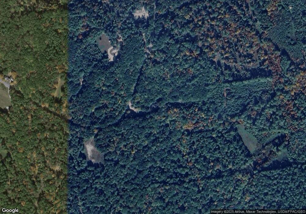
Map
Nearby Homes
- Parcel #1 Sanborn Rd
- 0 Whitehouse Rd
- 20 Shepard's Island Rd
- 315 Libby Rd
- 0 Island Dr
- 57 Green Bay Rd
- 00 Libby Rd Unit Lot 9
- 51 Mill Pond Rd
- TBD Wakefield Rd
- 350 Concord Ln Unit 20
- 322 Concord Ln
- 78 Glen Rd
- 8 Eliot Dr
- 62 Thoreau Trail
- 30 Thoreau Trail
- 1 Corson Rd
- 253 Asbury Ln
- 0 Monique Dr Unit 5047887
- 86 Concord Ln
- 82 Robinhood Rd
- 195 Sanborn Rd
- TBB-1 Sanborn Rd
- TBB-2 Sanborn Rd
- TBD-partia Sanborn Rd
- 90 Sanborn Rd
- 217 Sanborn Rd
- 216 Sanborn Rd
- 0 Sanborn Rd
- 0 Sanborn Rd
- 69 Sanborn Rd
- 25 Jones Rd
- Lot #1 Sanborn Rd
- 56 Sanborn Rd
- 249 Sanborn Rd
- 13 Jones Rd
- Map48 Lot5 Sanborn Rd
- Lot 16.2.1 Sanborn Rd
- Lot 16.2 Sanborn Rd
- Lot #38 Sanborn Rd