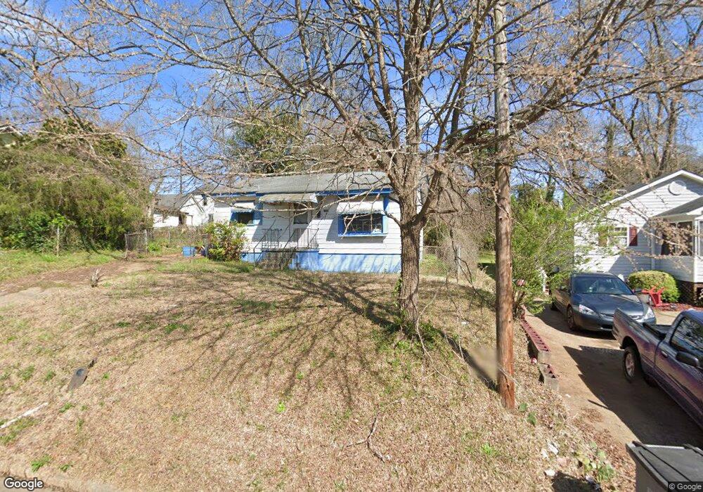
101 Keyes St Lagrange, GA 30241
Estimated Value: $56,000 - $75,000
2
Beds
1
Bath
725
Sq Ft
$89/Sq Ft
Est. Value
About This Home
This home is located at 101 Keyes St, Lagrange, GA 30241 and is currently estimated at $64,650, approximately $89 per square foot. 101 Keyes St is a home located in Troup County with nearby schools including Hollis Hand Elementary School, Franklin Forest Elementary School, and Ethel W. Kight Elementary School.
Ownership History
Date
Name
Owned For
Owner Type
Purchase Details
Closed on
Nov 1, 2005
Sold by
Wood Mildred
Bought by
Thomas Annie Lois
Current Estimated Value
Purchase Details
Closed on
Mar 24, 1992
Sold by
Raymond M Wood
Bought by
Mildred D Wood
Purchase Details
Closed on
Jun 4, 1985
Sold by
Leonard Marc E and Leonard Wood
Bought by
Raymond M Wood
Purchase Details
Closed on
May 14, 1985
Sold by
Acree Marc and Wood Leonard
Bought by
Leonard Marc E and Leonard Wood
Purchase Details
Closed on
Mar 30, 1985
Sold by
Hines Annie Pearl
Bought by
Acree Marc and Wood Leonard
Purchase Details
Closed on
Sep 1, 1962
Sold by
Moore Ethel H
Bought by
Hines Annie Pearl
Create a Home Valuation Report for This Property
The Home Valuation Report is an in-depth analysis detailing your home's value as well as a comparison with similar homes in the area
Purchase History
| Date | Buyer | Sale Price | Title Company |
|---|---|---|---|
| Thomas Annie Lois | $19,500 | -- | |
| Mildred D Wood | -- | -- | |
| Raymond M Wood | $15,000 | -- | |
| Leonard Marc E | $12,000 | -- | |
| Acree Marc | -- | -- | |
| Hines Annie Pearl | -- | -- |
Source: Public Records
Tax History
| Year | Tax Paid | Tax Assessment Tax Assessment Total Assessment is a certain percentage of the fair market value that is determined by local assessors to be the total taxable value of land and additions on the property. | Land | Improvement |
|---|---|---|---|---|
| 2025 | $431 | $15,800 | $3,200 | $12,600 |
| 2024 | $395 | $14,480 | $3,200 | $11,280 |
| 2023 | $303 | $11,120 | $3,200 | $7,920 |
| 2022 | $298 | $10,680 | $3,200 | $7,480 |
| 2021 | $258 | $8,560 | $1,840 | $6,720 |
| 2020 | $258 | $8,560 | $1,840 | $6,720 |
| 2019 | $246 | $8,144 | $1,864 | $6,280 |
| 2018 | $246 | $8,144 | $1,864 | $6,280 |
| 2017 | $246 | $8,144 | $1,864 | $6,280 |
| 2016 | $243 | $8,067 | $1,864 | $6,203 |
| 2015 | $244 | $8,067 | $1,864 | $6,203 |
| 2014 | $234 | $7,741 | $1,864 | $5,877 |
| 2013 | -- | $8,724 | $1,864 | $6,860 |
Source: Public Records
Map
Nearby Homes
Your Personal Tour Guide
Ask me questions while you tour the home.