101 Konchar Ln New Cumberland, WV 26047
Estimated Value: $276,000 - $351,000
3
Beds
2
Baths
1,492
Sq Ft
$203/Sq Ft
Est. Value
About This Home
This home is located at 101 Konchar Ln, New Cumberland, WV 26047 and is currently estimated at $303,386, approximately $203 per square foot. 101 Konchar Ln is a home located in Hancock County.
Ownership History
Date
Name
Owned For
Owner Type
Purchase Details
Closed on
Oct 24, 2006
Sold by
Crago Alan P
Bought by
Hershiser Brooke D and Hershiser Cheryl L
Current Estimated Value
Home Financials for this Owner
Home Financials are based on the most recent Mortgage that was taken out on this home.
Original Mortgage
$145,600
Interest Rate
6.47%
Mortgage Type
New Conventional
Create a Home Valuation Report for This Property
The Home Valuation Report is an in-depth analysis detailing your home's value as well as a comparison with similar homes in the area
Home Values in the Area
Average Home Value in this Area
Purchase History
| Date | Buyer | Sale Price | Title Company |
|---|---|---|---|
| Hershiser Brooke D | $182,000 | None Available |
Source: Public Records
Mortgage History
| Date | Status | Borrower | Loan Amount |
|---|---|---|---|
| Closed | Hershiser Brooke D | $145,600 |
Source: Public Records
Tax History Compared to Growth
Tax History
| Year | Tax Paid | Tax Assessment Tax Assessment Total Assessment is a certain percentage of the fair market value that is determined by local assessors to be the total taxable value of land and additions on the property. | Land | Improvement |
|---|---|---|---|---|
| 2025 | $1,336 | $99,880 | $12,640 | $87,240 |
| 2024 | $1,336 | $101,680 | $12,340 | $89,340 |
| 2023 | $1,297 | $100,540 | $11,200 | $89,340 |
| 2022 | $1,313 | $101,200 | $10,900 | $90,300 |
| 2021 | $1,295 | $99,460 | $10,600 | $88,860 |
| 2020 | $1,161 | $89,500 | $10,240 | $79,260 |
| 2019 | $1,151 | $87,460 | $10,240 | $77,220 |
| 2018 | $1,117 | $84,520 | $9,520 | $75,000 |
| 2017 | $1,084 | $81,160 | $9,100 | $72,060 |
| 2016 | $1,083 | $81,120 | $9,060 | $72,060 |
| 2015 | $962 | $81,870 | $9,060 | $72,810 |
| 2014 | $962 | $74,670 | $8,400 | $66,270 |
Source: Public Records
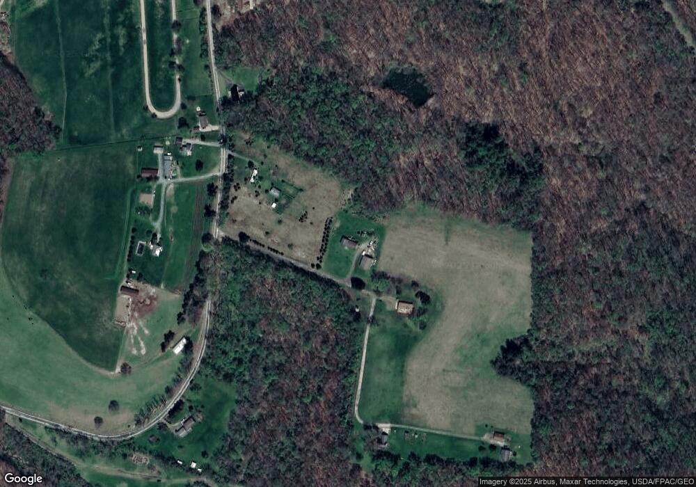
Map
Nearby Homes
- 139 Kit Dr
- 316 Noll Rd
- 153 Lowes
- 0 Hardin Run Rd
- 000 Florence Rd
- 298 Chapman Rd
- 2463 Frankfort Rd
- 139 Hardins Run Rd
- 4878 Wylie Ridge Rd
- 2341 Hardins Run Rd
- 93 Canfield Dr
- 98 Whispering Pines Ln
- 354 Frankfort Springs Rd
- TBD Anderson Ln
- 0 Holberts Run Rd
- TBD Bryden Rd
- 230 Bryden Rd
- 4711 Veterans Blvd
- 2224 Hudson Hill Rd
- TBD Orchard Rd