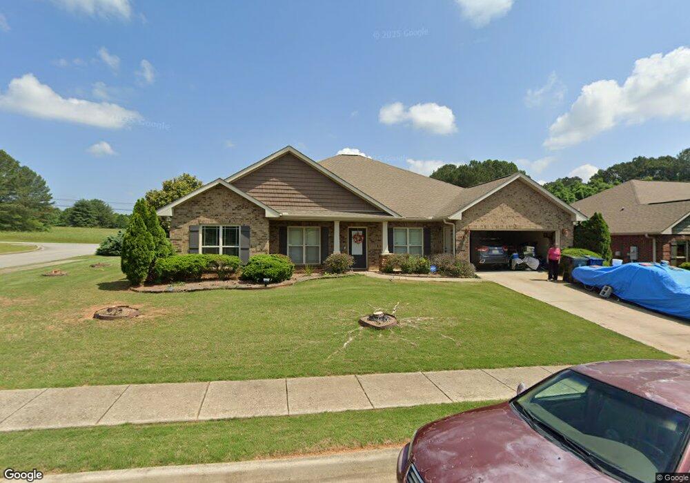
101 Legacy Pointe Cir Huntsville, AL 35806
Monrovia NeighborhoodEstimated Value: $416,000 - $480,000
4
Beds
3
Baths
3,009
Sq Ft
$151/Sq Ft
Est. Value
About This Home
This home is located at 101 Legacy Pointe Cir, Huntsville, AL 35806 and is currently estimated at $452,920, approximately $150 per square foot. 101 Legacy Pointe Cir is a home located in Madison County with nearby schools including Legacy Elementary School, Monrovia Middle School, and Sparkman High School.
Ownership History
Date
Name
Owned For
Owner Type
Purchase Details
Closed on
Apr 4, 2011
Sold by
Breland Homes Llc
Bought by
Jones Richard and Jones Myrna D
Current Estimated Value
Home Financials for this Owner
Home Financials are based on the most recent Mortgage that was taken out on this home.
Original Mortgage
$226,150
Outstanding Balance
$155,658
Interest Rate
4.75%
Mortgage Type
FHA
Estimated Equity
$297,262
Purchase Details
Closed on
Jul 14, 2009
Sold by
Strong Dale and Strong Horace N
Bought by
Strong & Strong Llc
Create a Home Valuation Report for This Property
The Home Valuation Report is an in-depth analysis detailing your home's value as well as a comparison with similar homes in the area
Home Values in the Area
Average Home Value in this Area
Purchase History
| Date | Buyer | Sale Price | Title Company |
|---|---|---|---|
| Jones Richard | -- | -- | |
| Strong & Strong Llc | -- | -- |
Source: Public Records
Mortgage History
| Date | Status | Borrower | Loan Amount |
|---|---|---|---|
| Open | Jones Richard | $226,150 |
Source: Public Records
Tax History Compared to Growth
Tax History
| Year | Tax Paid | Tax Assessment Tax Assessment Total Assessment is a certain percentage of the fair market value that is determined by local assessors to be the total taxable value of land and additions on the property. | Land | Improvement |
|---|---|---|---|---|
| 2024 | $1,235 | $41,100 | $5,000 | $36,100 |
| 2023 | $1,196 | $39,800 | $5,000 | $34,800 |
| 2022 | $1,036 | $35,760 | $5,000 | $30,760 |
| 2021 | $971 | $33,600 | $5,000 | $28,600 |
| 2020 | $913 | $31,660 | $5,000 | $26,660 |
| 2019 | $877 | $30,460 | $5,000 | $25,460 |
| 2018 | $817 | $28,480 | $0 | $0 |
| 2017 | $817 | $28,480 | $0 | $0 |
| 2016 | $817 | $28,480 | $0 | $0 |
| 2015 | $817 | $28,480 | $0 | $0 |
| 2014 | $853 | $29,680 | $0 | $0 |
Source: Public Records
Map
Nearby Homes
- 195 Sarah Jane Dr
- 200 Sarah Jane Dr
- 116 Cove Pointe Way
- 110 Danika Dr NW
- 124 Kinsale Dr
- 223 Wainscott Dr
- 123 Forest Ridge Dr
- 146 Forest Ridge Dr
- 110 Summitridge Rd
- 108 Conifer Ct
- 150 Blue Spruce Dr
- 253 Pumprock Dr
- 100 Crystal Brook Ln
- 116 Wedgewood Terrace Rd
- 114 Pettus Rd
- 109 Sarah Jane Dr
- 1861 Jeff Rd NW
- 104 Raymon Cir
- 482 Mount Zion Rd
- 101 Windsong Ct
- 1112 Legacy Trace Dr
- 1113 Legacy Trace Dr
- 1111 Legacy Trace Dr
- 103 Legacy Pointe Cir
- 33420 Legacy Trace Dr
- 31380 Legacy Trace Dr
- 3138 Legacy Trace Dr
- 3342 Legacy Trace Dr
- 3431 Legacy Trace Dr
- 3119 Legacy Trace Dr
- 2789 Legacy Trace Dr
- 2423 Legacy Trace Dr
- 2759 Legacy Trace Dr
- 1124 Legacy Trace Dr
- 1123 Legacy Trace Dr
- 1114 Legacy Trace Dr
- 1117 Legacy Trace Dr
- 1120 Legacy Trace Dr
- 100 Legacy Trace Dr
- 102 Legacy Trace Dr