101 Logan Ln Murphy, NC 28906
Estimated Value: $285,000 - $328,000
2
Beds
2
Baths
1,248
Sq Ft
$244/Sq Ft
Est. Value
About This Home
This home is located at 101 Logan Ln, Murphy, NC 28906 and is currently estimated at $304,210, approximately $243 per square foot. 101 Logan Ln is a home located in Cherokee County with nearby schools including Ranger Elementary/Middle School and Hiwassee Dam High School.
Ownership History
Date
Name
Owned For
Owner Type
Purchase Details
Closed on
Mar 18, 2010
Sold by
Mccord Joseph C and Mccord Wanda L
Bought by
Walsh Judy J
Current Estimated Value
Home Financials for this Owner
Home Financials are based on the most recent Mortgage that was taken out on this home.
Original Mortgage
$131,200
Outstanding Balance
$86,652
Interest Rate
4.91%
Mortgage Type
New Conventional
Estimated Equity
$217,558
Purchase Details
Closed on
Jul 6, 2005
Sold by
Durrance Wayne D and Durrance Teresa D
Bought by
Mccord Joseph C and Mccord Wanda L
Home Financials for this Owner
Home Financials are based on the most recent Mortgage that was taken out on this home.
Original Mortgage
$125,200
Interest Rate
5.46%
Mortgage Type
New Conventional
Create a Home Valuation Report for This Property
The Home Valuation Report is an in-depth analysis detailing your home's value as well as a comparison with similar homes in the area
Home Values in the Area
Average Home Value in this Area
Purchase History
| Date | Buyer | Sale Price | Title Company |
|---|---|---|---|
| Walsh Judy J | $164,000 | -- | |
| Mccord Joseph C | $156,500 | -- |
Source: Public Records
Mortgage History
| Date | Status | Borrower | Loan Amount |
|---|---|---|---|
| Open | Walsh Judy J | $131,200 | |
| Previous Owner | Mccord Joseph C | $125,200 |
Source: Public Records
Tax History
| Year | Tax Paid | Tax Assessment Tax Assessment Total Assessment is a certain percentage of the fair market value that is determined by local assessors to be the total taxable value of land and additions on the property. | Land | Improvement |
|---|---|---|---|---|
| 2025 | $1,025 | $143,110 | $0 | $0 |
| 2024 | $10 | $143,110 | $0 | $0 |
| 2023 | $1,015 | $143,110 | $0 | $0 |
| 2022 | $1,015 | $143,110 | $0 | $0 |
| 2021 | $858 | $143,110 | $12,000 | $131,110 |
| 2020 | $801 | $143,110 | $0 | $0 |
| 2019 | $667 | $103,340 | $0 | $0 |
Source: Public Records
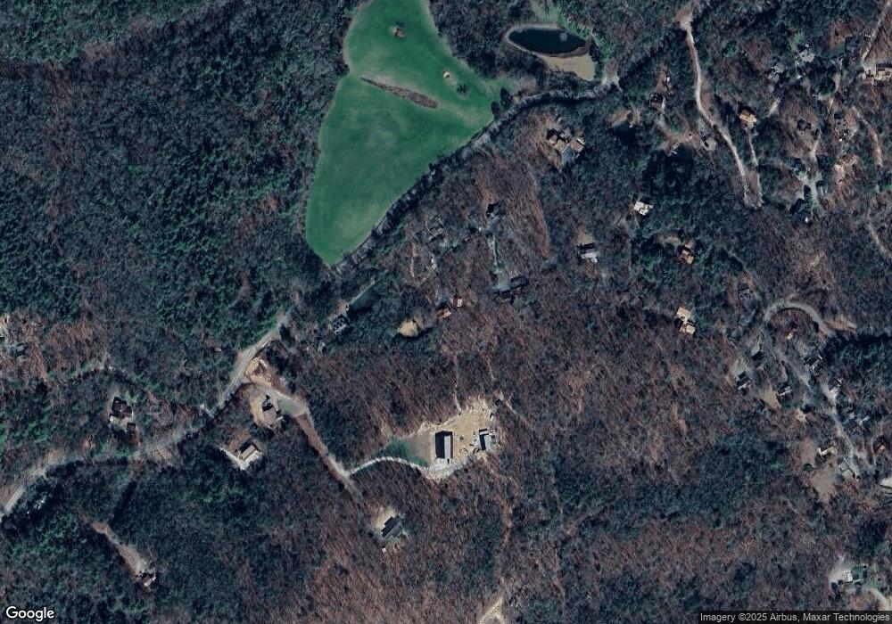
Map
Nearby Homes
- 300 Sandy Gap Rd
- 90 Sandy Gap Rd
- 473 Oakgrove Rd
- 9.10 Oakgrove Rd
- 00 Antler Ln
- 26/27 Bear Ridge Trail
- 54 Hawthorne Ln
- 180 Hawthorne Ln
- 919 Panther Top Rd
- 130 Meadowlark Terrace
- 259 Degatide Dr
- 225 Hickory Woods Trail
- 56 Waxwing Trail
- 557 Goldfinch Ln
- 0 Shuler Mountain Rd
- 00 Shuler Mountain Rd
- Lot 26A Amandas Way
- 170 Fern Ridge Trail
- 261 Shuler Mountain Rd
- 40 Field Stone Trail
- 49 Logan Ln
- 68 Logan Ln
- 480 Sandy Gap Rd
- 52 Logan Ln
- 145 Houston Way
- 43 Houston Way
- 30 Racing Deer Dr
- 30 Racing Deer Dr
- 110 Racing Deer Dr
- 177 Houston Way
- 262 Houston Way
- 405 Sandy Gap Rd
- 8 Appalacia Cove
- 6 Appalachia Cove
- 10 Appalachia Cove
- 350 Sandy Gap Rd
- 250 Houston Way
- 9 Appalachia Cove
- 11 Appalachia Cove
- Lot 9 Appalachain Estates Rd
Your Personal Tour Guide
Ask me questions while you tour the home.