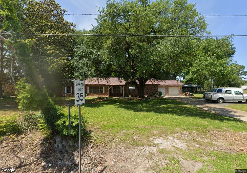
101 Lsu E Dr Eunice, LA 70535
Estimated Value: $171,296 - $207,000
Studio
2
Baths
2,600
Sq Ft
$76/Sq Ft
Est. Value
About This Home
This home is located at 101 Lsu E Dr, Eunice, LA 70535 and is currently estimated at $196,324, approximately $75 per square foot. 101 Lsu E Dr is a home located in St. Landry Parish with nearby schools including Eunice Elementary School, Eunice Junior High School, and Central Middle School.
Ownership History
Date
Name
Owned For
Owner Type
Purchase Details
Closed on
Jun 27, 2022
Sold by
Jtj Transport Llc
Bought by
Cooper-Hicks Kiara
Current Estimated Value
Home Financials for this Owner
Home Financials are based on the most recent Mortgage that was taken out on this home.
Original Mortgage
$169,500
Outstanding Balance
$161,481
Interest Rate
5.25%
Mortgage Type
New Conventional
Estimated Equity
$34,843
Purchase Details
Closed on
Jul 27, 2021
Sold by
Wilkins-Byars Gloria and Gournay Paula A
Bought by
Jtj Transport Llc
Create a Home Valuation Report for This Property
The Home Valuation Report is an in-depth analysis detailing your home's value as well as a comparison with similar homes in the area
Purchase History
| Date | Buyer | Sale Price | Title Company |
|---|---|---|---|
| Cooper-Hicks Kiara | -- | None Listed On Document | |
| Jtj Transport Llc | -- | None Available |
Source: Public Records
Mortgage History
| Date | Status | Borrower | Loan Amount |
|---|---|---|---|
| Open | Cooper-Hicks Kiara | $169,500 |
Source: Public Records
Tax History
| Year | Tax Paid | Tax Assessment Tax Assessment Total Assessment is a certain percentage of the fair market value that is determined by local assessors to be the total taxable value of land and additions on the property. | Land | Improvement |
|---|---|---|---|---|
| 2024 | $679 | $15,750 | $2,070 | $13,680 |
| 2023 | $715 | $15,750 | $2,070 | $13,680 |
| 2022 | $715 | $15,750 | $2,070 | $13,680 |
| 2021 | $715 | $16,430 | $2,070 | $14,360 |
| 2020 | $665 | $15,480 | $2,070 | $13,410 |
| 2019 | $357 | $8,200 | $1,730 | $6,470 |
| 2018 | $357 | $8,200 | $1,730 | $6,470 |
| 2017 | $385 | $8,840 | $1,730 | $7,110 |
| 2015 | $382 | $8,840 | $1,730 | $7,110 |
| 2013 | $383 | $8,840 | $1,730 | $7,110 |
Source: Public Records
Map
Nearby Homes
- 1410 W Elm St
- 1230 Phillip Ave
- 1480 W Oak Ave
- 701 Lsu- East Dr
- 1311 Bruce Ave
- 1240 B and B Ave
- 1350 College Rd
- 200 Thayer Ave
- 0 W Maple Ave
- 221 College Rd
- 1820 Betty St
- 104 Hunter St
- 151 Dulles St
- 201 S 9th St
- 231 Eula St
- 1701 W Peach Ave
- 1440 W Peach Ave
- 1750 W Peach Ave
- 121 N 9th St
- 99 University Place
- 1500 W Maple Ave
- 111 Lsu- Dr E
- 100 Harold St
- 111 Lsu E Dr
- 1371 W Maple Ave
- 113 Lsu E Dr
- 110 Harold St
- 1370 Phillip Ave
- 210 Stephanie Ave
- 1361 W Maple Ave
- 1360 Phillip Ave
- 0 Louisiana 91
- 1371 Phillip Ave
- 230 Stephanie Ave
- 1350 Phillip Ave
- 121 Harold St
- 1341 W Maple Ave
- 1361 Phillip Ave
- 750 Viola St
- 1351 Phillip Ave
Your Personal Tour Guide
Ask me questions while you tour the home.