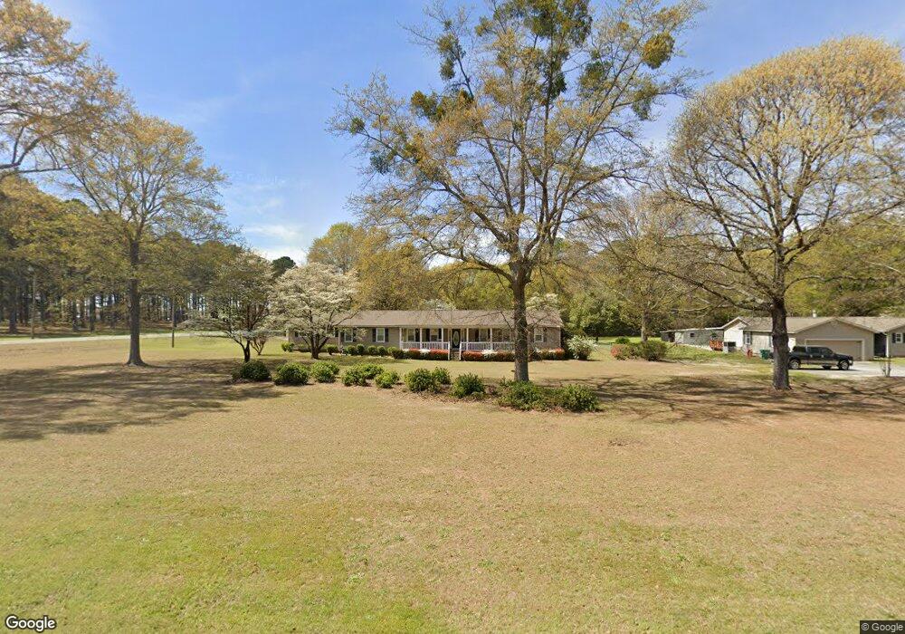
101 Mack Ln Warner Robins, GA 31088
Estimated Value: $250,964 - $290,000
Studio
2
Baths
2,063
Sq Ft
$131/Sq Ft
Est. Value
About This Home
This home is located at 101 Mack Ln, Warner Robins, GA 31088 and is currently estimated at $269,741, approximately $130 per square foot. 101 Mack Ln is a home located in Houston County with nearby schools including Quail Run Elementary School, Thomson Middle School, and Northside High School.
Ownership History
Date
Name
Owned For
Owner Type
Purchase Details
Closed on
Oct 28, 1993
Sold by
Luper Thomas H Estate
Bought by
Luper Linda M
Current Estimated Value
Purchase Details
Closed on
Mar 16, 1978
Sold by
Brooks Roger S and Brooks Nancy E
Bought by
Luper Thomas H and Luper Linda
Purchase Details
Closed on
Apr 19, 1976
Sold by
Frank W Elmore Construction Co
Bought by
Brooks Roger S and Brooks Nancy E
Create a Home Valuation Report for This Property
The Home Valuation Report is an in-depth analysis detailing your home's value as well as a comparison with similar homes in the area
Home Values in the Area
Average Home Value in this Area
Purchase History
| Date | Buyer | Sale Price | Title Company |
|---|---|---|---|
| Luper Linda M | -- | -- | |
| Luper Thomas H | -- | -- | |
| Brooks Roger S | -- | -- |
Source: Public Records
Tax History
| Year | Tax Paid | Tax Assessment Tax Assessment Total Assessment is a certain percentage of the fair market value that is determined by local assessors to be the total taxable value of land and additions on the property. | Land | Improvement |
|---|---|---|---|---|
| 2024 | $1,608 | $76,320 | $12,000 | $64,320 |
| 2023 | $1,337 | $64,400 | $12,000 | $52,400 |
| 2022 | $1,181 | $57,960 | $11,200 | $46,760 |
| 2021 | $971 | $49,040 | $11,200 | $37,840 |
| 2020 | $974 | $49,000 | $11,200 | $37,800 |
| 2019 | $974 | $49,000 | $11,200 | $37,800 |
| 2018 | $966 | $48,680 | $11,200 | $37,480 |
| 2017 | $967 | $48,680 | $11,200 | $37,480 |
| 2016 | $969 | $48,680 | $11,200 | $37,480 |
| 2015 | $968 | $48,640 | $11,200 | $37,440 |
| 2014 | -- | $48,640 | $11,200 | $37,440 |
| 2013 | -- | $48,640 | $11,200 | $37,440 |
Source: Public Records
Map
Nearby Homes
- 103 Emberly Ln
- 116 Joy Dr
- 101 Joy Dr
- 122 Emberly Ln
- 234 Sedgebrooke Dr
- 302 Estates Way
- 108 Havelock Cir
- 102 Smoke Rise Dr
- 109 Erin Lee Ct
- 209 Buckhead Forest Dr
- 211 Buckhead Forest Dr
- 305 Empire Trail
- 112 Scotsburg Dr
- 114 Wavertree Dr
- 122 Wavertree Dr
- 204 Falkirk Dr
- 312 Davids Place Dr
- 310 Davids Place Dr
- GRANBY Plan at David's Place
- GARDNER Plan at David's Place
Your Personal Tour Guide
Ask me questions while you tour the home.