Estimated Value: $250,599
Studio
--
Bath
3,600
Sq Ft
$70/Sq Ft
Est. Value
About This Home
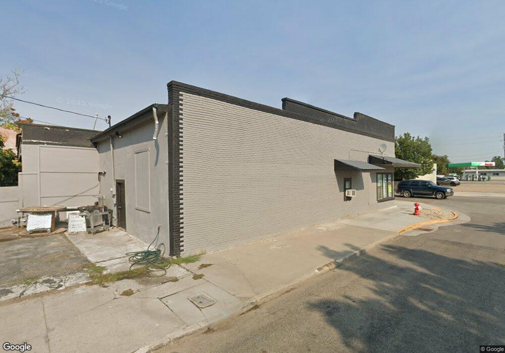
This home is located at 101 Main St, Nyssa, OR 97913 and is currently estimated at $250,599, approximately $69 per square foot. 101 Main St is a home located in Malheur County with nearby schools including Nyssa Elementary School, Nyssa Middle School, and Nyssa High School.
Ownership History
Date
Name
Owned For
Owner Type
Purchase Details
Closed on
Mar 24, 2023
Sold by
Campuzano Soto Jose M
Bought by
Valdez Ortiz Fabiola and Ortiz Ceja Jorge
Current Estimated Value
Purchase Details
Closed on
Nov 24, 2020
Sold by
Sanchez Sebastian
Bought by
Soto Jose M Campuzano
Home Financials for this Owner
Home Financials are based on the most recent Mortgage that was taken out on this home.
Original Mortgage
$30,000
Interest Rate
2.8%
Mortgage Type
New Conventional
Create a Home Valuation Report for This Property
The Home Valuation Report is an in-depth analysis detailing your home's value as well as a comparison with similar homes in the area
Home Values in the Area
Average Home Value in this Area
Purchase History
| Date | Buyer | Sale Price | Title Company |
|---|---|---|---|
| Valdez Ortiz Fabiola | $240,000 | Pioneer Title | |
| Soto Jose M Campuzano | $35,000 | Malheur County Title Company |
Source: Public Records
Mortgage History
| Date | Status | Borrower | Loan Amount |
|---|---|---|---|
| Previous Owner | Soto Jose M Campuzano | $30,000 |
Source: Public Records
Tax History
| Year | Tax Paid | Tax Assessment Tax Assessment Total Assessment is a certain percentage of the fair market value that is determined by local assessors to be the total taxable value of land and additions on the property. | Land | Improvement |
|---|---|---|---|---|
| 2025 | $1,773 | $100,946 | $4,908 | $96,038 |
| 2024 | $1,729 | $98,006 | $4,991 | $93,015 |
| 2023 | $1,684 | $95,152 | $5,437 | $89,715 |
| 2022 | $1,646 | $92,381 | $5,279 | $87,102 |
| 2021 | $1,603 | $89,691 | $7,796 | $81,895 |
| 2020 | $1,561 | $87,079 | $7,569 | $79,510 |
| 2019 | $1,521 | $84,543 | $7,348 | $77,195 |
| 2018 | $1,474 | $82,081 | $7,134 | $74,947 |
| 2017 | $1,423 | $79,691 | $6,289 | $73,402 |
| 2016 | $1,391 | $77,370 | $6,106 | $71,264 |
| 2015 | $1,233 | $75,117 | $4,012 | $71,105 |
| 2014 | $1,180 | $69,240 | $3,920 | $65,320 |
Source: Public Records
Map
Nearby Homes
- 106 E Main St
- 110 E Main St
- 108 E Main St
- 112 E Main St
- 416 N 2nd St
- 539 N 2nd St
- 617 Park Ave
- 813 Reece Ave
- 705 N 2nd St
- 717 N 3rd St
- 824 N 5th St
- lot2 plat 2411 Oregon 201
- 904 Oak St Unit 44
- 1770 N 3rd St
- TBD Sunset View Road (Lot 5)
- 28750 Rocky Rd
- 28650 Rocky Rd
- TBD Ada Ln
- 0 Leigh Ln
- 1203 Locker Ave
- 109 Main St
- 17 S 1st St
- 106 Main St
- 127 Main St
- 125 Main St Unit 127 & 129
- 118 Main St
- 27 Main St
- 129 Main St
- TBD N 7rh St
- 101 Good Ave
- 202 Main St
- 204 Main St
- 204 Good Ave
- 112 Reece Ave
- TBD Columbia Ave
- TBD Cowhollow Rd
- Map #1947C Tax Lot 1400 Long Dr
- 17 N 2nd St
- 17 N 2nd St Unit 7601 and 7700
- 112 Bower Ave
Your Personal Tour Guide
Ask me questions while you tour the home.