Estimated Value: $339,723 - $549,000
2
Beds
1
Bath
1,416
Sq Ft
$318/Sq Ft
Est. Value
About This Home
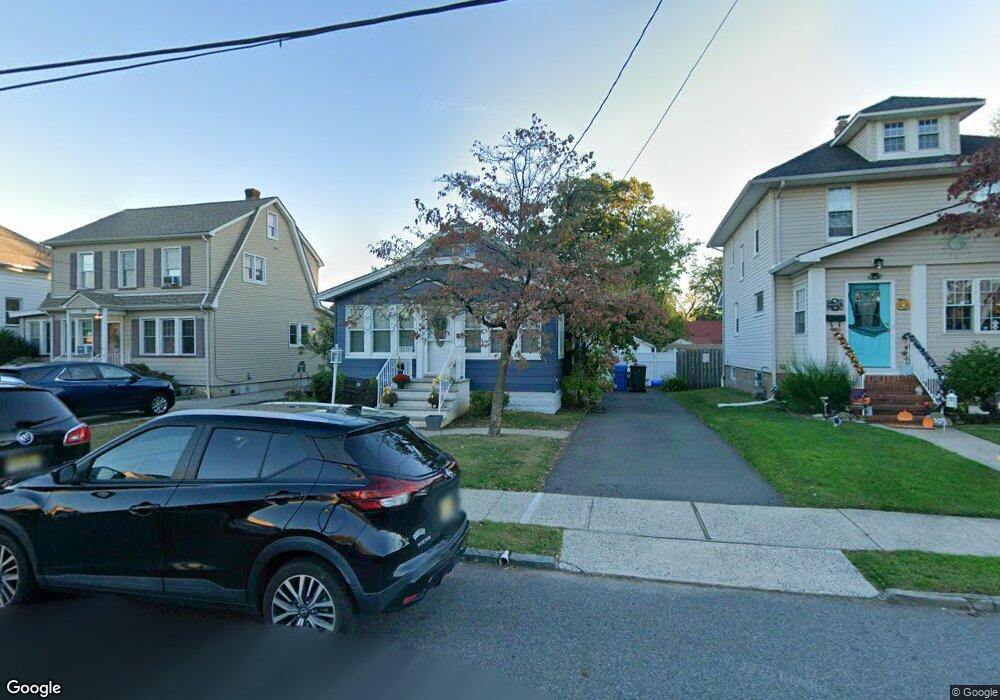
This home is located at 101 Maxwell Ave, Fords, NJ 08863 and is currently estimated at $449,681, approximately $317 per square foot. 101 Maxwell Ave is a home located in Middlesex County with nearby schools including Menlo Park Terrace School, Fords Middle School, and Woodbridge High School.
Ownership History
Date
Name
Owned For
Owner Type
Purchase Details
Closed on
Oct 14, 2006
Sold by
Uveges Ken
Bought by
Shaughnessy Shaun and Shaughnessy Jill
Current Estimated Value
Home Financials for this Owner
Home Financials are based on the most recent Mortgage that was taken out on this home.
Original Mortgage
$290,000
Interest Rate
6.4%
Purchase Details
Closed on
Aug 29, 2005
Sold by
Steguveit Claire
Bought by
Uvegges Kenneth and Uvegges Christine
Create a Home Valuation Report for This Property
The Home Valuation Report is an in-depth analysis detailing your home's value as well as a comparison with similar homes in the area
Home Values in the Area
Average Home Value in this Area
Purchase History
| Date | Buyer | Sale Price | Title Company |
|---|---|---|---|
| Shaughnessy Shaun | $290,000 | -- | |
| Uvegges Kenneth | $215,000 | -- |
Source: Public Records
Mortgage History
| Date | Status | Borrower | Loan Amount |
|---|---|---|---|
| Previous Owner | Shaughnessy Shaun | $290,000 |
Source: Public Records
Tax History Compared to Growth
Tax History
| Year | Tax Paid | Tax Assessment Tax Assessment Total Assessment is a certain percentage of the fair market value that is determined by local assessors to be the total taxable value of land and additions on the property. | Land | Improvement |
|---|---|---|---|---|
| 2025 | $7,273 | $57,600 | $23,200 | $34,400 |
| 2024 | $7,061 | $57,600 | $23,200 | $34,400 |
| 2023 | $7,061 | $57,600 | $23,200 | $34,400 |
| 2022 | $6,871 | $57,600 | $23,200 | $34,400 |
| 2021 | $6,800 | $57,600 | $23,200 | $34,400 |
| 2020 | $6,579 | $57,600 | $23,200 | $34,400 |
| 2019 | $6,410 | $57,600 | $23,200 | $34,400 |
| 2018 | $6,283 | $57,600 | $23,200 | $34,400 |
| 2017 | $6,172 | $57,600 | $23,200 | $34,400 |
| 2016 | $6,122 | $57,600 | $23,200 | $34,400 |
| 2015 | $6,003 | $57,600 | $23,200 | $34,400 |
| 2014 | $5,872 | $57,600 | $23,200 | $34,400 |
Source: Public Records
Map
Nearby Homes
- 109 Maxwell Ave
- 99 Maxwell Ave
- 111 Maxwell Ave
- 97 Maxwell Ave
- 112 Hamilton Ave Unit First Floor
- 112 Hamilton Ave
- 116 Hamilton Ave
- 102 Hamilton Ave
- 104 Maxwell Ave
- 115 Maxwell Ave
- 48 Egan Ave
- 100 Hamilton Ave
- 44 Egan Ave
- 100 Maxwell Ave
- 778 King George Rd
- 53 Hoy Ave
- 89 Maxwell Ave
- 47 Hoy Ave
- 0 Liquor License Unit 614319
- 0 Liquor License Unit 607189