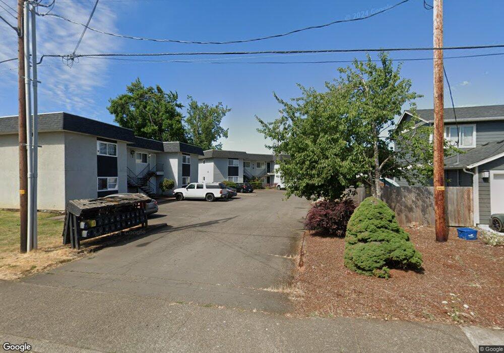
101 N 10th St Unit 9 Creswell, OR 97426
Estimated Value: $503,000 - $580,000
8
Beds
4
Baths
3,080
Sq Ft
$175/Sq Ft
Est. Value
About This Home
This home is located at 101 N 10th St Unit 9, Creswell, OR 97426 and is currently estimated at $537,712, approximately $174 per square foot. 101 N 10th St Unit 9 is a home located in Lane County with nearby schools including Creslane Elementary School, Creswell Middle School, and Creswell High School.
Ownership History
Date
Name
Owned For
Owner Type
Purchase Details
Closed on
Jul 7, 2011
Sold by
Miller Jennifer
Bought by
Fox Jay A
Current Estimated Value
Home Financials for this Owner
Home Financials are based on the most recent Mortgage that was taken out on this home.
Original Mortgage
$159,977
Outstanding Balance
$109,419
Interest Rate
4.54%
Mortgage Type
New Conventional
Estimated Equity
$428,293
Purchase Details
Closed on
Jan 27, 2006
Sold by
Burr Larry
Bought by
Miller Jennifer
Home Financials for this Owner
Home Financials are based on the most recent Mortgage that was taken out on this home.
Original Mortgage
$194,925
Interest Rate
8.1%
Mortgage Type
Purchase Money Mortgage
Purchase Details
Closed on
Oct 27, 2005
Sold by
Lesh Terry V and Lesh Patricia C
Bought by
Burr Larry
Home Financials for this Owner
Home Financials are based on the most recent Mortgage that was taken out on this home.
Original Mortgage
$162,400
Interest Rate
2.5%
Mortgage Type
Fannie Mae Freddie Mac
Create a Home Valuation Report for This Property
The Home Valuation Report is an in-depth analysis detailing your home's value as well as a comparison with similar homes in the area
Home Values in the Area
Average Home Value in this Area
Purchase History
| Date | Buyer | Sale Price | Title Company |
|---|---|---|---|
| Fox Jay A | $213,303 | Cascade Title Company | |
| Miller Jennifer | $259,900 | Cascade Title Co | |
| Burr Larry | $203,000 | Cascade Title Co |
Source: Public Records
Mortgage History
| Date | Status | Borrower | Loan Amount |
|---|---|---|---|
| Open | Fox Jay A | $159,977 | |
| Previous Owner | Miller Jennifer | $194,925 | |
| Previous Owner | Burr Larry | $162,400 |
Source: Public Records
Tax History
| Year | Tax Paid | Tax Assessment Tax Assessment Total Assessment is a certain percentage of the fair market value that is determined by local assessors to be the total taxable value of land and additions on the property. | Land | Improvement |
|---|---|---|---|---|
| 2025 | $3,739 | $227,843 | -- | -- |
| 2024 | $2,797 | $221,207 | -- | -- |
| 2023 | $2,797 | $214,765 | $0 | $0 |
| 2022 | $3,013 | $208,510 | $0 | $0 |
| 2021 | $2,910 | $202,437 | $0 | $0 |
| 2020 | $2,870 | $196,541 | $0 | $0 |
| 2019 | $2,806 | $190,817 | $0 | $0 |
| 2018 | $2,767 | $179,864 | $0 | $0 |
| 2017 | $2,684 | $179,864 | $0 | $0 |
| 2016 | $2,749 | $174,625 | $0 | $0 |
| 2015 | $2,650 | $169,539 | $0 | $0 |
| 2014 | $2,628 | $164,601 | $0 | $0 |
Source: Public Records
Map
Nearby Homes
- 1137 Ash Grove Loop
- 958 Bush Ln
- 961 Bush Ln
- 460 Meadow Ln
- 272 S 7th St
- 524 N 5th St
- 632 N 5th St
- 630 S 10th St
- 805 Queens Ave
- 156 N 1st St
- 689 Blue Jay Loop
- 109 Robin Ct
- 276 Art Lott Ln
- 28 Sandalwood Loop
- 41 Sandalwood Loop
- 83354 N Pacific Hwy
- 700 N Mill St Unit 112
- 700 N Mill St Unit 1
- 700 N Mill St Unit 21
- 700 N Mill St Unit 107
- 101 N 10th St Unit 5
- 101 N 10th St Unit 13
- 101 N 10th St Unit 17
- 101 N 10th St
- 101 N 10th Units 9-12 St Unit 9-12
- 95 N 10th St
- 1039 Ash Grove Loop
- 1047 Ash Grove Loop
- 103 N 10th St
- 97 N 10th St
- 99 N 10th St
- 1033 Ash Grove Loop
- 1055 Ash Grove Loop
- 1025 Ash Grove Loop
- 87 N 10th St
- 81 N 10th St
- 1063 Ash Grove Loop
- 1019 Ash Grove Loop
- 98 N 10th St
- 104 N 10th St
Your Personal Tour Guide
Ask me questions while you tour the home.