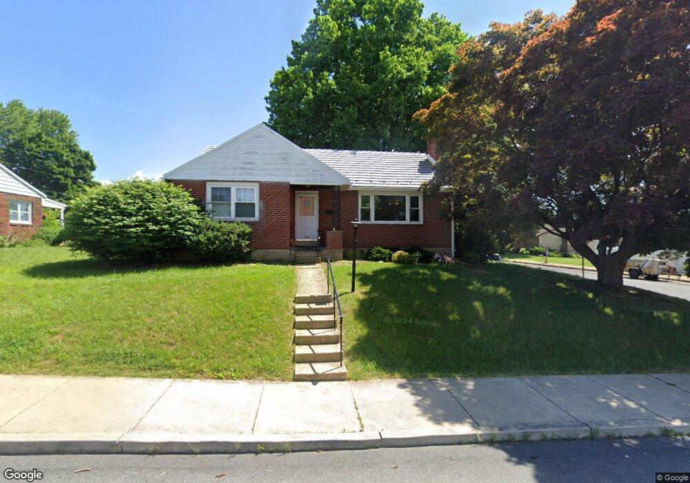
101 N 9th St Unit 105 Emmaus, PA 18049
Estimated Value: $274,000 - $377,000
3
Beds
2
Baths
1,414
Sq Ft
$238/Sq Ft
Est. Value
About This Home
This home is located at 101 N 9th St Unit 105, Emmaus, PA 18049 and is currently estimated at $336,188, approximately $237 per square foot. 101 N 9th St Unit 105 is a home located in Lehigh County with nearby schools including Jefferson Elementary School, Lower Macungie Middle School, and Emmaus High School.
Ownership History
Date
Name
Owned For
Owner Type
Purchase Details
Closed on
May 21, 2012
Sold by
Ohara Cynthia
Bought by
Milnes Naomi M
Current Estimated Value
Home Financials for this Owner
Home Financials are based on the most recent Mortgage that was taken out on this home.
Original Mortgage
$136,000
Outstanding Balance
$94,139
Interest Rate
3.88%
Mortgage Type
New Conventional
Estimated Equity
$242,049
Purchase Details
Closed on
Jun 28, 1954
Bought by
Schlegel Wayne and Schlegel Gloria
Create a Home Valuation Report for This Property
The Home Valuation Report is an in-depth analysis detailing your home's value as well as a comparison with similar homes in the area
Home Values in the Area
Average Home Value in this Area
Purchase History
| Date | Buyer | Sale Price | Title Company |
|---|---|---|---|
| Milnes Naomi M | $170,000 | -- | |
| Schlegel Wayne | $1,300 | -- |
Source: Public Records
Mortgage History
| Date | Status | Borrower | Loan Amount |
|---|---|---|---|
| Open | Milnes Naomi M | $136,000 |
Source: Public Records
Tax History Compared to Growth
Tax History
| Year | Tax Paid | Tax Assessment Tax Assessment Total Assessment is a certain percentage of the fair market value that is determined by local assessors to be the total taxable value of land and additions on the property. | Land | Improvement |
|---|---|---|---|---|
| 2025 | $5,932 | $168,400 | $35,300 | $133,100 |
| 2024 | $5,434 | $168,400 | $35,300 | $133,100 |
| 2023 | $5,328 | $168,400 | $35,300 | $133,100 |
| 2022 | $5,152 | $168,400 | $133,100 | $35,300 |
| 2021 | $5,023 | $168,400 | $35,300 | $133,100 |
| 2020 | $4,980 | $168,400 | $35,300 | $133,100 |
| 2019 | $4,847 | $168,400 | $35,300 | $133,100 |
| 2018 | $4,664 | $168,400 | $35,300 | $133,100 |
| 2017 | $4,520 | $168,400 | $35,300 | $133,100 |
| 2016 | -- | $168,400 | $35,300 | $133,100 |
| 2015 | -- | $168,400 | $35,300 | $133,100 |
| 2014 | -- | $168,400 | $35,300 | $133,100 |
Source: Public Records
Map
Nearby Homes
- 657 Walnut St
- 659 Broad St
- 569 Chestnut St Unit 571
- 618 Broad St
- 543 Long St
- 4109 Eveningstar Rd
- 3430 Gentlewind Way Unit IC 109
- 339 Delong Ave Unit 343
- 4088 Eveningstar Rd
- 521 Wood St
- 120 N 2nd St
- 118 N 2nd St
- 3623 Daylily Dr
- 97 Chestnut Hill Rd
- 3810 Allen St
- 3186 Overlook Dr
- 101 E George St
- 3703 Samantha Ln Unit Lot 70
- 3736 Samantha Ln Unit Lot 7
- 3748 Samantha Ln
- 105 N 9th St
- 111 N 9th St
- 835 837 Walnut St
- 835 Walnut St Unit 837
- 25 N 9th St Unit 29
- 827 Walnut St Unit 831
- 814 Walnut St
- 812 Walnut St
- 104 N 9th St
- 108 N 9th St Unit 114
- 825 Walnut St
- 28 N 9th St
- 832 Ridge St Unit 838
- 808 Walnut St
- 20 N 9th St
- 20 N 9th St Unit 2
- 20 N 9th St Unit 4
- 20 N 9th St Unit 5
- 20 N 9th St Unit 1
- 20 N 9th St Unit 5