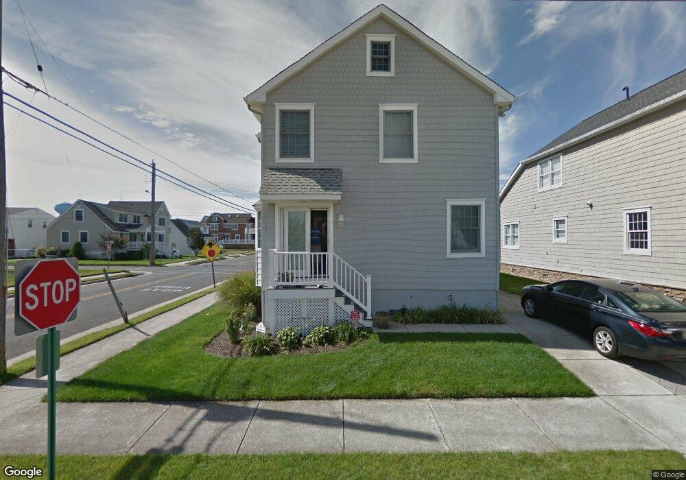
101 N Colgate Ave Longport, NJ 08403
Estimated Value: $1,034,000 - $1,939,000
--
Bed
--
Bath
2,568
Sq Ft
$635/Sq Ft
Est. Value
About This Home
This home is located at 101 N Colgate Ave, Longport, NJ 08403 and is currently estimated at $1,630,727, approximately $635 per square foot. 101 N Colgate Ave is a home located in Atlantic County with nearby schools including Blessed Sacrament Regional School and St. James Elementary School.
Ownership History
Date
Name
Owned For
Owner Type
Purchase Details
Closed on
Apr 15, 1998
Sold by
Dimemmo Regina
Bought by
Gallagher Daniel A and Gallagher Joan M
Current Estimated Value
Purchase Details
Closed on
Mar 13, 1992
Sold by
Dimemmo Regina
Bought by
Dimemmo Alfredo and Dimemmo Regina
Purchase Details
Closed on
Nov 29, 1991
Sold by
Dimemmo Alfredo
Bought by
Dimemmo Regina
Purchase Details
Closed on
Jan 17, 1989
Sold by
Selzer Ronalda and Selzer Marie A
Bought by
Dimemmo Alfred and Dimemmo Regina
Create a Home Valuation Report for This Property
The Home Valuation Report is an in-depth analysis detailing your home's value as well as a comparison with similar homes in the area
Home Values in the Area
Average Home Value in this Area
Purchase History
| Date | Buyer | Sale Price | Title Company |
|---|---|---|---|
| Gallagher Daniel A | $157,000 | The Title Company | |
| Dimemmo Alfredo | -- | -- | |
| Dimemmo Regina | -- | -- | |
| Dimemmo Alfred | $140,000 | -- |
Source: Public Records
Tax History Compared to Growth
Tax History
| Year | Tax Paid | Tax Assessment Tax Assessment Total Assessment is a certain percentage of the fair market value that is determined by local assessors to be the total taxable value of land and additions on the property. | Land | Improvement |
|---|---|---|---|---|
| 2025 | $8,382 | $747,100 | $421,000 | $326,100 |
| 2024 | $8,382 | $747,100 | $421,000 | $326,100 |
| 2023 | $7,568 | $747,100 | $421,000 | $326,100 |
| 2022 | $7,568 | $747,100 | $421,000 | $326,100 |
| 2021 | $7,269 | $747,100 | $421,000 | $326,100 |
| 2020 | $7,366 | $747,100 | $421,000 | $326,100 |
| 2019 | $7,351 | $747,100 | $421,000 | $326,100 |
| 2018 | $7,351 | $747,100 | $421,000 | $326,100 |
| 2017 | $7,202 | $747,100 | $421,000 | $326,100 |
| 2016 | $6,918 | $747,100 | $421,000 | $326,100 |
| 2015 | $6,773 | $746,700 | $421,000 | $325,700 |
| 2014 | $6,705 | $746,700 | $421,000 | $325,700 |
Source: Public Records
Map
Nearby Homes
- 212 N 33rd Ave
- 22 N Coolidge Ave
- 9801 Ventnor Ave Unit B-1
- 100 N Monroe #2 Ave
- 107 N Monroe Ave
- 9704 Ventnor Ave Unit D
- 12 N Madison Ave Unit C
- 24 N Evergreen Ave
- 206 N Madison Ave
- 119 N Madison #B Ave Unit B
- 119 N Madison Ave Unit A
- 111 N Madison Ave Unit 2
- 3216 Pacific Ave
- 7 S Monroe Ave
- 9600 Amherst Ave Unit 7
- 3008 Ventnor Ave
- 3301 Atlantic Ave
- 104 S Monroe Ave
- 32 N Manor Ave
- 9609 Pacific Ave Unit 5
- 108 N 34th Ave
- 104 N 34th Ave
- 102 N 34th Ave
- 24 N 34th Ave
- 100 N Colgate Ave
- 3401 Winchester Ave
- 106 N 34th Ave
- 102 N Colgate Ave
- 105 N 34th Ave
- 22 N 34th Ave
- 3306 Winchester Ave
- 106 N Colgate Ave
- 3400 Winchester Ave
- 3301 Winchester Ave
- 109 N 34th Ave
- 103 N 33rd Ave
- 100 N 35th Ave
- 110 N Colgate Ave
- 102 N 35th Ave
- 18 N 34th Ave