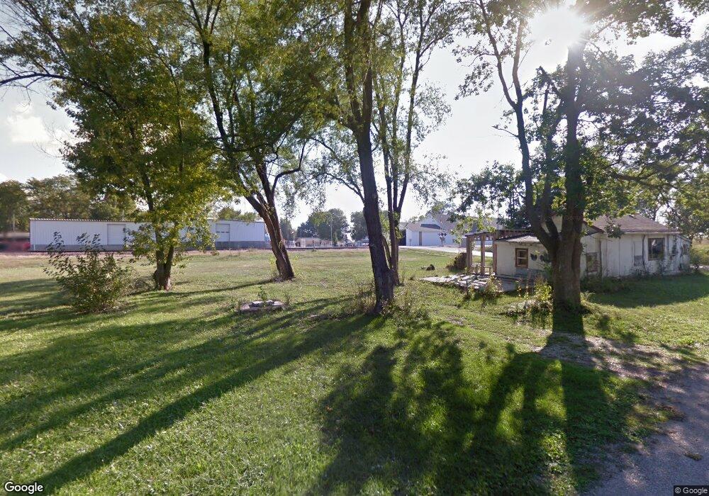
101 N Main St Centerview, MO 64019
Estimated Value: $161,000
Studio
--
Bath
--
Sq Ft
2,178
Sq Ft Lot
About This Home
This home is located at 101 N Main St, Centerview, MO 64019 and is currently priced at $161,000. 101 N Main St is a home located in Johnson County with nearby schools including Crest Ridge Elementary School, Crest Ridge High School, and Johnson County Christian Academy.
Ownership History
Date
Name
Owned For
Owner Type
Purchase Details
Closed on
Aug 4, 2023
Sold by
Calhoon Frank
Bought by
Burch William R
Current Estimated Value
Purchase Details
Closed on
Aug 27, 2019
Sold by
Welch John H and Dingus Linda F
Bought by
Calhoon Frank
Purchase Details
Closed on
Aug 30, 2008
Sold by
General Hall Inc
Bought by
Welsh John H and Dingus Linda F
Home Financials for this Owner
Home Financials are based on the most recent Mortgage that was taken out on this home.
Original Mortgage
$23,000
Interest Rate
6.66%
Mortgage Type
Unknown
Create a Home Valuation Report for This Property
The Home Valuation Report is an in-depth analysis detailing your home's value as well as a comparison with similar homes in the area
Purchase History
| Date | Buyer | Sale Price | Title Company |
|---|---|---|---|
| Burch William R | -- | None Listed On Document | |
| Calhoon Frank | $400 | None Available | |
| Welsh John H | -- | -- |
Source: Public Records
Mortgage History
| Date | Status | Borrower | Loan Amount |
|---|---|---|---|
| Previous Owner | Welsh John H | $23,000 |
Source: Public Records
Tax History
| Year | Tax Paid | Tax Assessment Tax Assessment Total Assessment is a certain percentage of the fair market value that is determined by local assessors to be the total taxable value of land and additions on the property. | Land | Improvement |
|---|---|---|---|---|
| 2025 | $21 | $285 | $0 | $0 |
| 2024 | $22 | $285 | $0 | $0 |
| 2023 | $22 | $285 | $0 | $0 |
| 2022 | $22 | $285 | $0 | $0 |
| 2021 | $22 | $285 | $0 | $0 |
| 2020 | $22 | $285 | $0 | $0 |
| 2019 | $22 | $285 | $0 | $0 |
| 2017 | $21 | $285 | $0 | $0 |
| 2016 | $21 | $285 | $0 | $0 |
| 2015 | $28 | $285 | $0 | $0 |
| 2014 | $28 | $380 | $0 | $0 |
Source: Public Records
Map
Nearby Homes
- 65 SW 150th Rd
- 66 SW 150th Rd
- 000 SW 100th Rd
- TBD Lot 7 491st Rd
- 0 Tbd Lot 2 491st Rd
- 26 SW 491st Rd
- 52 401st (North 65) Rd
- 64 SW 401st Rd
- 507 NW 165th Rd
- 457 State Route F
- 271 NW 75 Rd
- 786 NW 100th Rd
- 245 SW 400th Rd
- 412 NW 701st Rd
- 120 NW 191 Rd
- 125 NW 171 Rd
- 124 NW 171 Rd
- 734 Iron Horse Dr
- 70 Bb Hwy
- 705 Mahogany Ct
- 201 N Main St
- 37 NW 219 Rd
- 109 NW Depot St Unit W
- 109 NW Depot St Unit E
- 109 NW Depot St
- 202 N Main St
- 105 N Depot St W
- 105 N Depot N A
- 209 N Main St
- 206 N Main St
- 210 N Main St
- 209 S Main St
- 209 S Main St
- 201 S Main St
- 104 W South Depot St W
- 213 N Main St
- 106 S Depot St E
- 106 W South Depot St
- 200 S Main St
- 110 E Spring St
Your Personal Tour Guide
Ask me questions while you tour the home.