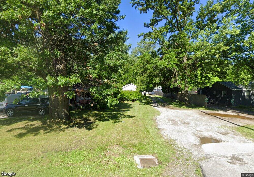
101 N Mccord Rd Toledo, OH 43615
Estimated Value: $116,000 - $149,000
3
Beds
1
Bath
940
Sq Ft
$144/Sq Ft
Est. Value
About This Home
This home is located at 101 N Mccord Rd, Toledo, OH 43615 and is currently estimated at $135,000, approximately $143 per square foot. 101 N Mccord Rd is a home located in Lucas County with nearby schools including Dorr Street Elementary School, Springfield Middle School, and Springfield High School.
Ownership History
Date
Name
Owned For
Owner Type
Purchase Details
Closed on
Aug 5, 2002
Sold by
Huby Mark J
Bought by
Mjh Properties Ltd
Current Estimated Value
Purchase Details
Closed on
Feb 28, 1995
Sold by
Hunt Patricia A
Bought by
Hubay Mark J
Create a Home Valuation Report for This Property
The Home Valuation Report is an in-depth analysis detailing your home's value as well as a comparison with similar homes in the area
Home Values in the Area
Average Home Value in this Area
Purchase History
| Date | Buyer | Sale Price | Title Company |
|---|---|---|---|
| Mjh Properties Ltd | -- | -- | |
| Hubay Mark J | $10,000 | -- |
Source: Public Records
Tax History Compared to Growth
Tax History
| Year | Tax Paid | Tax Assessment Tax Assessment Total Assessment is a certain percentage of the fair market value that is determined by local assessors to be the total taxable value of land and additions on the property. | Land | Improvement |
|---|---|---|---|---|
| 2024 | $1,277 | $40,950 | $12,565 | $28,385 |
| 2023 | $2,033 | $28,315 | $10,430 | $17,885 |
| 2022 | $2,028 | $28,315 | $10,430 | $17,885 |
| 2021 | $1,911 | $28,315 | $10,430 | $17,885 |
| 2020 | $1,765 | $23,660 | $8,400 | $15,260 |
| 2019 | $1,725 | $23,660 | $8,400 | $15,260 |
| 2018 | $1,582 | $23,660 | $8,400 | $15,260 |
| 2017 | $3,795 | $22,575 | $4,130 | $18,445 |
| 2016 | $4,824 | $64,500 | $11,800 | $52,700 |
| 2015 | $1,776 | $64,500 | $11,800 | $52,700 |
| 2014 | $2,180 | $21,710 | $3,960 | $17,750 |
| 2013 | $1,564 | $21,710 | $3,960 | $17,750 |
Source: Public Records
Map
Nearby Homes
- 617 & 621 S Mccord Rd
- 127 N Dorcas Rd
- 217 Pebble Beach Dr
- 6528 Hill Ave
- 343 S Mccord Rd
- 324 Harefoote St
- 226 Perrine St
- 427 S Mccord Rd
- 352 Cheswick St
- 508 Crystal Lake Dr
- 7238 Lilac Ct
- 7111 Nebraska Ave
- 134 Deerfield Dr
- 6324 Bapst Ave
- 7256 Apache Trail
- 640 Quigley St
- 312 Hayes Rd
- 6130 White Oak Dr
- 622 Butternut Ln
- 7331 Witherby Ct
- 105 N Mccord Rd
- 35 N Mccord Rd
- 111 N Mccord Rd
- 41 N Mccord Rd
- 25 N Mccord Rd
- 21 N Mccord Rd
- 118 N Mccord Rd
- 128 N Mccord Rd
- 151 N Mccord Rd
- 6752 Hancock Ave
- 6836 Hill Ave
- 136 N Mccord Rd
- 6850 Hill Ave
- 101 N Dorcas Rd
- 202 N Mccord Rd
- 111 N Dorcas Rd
- 113 N Dorcas Rd
- 148 N Dorcas Rd
- 210 N Mccord Rd
- 15 N Dorcas Rd