101 N Riding Dr Moorestown, NJ 08057
Estimated Value: $863,436 - $1,019,000
--
Bed
--
Bath
3,025
Sq Ft
$312/Sq Ft
Est. Value
About This Home
This home is located at 101 N Riding Dr, Moorestown, NJ 08057 and is currently estimated at $942,359, approximately $311 per square foot. 101 N Riding Dr is a home located in Burlington County with nearby schools including George C. Baker Elementary School, Moorestown Upper Elementary School, and William Allen Middle School.
Ownership History
Date
Name
Owned For
Owner Type
Purchase Details
Closed on
Apr 29, 2002
Sold by
Segal Robert J and Segal Barbara P
Bought by
Keiper Edward and Keiper Tillie
Current Estimated Value
Home Financials for this Owner
Home Financials are based on the most recent Mortgage that was taken out on this home.
Original Mortgage
$150,000
Outstanding Balance
$60,299
Interest Rate
6.25%
Estimated Equity
$882,060
Create a Home Valuation Report for This Property
The Home Valuation Report is an in-depth analysis detailing your home's value as well as a comparison with similar homes in the area
Home Values in the Area
Average Home Value in this Area
Purchase History
| Date | Buyer | Sale Price | Title Company |
|---|---|---|---|
| Keiper Edward | $390,000 | Homestead Title Agency |
Source: Public Records
Mortgage History
| Date | Status | Borrower | Loan Amount |
|---|---|---|---|
| Open | Keiper Edward | $150,000 |
Source: Public Records
Tax History Compared to Growth
Tax History
| Year | Tax Paid | Tax Assessment Tax Assessment Total Assessment is a certain percentage of the fair market value that is determined by local assessors to be the total taxable value of land and additions on the property. | Land | Improvement |
|---|---|---|---|---|
| 2025 | $15,402 | $542,900 | $206,400 | $336,500 |
| 2024 | $14,935 | $542,900 | $206,400 | $336,500 |
| 2023 | $14,935 | $542,900 | $206,400 | $336,500 |
| 2022 | $14,783 | $542,900 | $206,400 | $336,500 |
| 2021 | $14,588 | $542,900 | $206,400 | $336,500 |
| 2020 | $13,996 | $524,200 | $206,400 | $317,800 |
| 2019 | $13,750 | $524,200 | $206,400 | $317,800 |
| 2018 | $13,378 | $524,200 | $206,400 | $317,800 |
| 2017 | $13,493 | $524,200 | $206,400 | $317,800 |
| 2016 | $13,446 | $524,200 | $206,400 | $317,800 |
| 2015 | $13,283 | $524,200 | $206,400 | $317,800 |
| 2014 | $12,612 | $524,200 | $206,400 | $317,800 |
Source: Public Records
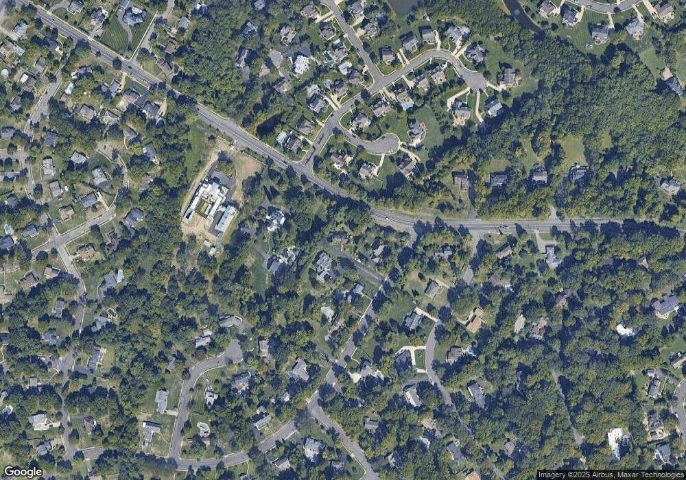
Map
Nearby Homes
- 2801 Riverton Rd
- 2611 Barton Ct
- 2807 Hunterdon Dr
- 2716 Branch Pike
- 62 Sussex Dr
- 310 Devon Rd
- 502 Pomona Rd
- 116 Wayne Dr
- 213 Wayne Dr
- 322 Boxwood Ln
- 831 Windsor Dr
- 2408 New Albany Rd
- 343 Tom Brown Rd
- 347 Tom Brown Rd
- 205 Crider Ave Unit 205
- 2209 New Albany Rd
- 142 Fox Chase Dr
- 2414 Church Rd
- 2204 New Albany Rd
- 543 Bethel Ave
- 99 N Riding Dr
- 103 N Riding Dr
- 105 N Riding Dr
- 4 Keenland Ct
- 1040 Riverton Rd
- 2 Keenland Ct
- 107 N Riding Dr
- 5 Robin Rd
- 9 Robin Rd
- 6 Keenland Ct
- 1 Robin Rd
- 109 N Riding Dr
- 1 Jersey Belle Dr
- 4 Jersey Belle Dr
- 9 Jersey Belle Dr
- 13 Robin Rd
- 3 Jersey Belle Dr
- 1041 Riverton Rd
- 8 Keenland Ct
- 213 Douglas Ct