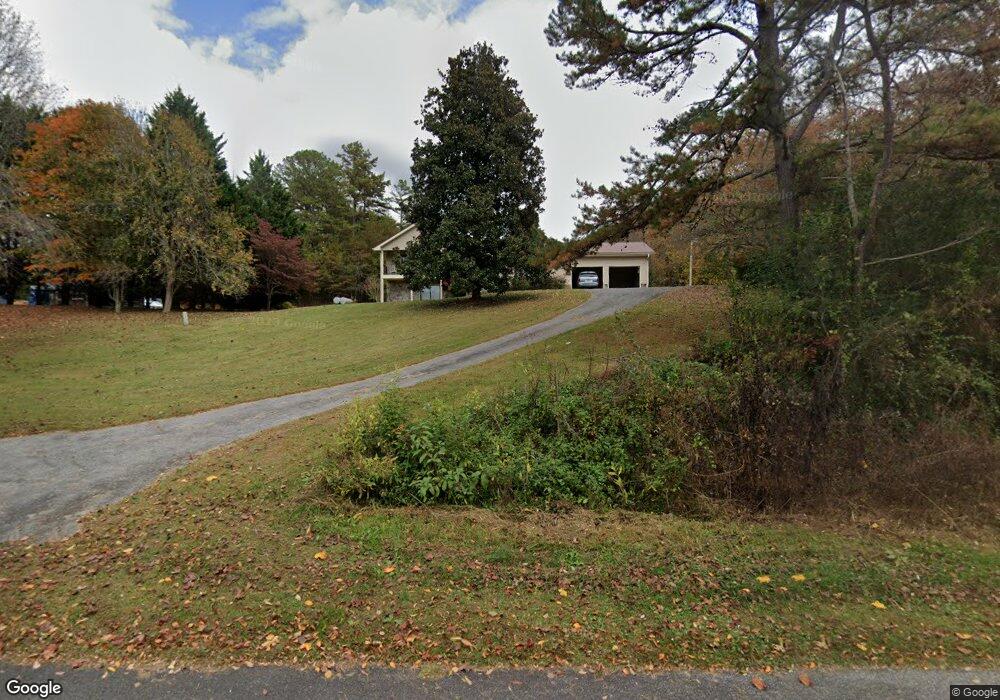
101 N River Rd Mineral Bluff, GA 30559
Estimated Value: $557,099 - $932,000
--
Bed
2
Baths
2,294
Sq Ft
$295/Sq Ft
Est. Value
About This Home
This home is located at 101 N River Rd, Mineral Bluff, GA 30559 and is currently estimated at $676,275, approximately $294 per square foot. 101 N River Rd is a home located in Fannin County with nearby schools including Fannin County High School and Fannin Christian Learning Center.
Ownership History
Date
Name
Owned For
Owner Type
Purchase Details
Closed on
Mar 11, 2022
Sold by
Henry Robert Alvin
Bought by
S & S Stone Yard Llc
Current Estimated Value
Home Financials for this Owner
Home Financials are based on the most recent Mortgage that was taken out on this home.
Original Mortgage
$800,000
Outstanding Balance
$641,864
Interest Rate
2.77%
Mortgage Type
New Conventional
Estimated Equity
$34,411
Purchase Details
Closed on
Nov 15, 1979
Bought by
Henry Robert A and Henry Tal
Create a Home Valuation Report for This Property
The Home Valuation Report is an in-depth analysis detailing your home's value as well as a comparison with similar homes in the area
Home Values in the Area
Average Home Value in this Area
Purchase History
| Date | Buyer | Sale Price | Title Company |
|---|---|---|---|
| S & S Stone Yard Llc | $950,000 | -- | |
| Henry Robert A | -- | -- |
Source: Public Records
Mortgage History
| Date | Status | Borrower | Loan Amount |
|---|---|---|---|
| Open | S & S Stone Yard Llc | $800,000 |
Source: Public Records
Tax History Compared to Growth
Tax History
| Year | Tax Paid | Tax Assessment Tax Assessment Total Assessment is a certain percentage of the fair market value that is determined by local assessors to be the total taxable value of land and additions on the property. | Land | Improvement |
|---|---|---|---|---|
| 2024 | $220 | $213,964 | $88,000 | $125,964 |
| 2023 | $41 | $184,579 | $88,000 | $96,579 |
| 2022 | $2,637 | $559,142 | $218,800 | $340,342 |
| 2021 | $2,274 | $249,534 | $46,038 | $203,496 |
| 2020 | $2,310 | $247,788 | $44,292 | $203,496 |
| 2019 | $2,356 | $247,788 | $44,292 | $203,496 |
| 2018 | $2,083 | $198,022 | $40,158 | $157,864 |
| 2017 | $3,520 | $198,934 | $40,158 | $158,776 |
Source: Public Records
Map
Nearby Homes
- 2 Blackhawk Dr
- 4 Blackhawk Dr
- Lot 11 Lindsey Ln
- 345 Deer Trail
- 7514 Appalachian Hwy
- Unit 18 Grove Loop
- Unit 19 Grove Loop
- Unit 17 Grove Loop
- Unit 14 Chapel Dr Unit 14
- Unit 1 Chapel Dr Unit 1
- Unit 51 Grove Loop
- Unit 47 Grove Loop
- Unit 31 Grove Loop
- Unit 14 Grove Loop
- Unit 7 Grove Loop
- Unit 16 Grove Loop
- 7430 Old Highway 76
- Unit 1 Grove Loop
- Unit 15 Grove Loop
- Unit 38 Grove Loop
- 6850 Appalachian Hwy
- 56 N River Rd
- 222 Henry Rd
- 181 Henry Rd
- Lot 14 None
- 130 Appalachian Hwy
- 291 N River Rd
- 309 Henry Rd
- 41ACS Toccoa River Hwy 515
- 0 Paradise Ln Unit 402102
- Lot C4 Briarwood Ln
- 0 Paradise Ln
- LT 9+10 Weymans Way
- C6 & C7 Briarwood Ln
- C4 & C5 Briarwood Ln
- 3 Blackhawk Dr
- 45 Deer Trail
- 0 River Ridge Unit 22 8374543
- 0 River Ridge Unit 63 7496646
- 0 River Ridge Unit 8369569