--
Bed
--
Bath
720
Sq Ft
1.36
Acres
About This Home
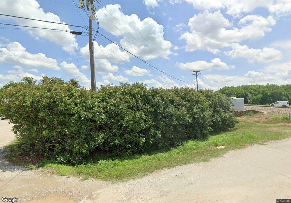
This home is located at 101 N Wilson St, Boyd, TX 76023. 101 N Wilson St is a home located in Wise County with nearby schools including Boyd Elementary School, Boyd Middle School, and Boyd High School.
Ownership History
Date
Name
Owned For
Owner Type
Purchase Details
Closed on
Dec 30, 2022
Sold by
Tackett Thomas J and Tackett Rhonda S
Bought by
Rock Island Rv Park Llc
Purchase Details
Closed on
Mar 1, 2018
Sold by
Tackett Randall Jake
Bought by
Tackett Thomas J and Tackett Rhonda S
Purchase Details
Closed on
Jul 10, 2012
Sold by
Tackett Jefferson Paul
Bought by
Tackett Randall
Purchase Details
Closed on
Sep 4, 2001
Sold by
Tackett Tommy and Tackett Rhonda
Bought by
Tackett Randall
Purchase Details
Closed on
Oct 28, 1993
Bought by
Tackett Randall
Purchase Details
Closed on
Jan 1, 1901
Bought by
Tackett Randall
Create a Home Valuation Report for This Property
The Home Valuation Report is an in-depth analysis detailing your home's value as well as a comparison with similar homes in the area
Home Values in the Area
Average Home Value in this Area
Purchase History
| Date | Buyer | Sale Price | Title Company |
|---|---|---|---|
| Rock Island Rv Park Llc | -- | -- | |
| Tackett Thomas J | -- | None Available | |
| Tackett Randall | -- | -- | |
| Tackett Randall | -- | -- | |
| Tackett Randall | -- | -- | |
| Tackett Randall | -- | -- |
Source: Public Records
Tax History Compared to Growth
Tax History
| Year | Tax Paid | Tax Assessment Tax Assessment Total Assessment is a certain percentage of the fair market value that is determined by local assessors to be the total taxable value of land and additions on the property. | Land | Improvement |
|---|---|---|---|---|
| 2025 | $15,579 | $805,138 | $177,726 | $627,412 |
| 2024 | $15,579 | $819,952 | $177,726 | $642,226 |
| 2023 | $15,212 | $819,952 | $177,726 | $642,226 |
| 2022 | $11,860 | $552,709 | $177,726 | $374,983 |
| 2021 | $11,822 | $531,253 | $177,730 | $353,523 |
| 2020 | $11,346 | $508,040 | $177,730 | $330,310 |
| 2019 | $11,677 | $508,040 | $177,730 | $330,310 |
| 2018 | $3,487 | $149,730 | $118,480 | $31,250 |
| 2017 | $3,287 | $137,230 | $118,480 | $18,750 |
| 2016 | $3,287 | $137,230 | $118,480 | $18,750 |
| 2015 | -- | $135,730 | $118,480 | $17,250 |
| 2014 | -- | $135,730 | $118,480 | $17,250 |
Source: Public Records
Map
Nearby Homes
- 113 N Wilson St
- 525 Highway 114 Rd
- TBD E Rock Island Ave
- 213 S Hitt St
- 110 Gerber Ln
- 205 S Allen St
- 213 S Allen St
- 18 Acres Highway 114 Rd
- 3397 2048 Hwy
- 207 W Morton Ave
- 420 S Evans St
- TBD S Atwood
- 100 N Agnew St
- tbd S Oak St
- 405 Edgewood Terrace
- TBD Abel Ln
- 111 Irish Ivy Ct
- 132 Ivy Terrace
- 162 Greengate Dr
- AMBER Plan at Springhill South
- 112 Po Box
- S FM730 Farm To Market Road 730 N
- 105 S Wilson St Unit C
- 105 S Wilson St Unit A
- 105 S Wilson St Unit D
- 105 S Wilson St
- 109 N Wilson St
- 525 E State Highway 114
- 620 E Rock Island Ave
- 0000 S Atwood St
- 112 N Wilson St
- 529 E Rock Island Ave
- 529 E Rock Island Ave
- 000 S Atwood St
- 421 E Boyd Ave
- 107 S Atwood St
- 421 S Wilson St
- 313 E Rock Island Ave Unit 200
- 313 E Rock Island Ave
- 305 E Rock Island Ave
