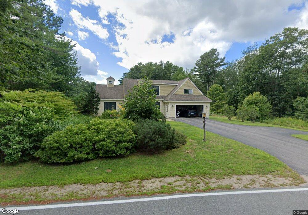
101 Old Port Rd Kennebunk, ME 04043
Estimated Value: $873,000 - $1,054,000
3
Beds
3
Baths
2,161
Sq Ft
$436/Sq Ft
Est. Value
About This Home
This home is located at 101 Old Port Rd, Kennebunk, ME 04043 and is currently estimated at $941,129, approximately $435 per square foot. 101 Old Port Rd is a home located in York County with nearby schools including Kennebunk High School and The New School.
Ownership History
Date
Name
Owned For
Owner Type
Purchase Details
Closed on
Nov 5, 2021
Sold by
Dietz Kathleen E
Bought by
Sorrentino Anthony and Sorrentino Sarah E
Current Estimated Value
Home Financials for this Owner
Home Financials are based on the most recent Mortgage that was taken out on this home.
Original Mortgage
$423,000
Outstanding Balance
$385,354
Interest Rate
2.88%
Mortgage Type
Purchase Money Mortgage
Estimated Equity
$555,775
Purchase Details
Closed on
Aug 5, 2020
Sold by
Dietz Kathleen E
Bought by
Larin Llc
Purchase Details
Closed on
Aug 26, 2011
Sold by
Cooke Allan P Est and Hoxie
Bought by
Dietz Kathleen E
Purchase Details
Closed on
Nov 15, 2006
Sold by
Cooke Allan P
Bought by
Dietz Kathleen E
Create a Home Valuation Report for This Property
The Home Valuation Report is an in-depth analysis detailing your home's value as well as a comparison with similar homes in the area
Home Values in the Area
Average Home Value in this Area
Purchase History
| Date | Buyer | Sale Price | Title Company |
|---|---|---|---|
| Sorrentino Anthony | -- | None Available | |
| Sorrentino Anthony | -- | None Available | |
| Sorrentino Anthony | -- | None Available | |
| Larin Llc | -- | None Available | |
| Larin Llc | -- | None Available | |
| Larin Llc | -- | None Available | |
| Dietz Kathleen E | -- | -- | |
| Dietz Kathleen E | -- | -- | |
| Dietz Kathleen E | -- | -- | |
| Dietz Kathleen E | -- | -- |
Source: Public Records
Mortgage History
| Date | Status | Borrower | Loan Amount |
|---|---|---|---|
| Open | Sorrentino Anthony | $423,000 | |
| Closed | Sorrentino Anthony | $423,000 | |
| Previous Owner | Dietz Kathleen E | $237,000 |
Source: Public Records
Tax History Compared to Growth
Tax History
| Year | Tax Paid | Tax Assessment Tax Assessment Total Assessment is a certain percentage of the fair market value that is determined by local assessors to be the total taxable value of land and additions on the property. | Land | Improvement |
|---|---|---|---|---|
| 2024 | $8,599 | $507,300 | $133,600 | $373,700 |
| 2023 | $8,142 | $507,300 | $133,600 | $373,700 |
| 2022 | $7,407 | $507,300 | $133,600 | $373,700 |
| 2021 | $7,229 | $507,300 | $133,600 | $373,700 |
| 2020 | $7,178 | $507,300 | $133,600 | $373,700 |
| 2019 | $6,975 | $507,300 | $133,600 | $373,700 |
| 2018 | $6,659 | $380,500 | $100,200 | $280,300 |
| 2017 | $6,297 | $380,500 | $100,200 | $280,300 |
| 2016 | $6,050 | $380,500 | $100,200 | $280,300 |
| 2015 | $5,676 | $380,500 | $100,200 | $280,300 |
| 2014 | $5,528 | $380,500 | $100,200 | $280,300 |
Source: Public Records
Map
Nearby Homes
- 28 River Locks Rd
- Lot#39 Bufflehead Cove Ln
- 14 Rachel Dr
- 3 Breakwater Ct Unit 1
- 7 Christensen Ln
- 15 Christensen Ln Unit B1
- 20 Ephraim Tyler Way Unit 20
- 12 Beach Ave
- 12 Wallace St
- 12 Ephraim Tyler Way
- 4 Ephraim Tyler Way
- 9 Arundel Rd
- 8 Tidewater Ct
- 77 North St
- 5 Heath Rd
- 60 Ocean Ave
- 24 School St
- 20 Surf Ln
- 00 Arundel Rd
- 47 Maine St Unit 4
- Lot B Old Port Rd
- 97 Old Port Rd
- 105 Old Port Rd
- 104 Old Port Rd
- 14 Old Port Rd
- 92 Port Rd
- 100 Old Port Rd
- 107 Old Port Rd
- 94 Port Rd
- 95 Old Port Rd
- 00 Riverlocks Rd
- 00 River Locks Rd
- 109 Old Port Rd
- 96 Old Port Rd
- 93 Old Port Rd
- 110 Old Port Rd
- 89 Port Rd
- 6 River Locks Rd
- 87 Port Rd
- 7 River Locks Rd