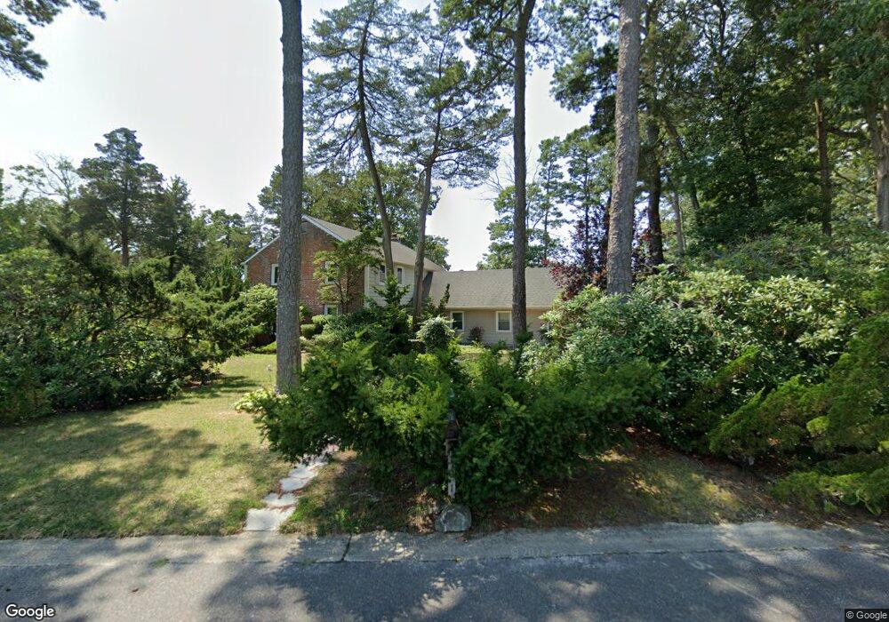
101 Park Cir Absecon, NJ 08201
Estimated Value: $374,994 - $467,000
--
Bed
--
Bath
2,415
Sq Ft
$174/Sq Ft
Est. Value
About This Home
This home is located at 101 Park Cir, Absecon, NJ 08201 and is currently estimated at $419,749, approximately $173 per square foot. 101 Park Cir is a home located in Atlantic County with nearby schools including Emma C. Attales Middle School, Life Point Academy/ Life Point Church, and Holy Spirit High School.
Ownership History
Date
Name
Owned For
Owner Type
Purchase Details
Closed on
Dec 29, 2011
Sold by
Armstrong John R and Armstrong Valerie H
Bought by
Armstrong John R and Armstrong Valerie H
Current Estimated Value
Purchase Details
Closed on
Jan 5, 2000
Sold by
Doody Patrick and Hannon Denise
Bought by
Doody Patrick
Purchase Details
Closed on
Apr 2, 1998
Sold by
Poss Ira M
Bought by
Doody Patrick and Hannon Denise
Home Financials for this Owner
Home Financials are based on the most recent Mortgage that was taken out on this home.
Original Mortgage
$110,000
Outstanding Balance
$20,662
Interest Rate
6.98%
Estimated Equity
$399,087
Create a Home Valuation Report for This Property
The Home Valuation Report is an in-depth analysis detailing your home's value as well as a comparison with similar homes in the area
Home Values in the Area
Average Home Value in this Area
Purchase History
| Date | Buyer | Sale Price | Title Company |
|---|---|---|---|
| Armstrong John R | -- | None Available | |
| Doody Patrick | -- | -- | |
| Doody Patrick | $162,000 | -- |
Source: Public Records
Mortgage History
| Date | Status | Borrower | Loan Amount |
|---|---|---|---|
| Open | Doody Patrick | $110,000 |
Source: Public Records
Tax History Compared to Growth
Tax History
| Year | Tax Paid | Tax Assessment Tax Assessment Total Assessment is a certain percentage of the fair market value that is determined by local assessors to be the total taxable value of land and additions on the property. | Land | Improvement |
|---|---|---|---|---|
| 2025 | $7,227 | $216,000 | $87,800 | $128,200 |
| 2024 | $7,227 | $216,000 | $87,800 | $128,200 |
| 2023 | $7,141 | $216,000 | $87,800 | $128,200 |
| 2022 | $7,141 | $216,000 | $87,800 | $128,200 |
| 2021 | $7,119 | $216,000 | $87,800 | $128,200 |
| 2020 | $7,132 | $216,000 | $87,800 | $128,200 |
| 2019 | $7,080 | $216,000 | $87,800 | $128,200 |
| 2018 | $7,111 | $216,000 | $87,800 | $128,200 |
| 2017 | $7,059 | $216,000 | $87,800 | $128,200 |
| 2016 | $6,860 | $216,000 | $87,800 | $128,200 |
| 2015 | $6,772 | $216,000 | $87,800 | $128,200 |
| 2014 | $7,313 | $236,500 | $87,800 | $148,700 |
Source: Public Records
Map
Nearby Homes
- 111 Woods Rd
- 202 Burning Tree Blvd
- 19 W Illinois Ave
- 40 N Shore Rd
- 15 W Bolton Ave
- 194 N Shore Rd
- 1508 7th Ave
- 107 W Church St
- 120 Pitney Rd
- 1 Mechanic St Unit 108
- 125 Meadowview Ave
- 00 California Ave
- 399 Pitney Rd
- 506 Lazy Ln
- 236 E Wyoming Ave
- 117 E Wyoming Ave
- 244 E Wyoming Ave
- 720 S New Rd Unit 2M
- 243 Pennsylvania Ave
- 0 E Absecon Blvd Unit BILLBOARD 204