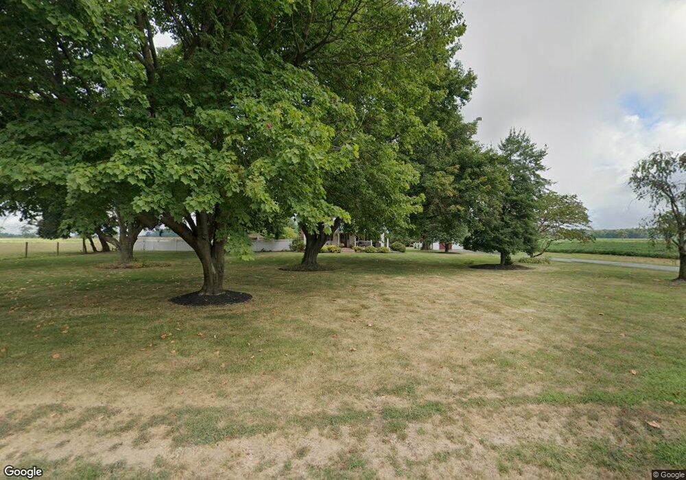
101 Pemberton Rd Southampton, NJ 08088
Estimated Value: $472,000 - $692,000
--
Bed
--
Bath
3,038
Sq Ft
$198/Sq Ft
Est. Value
About This Home
This home is located at 101 Pemberton Rd, Southampton, NJ 08088 and is currently estimated at $601,420, approximately $197 per square foot. 101 Pemberton Rd is a home located in Burlington County.
Ownership History
Date
Name
Owned For
Owner Type
Purchase Details
Closed on
Jun 15, 2017
Sold by
Stevenson Drew W and Stevenson Sharon
Bought by
Stevenson Bradley M and Stevenson Marcy R
Current Estimated Value
Home Financials for this Owner
Home Financials are based on the most recent Mortgage that was taken out on this home.
Original Mortgage
$280,000
Outstanding Balance
$231,501
Interest Rate
3.89%
Mortgage Type
New Conventional
Estimated Equity
$369,919
Create a Home Valuation Report for This Property
The Home Valuation Report is an in-depth analysis detailing your home's value as well as a comparison with similar homes in the area
Home Values in the Area
Average Home Value in this Area
Purchase History
| Date | Buyer | Sale Price | Title Company |
|---|---|---|---|
| Stevenson Bradley M | $350,000 | None Available |
Source: Public Records
Mortgage History
| Date | Status | Borrower | Loan Amount |
|---|---|---|---|
| Open | Stevenson Bradley M | $280,000 |
Source: Public Records
Tax History Compared to Growth
Tax History
| Year | Tax Paid | Tax Assessment Tax Assessment Total Assessment is a certain percentage of the fair market value that is determined by local assessors to be the total taxable value of land and additions on the property. | Land | Improvement |
|---|---|---|---|---|
| 2025 | $10,478 | $317,600 | $93,800 | $223,800 |
| 2024 | $10,090 | $317,600 | $93,800 | $223,800 |
| 2023 | $10,090 | $317,600 | $93,800 | $223,800 |
| 2022 | $9,734 | $317,600 | $93,800 | $223,800 |
| 2021 | $7,194 | $317,600 | $93,800 | $223,800 |
| 2020 | $9,312 | $317,600 | $93,800 | $223,800 |
| 2019 | $9,112 | $317,600 | $93,800 | $223,800 |
| 2018 | $8,899 | $317,600 | $93,800 | $223,800 |
| 2017 | $8,931 | $317,600 | $93,800 | $223,800 |
| 2016 | $8,740 | $317,600 | $93,800 | $223,800 |
| 2015 | $8,464 | $317,600 | $93,800 | $223,800 |
| 2014 | $8,166 | $317,600 | $93,800 | $223,800 |
Source: Public Records
Map
Nearby Homes
- 108 Juliustown Rd
- 20 Carp Ln
- 215 Coville Dr
- 25 Railroad St
- 28 Scammell Dr
- 135 Trenton Rd
- 601 Concord Dr
- 608 Katherine Rd
- 42 Monroe Ave
- 5 Chestnut Ave
- 20 Coville Dr
- 3487 Detroiter St
- 204 Scammell Dr
- 511 Laurel Blvd
- 3399 Liberty St
- 55 Columbus Ave
- 3394 Liberty St
- 30 Earlin Ave
- 156 Morris St
- 30 Press Ave
- 91 Pemberton Browns Mills Rd
- 29 Berkshire St
- 111 Pemberton Browns Mill Rd
- 91 Pemberton Browns Mill Rd
- 21 Berkshire St
- 113 Pemberton Browns Mill Rd
- 13 Berkshire St
- 50 Berkshire St
- 42 Berkshire St
- 83 Pemberton Blvd
- 104 Pemberton Blvd
- 83 Pemberton Browns Mill Rd
- 28 Berkshire St
- 113 Pemberton Browns Mills Rd
- 11 Berkshire St
- 22 Berkshire St
- 41 Fairfield St
- 71 Pemberton Browns Mills Rd
- 33 Fairfield St
- 81 Pembrown Rd
