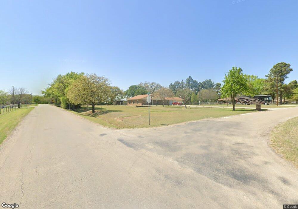
101 Perdue Ln Weatherford, TX 76085
Estimated Value: $342,000 - $393,000
--
Bed
--
Bath
1,522
Sq Ft
$244/Sq Ft
Est. Value
About This Home
This home is located at 101 Perdue Ln, Weatherford, TX 76085 and is currently estimated at $371,960, approximately $244 per square foot. 101 Perdue Ln is a home located in Parker County with nearby schools including Martin Elementary School, Tison Middle School, and Weatherford High School.
Ownership History
Date
Name
Owned For
Owner Type
Purchase Details
Closed on
Apr 28, 2003
Sold by
Tate Harvey A and Tate Anita L
Bought by
Campbell Glenda G
Current Estimated Value
Purchase Details
Closed on
Apr 24, 2003
Sold by
Stevens Randy S and Stevens Carolyn A
Bought by
Campbell Glenda G
Purchase Details
Closed on
Apr 15, 1998
Bought by
Campbell Glenda G
Purchase Details
Closed on
Oct 16, 1997
Bought by
Campbell Glenda G
Purchase Details
Closed on
Oct 15, 1997
Bought by
Campbell Glenda G
Create a Home Valuation Report for This Property
The Home Valuation Report is an in-depth analysis detailing your home's value as well as a comparison with similar homes in the area
Home Values in the Area
Average Home Value in this Area
Purchase History
| Date | Buyer | Sale Price | Title Company |
|---|---|---|---|
| Campbell Glenda G | -- | -- | |
| Campbell Glenda G | -- | -- | |
| Campbell Glenda G | -- | -- | |
| Campbell Glenda G | -- | -- | |
| Campbell Glenda G | -- | -- |
Source: Public Records
Tax History Compared to Growth
Tax History
| Year | Tax Paid | Tax Assessment Tax Assessment Total Assessment is a certain percentage of the fair market value that is determined by local assessors to be the total taxable value of land and additions on the property. | Land | Improvement |
|---|---|---|---|---|
| 2025 | $2,496 | $323,820 | $75,000 | $248,820 |
| 2024 | $2,496 | $354,816 | -- | -- |
| 2023 | $2,496 | $322,560 | $0 | $0 |
| 2022 | $5,460 | $293,240 | $49,990 | $243,250 |
| 2021 | $5,518 | $293,240 | $49,990 | $243,250 |
| 2020 | $5,041 | $250,780 | $30,000 | $220,780 |
| 2019 | $4,889 | $250,780 | $30,000 | $220,780 |
| 2018 | $4,468 | $205,390 | $16,000 | $189,390 |
| 2017 | $4,168 | $205,390 | $16,000 | $189,390 |
| 2016 | $3,789 | $170,700 | $16,000 | $154,700 |
| 2015 | $3,369 | $170,700 | $16,000 | $154,700 |
| 2014 | $3,320 | $166,100 | $16,000 | $150,100 |
Source: Public Records
Map
Nearby Homes
- 109 Perdue Ln
- TBD Lot 7 N Lake Dr
- 748 Rocky Ridge Ln
- 5885-F Upper Denton Rd
- 5885-H Upper Denton Rd
- E 67 Acres TBD Upper Denton Rd
- 5885-G Upper Denton Rd
- 0 R000118724 Unit 20846338
- 1357 Friendship Rd
- 470 Wildwood Trail
- 2065 Preserve Trail
- 505 Aermotor Loop
- 181 Fan Mill Trail
- 197 Fan Mill Trail
- 4895 Upper Denton Rd
- 152 Katy Ranch Dr
- 707 Wells Ln
- 1128 W Lake Dr
- 2431 E Lake Dr
- 2425 E Lake Dr