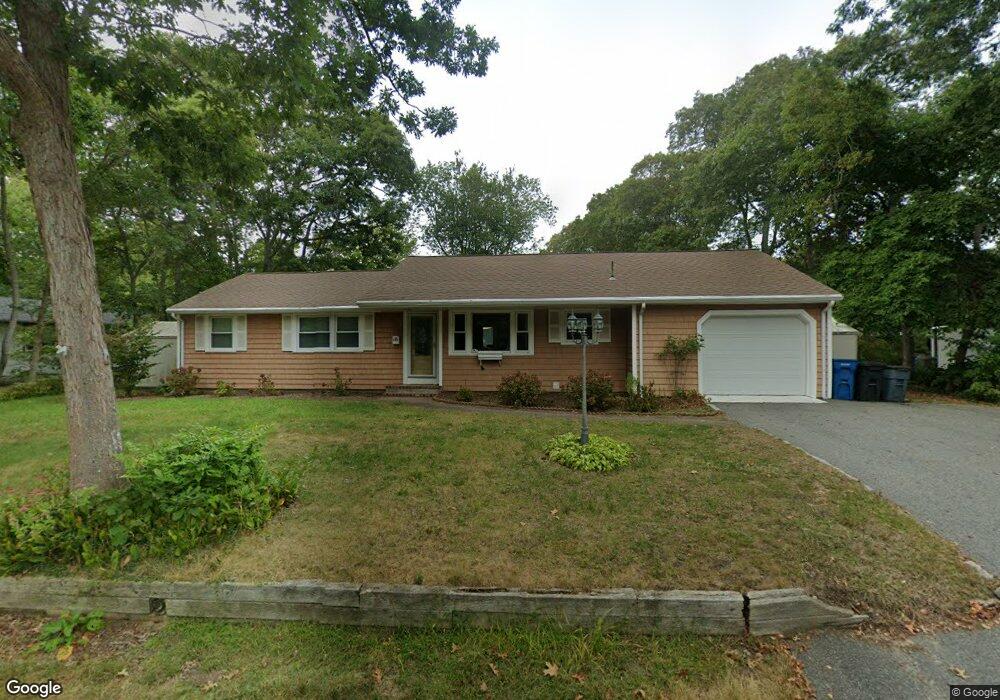
101 Portside Cir Unit 1 East Falmouth, MA 02536
Estimated Value: $778,091 - $910,000
3
Beds
2
Baths
1,238
Sq Ft
$690/Sq Ft
Est. Value
About This Home
This home is located at 101 Portside Cir Unit 1, East Falmouth, MA 02536 and is currently estimated at $854,273, approximately $690 per square foot. 101 Portside Cir Unit 1 is a home located in Barnstable County with nearby schools including Teaticket Elementary School, Morse Pond School, and Lawrence School.
Ownership History
Date
Name
Owned For
Owner Type
Purchase Details
Closed on
Dec 30, 2008
Sold by
Porter Rt and Federico
Bought by
Annamarie Rt and Federico
Current Estimated Value
Purchase Details
Closed on
Aug 16, 1994
Sold by
Caras Stanley A and Caras Sharon J
Bought by
Pheeny Marie R and Cardelli John
Create a Home Valuation Report for This Property
The Home Valuation Report is an in-depth analysis detailing your home's value as well as a comparison with similar homes in the area
Home Values in the Area
Average Home Value in this Area
Purchase History
| Date | Buyer | Sale Price | Title Company |
|---|---|---|---|
| Annamarie Rt | -- | -- | |
| Annamarie Rt | -- | -- | |
| Pheeny Marie R | $129,000 | -- | |
| Pheeny Marie R | $129,000 | -- |
Source: Public Records
Tax History Compared to Growth
Tax History
| Year | Tax Paid | Tax Assessment Tax Assessment Total Assessment is a certain percentage of the fair market value that is determined by local assessors to be the total taxable value of land and additions on the property. | Land | Improvement |
|---|---|---|---|---|
| 2025 | $3,695 | $629,500 | $296,500 | $333,000 |
| 2024 | $3,350 | $533,500 | $258,100 | $275,400 |
| 2023 | $3,066 | $443,100 | $206,500 | $236,600 |
| 2022 | $3,255 | $404,300 | $193,100 | $211,200 |
| 2021 | $3,258 | $383,300 | $193,100 | $190,200 |
| 2020 | $3,141 | $365,700 | $175,500 | $190,200 |
| 2019 | $3,047 | $355,900 | $175,500 | $180,400 |
| 2018 | $3,008 | $345,800 | $175,500 | $170,300 |
| 2017 | $2,895 | $339,400 | $175,500 | $163,900 |
| 2016 | $2,841 | $339,400 | $175,500 | $163,900 |
| 2015 | $2,780 | $339,400 | $175,500 | $163,900 |
| 2014 | $2,763 | $339,000 | $175,600 | $163,400 |
Source: Public Records
Map
Nearby Homes
- 84 Portside Cir
- 26 Sanddollar Cir
- 21 Kilmer Rd
- 15 Beach St
- 58 Striper Ln
- 69 Reynolds St
- Lot 2 Pine Grove Ave
- 37 Seashell Ln
- 52 Cedar St
- LOTA Commodore Ln
- 16 Edgewood Dr
- 27 Harborview Dr
- 231 Great Bay St
- 224 Menauhant Rd
- 473 Davisville Rd
- 110 Teaticket Path
- 214 Menauhant Rd
- 5 Massasoit St
- 7 Montauk St
- 472 & 474 Davisville Rd
- 101 Portside Cir
- 101 Portside Cir Unit Winter
- 101 Portside Cir Unit WEEKLY
- 101 Portside Cir Unit 101
- 107 Portside Cir
- 97 Portside Cir
- 33 Portside Cir
- 39 Portside Cir
- 104 Portside Cir
- 29 Portside Cir
- 98 Portside Cir
- 108 Portside Cir
- 91 Portside Cir
- 43 Portside Cir
- 94 Portside Cir
- 23 Portside Cir
- 36 Portside Cir
- 446 Shorewood Dr
- 442 Shorewood Dr
- 114 Portside Cir