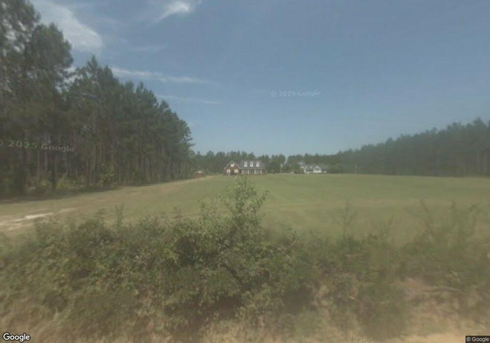
101 Rea Hill Rd Hazlehurst, GA 31539
Estimated Value: $223,000 - $319,000
3
Beds
2
Baths
1,985
Sq Ft
$135/Sq Ft
Est. Value
About This Home
This home is located at 101 Rea Hill Rd, Hazlehurst, GA 31539 and is currently estimated at $268,962, approximately $135 per square foot. 101 Rea Hill Rd is a home located in Jeff Davis County with nearby schools including Jeff Davis Primary School, Jeff Davis Elementary School, and Jeff Davis Middle School.
Ownership History
Date
Name
Owned For
Owner Type
Purchase Details
Closed on
Mar 8, 2000
Bought by
Crosby Charles R
Current Estimated Value
Purchase Details
Closed on
Aug 28, 1989
Bought by
Lance Farms Inc
Purchase Details
Closed on
Feb 19, 1988
Bought by
Three Rivers Timber Land
Purchase Details
Closed on
Jan 1, 1987
Bought by
Moody Laura Maye Etal
Create a Home Valuation Report for This Property
The Home Valuation Report is an in-depth analysis detailing your home's value as well as a comparison with similar homes in the area
Home Values in the Area
Average Home Value in this Area
Purchase History
| Date | Buyer | Sale Price | Title Company |
|---|---|---|---|
| Crosby Charles R | -- | -- | |
| Lance Farms Inc | $35,000 | -- | |
| Three Rivers Timber Land | $52,500 | -- | |
| Moody Laura Maye Etal | -- | -- |
Source: Public Records
Tax History Compared to Growth
Tax History
| Year | Tax Paid | Tax Assessment Tax Assessment Total Assessment is a certain percentage of the fair market value that is determined by local assessors to be the total taxable value of land and additions on the property. | Land | Improvement |
|---|---|---|---|---|
| 2024 | $2,548 | $88,720 | $3,480 | $85,240 |
| 2023 | $1,643 | $57,914 | $2,495 | $55,419 |
| 2022 | $1,643 | $57,914 | $2,495 | $55,419 |
| 2021 | $1,643 | $57,914 | $2,495 | $55,419 |
| 2020 | $1,643 | $57,914 | $2,495 | $55,419 |
| 2019 | $1,643 | $57,914 | $2,495 | $55,419 |
| 2018 | $1,643 | $57,914 | $2,495 | $55,419 |
| 2017 | $1,517 | $54,511 | $2,495 | $52,016 |
| 2016 | $1,490 | $54,511 | $2,495 | $52,016 |
| 2015 | -- | $54,511 | $2,495 | $52,016 |
| 2014 | -- | $57,018 | $2,495 | $54,523 |
Source: Public Records
Map
Nearby Homes
- 347 Georgia 107
- LOTS 5 & 6 N A
- 0 No Assigned Address Unit 10505338
- 663 Rhonda Coleman Rd
- 00 Lots 5 & 6
- 559 Mccall Rd
- 41 W Georgia Ave
- LT 16 Loop Rd
- Lot 16 Loop Rd Unit Other
- 279 W H Smith Rd
- 00 N A Unit N/A
- 00 N A
- 120 Elizabeth Church Rd
- 34 Bradford Ln
- 37 Dogwood Rd
- 11 Holy Hill Rd
- 77 Jimmy Boatright Dr
- 393 Douglas Hwy
- 102 W Palm Rd
- 16 Beech Rd
- 103 Rea Hill Rd
- 102 Rea Hill Rd
- 82 Rea Hill Rd
- 70 Seebeck Rd
- 135 Bennie Byrd Rd
- 63 Eastwood Dr
- 1876 Broxton Hwy
- 176 Seebeck Rd
- 110 Seebeck Rd
- 21 Rea Hill Rd
- 1874 Broxton Hwy
- 58 Cedar Brook Rd
- 00 Seebeck Rd
- 3 Eastwood Dr
- 45 Seebeck Rd
- 65 Seebeck Rd
- 1872 Broxton Hwy
- 0 Sunflower Rd
- 1868 Broxton Hwy
- 1854 Broxton Hwy