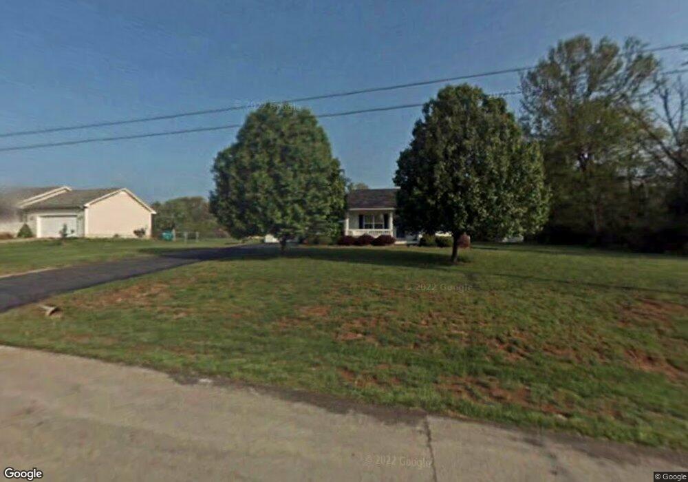
101 Rembrandt Ct Bowling Green, KY 42101
Greystone NeighborhoodEstimated Value: $212,000 - $260,000
3
Beds
2
Baths
1,244
Sq Ft
$190/Sq Ft
Est. Value
About This Home
This home is located at 101 Rembrandt Ct, Bowling Green, KY 42101 and is currently estimated at $236,815, approximately $190 per square foot. 101 Rembrandt Ct is a home located in Warren County with nearby schools including Rockfield Elementary School, Henry F. Moss Middle School, and Warren Central High School.
Ownership History
Date
Name
Owned For
Owner Type
Purchase Details
Closed on
Apr 25, 2024
Sold by
Ford Paul and Ford Maia
Bought by
Ford Maia
Current Estimated Value
Home Financials for this Owner
Home Financials are based on the most recent Mortgage that was taken out on this home.
Original Mortgage
$127,187
Outstanding Balance
$124,852
Interest Rate
7.25%
Mortgage Type
FHA
Estimated Equity
$111,963
Create a Home Valuation Report for This Property
The Home Valuation Report is an in-depth analysis detailing your home's value as well as a comparison with similar homes in the area
Home Values in the Area
Average Home Value in this Area
Purchase History
| Date | Buyer | Sale Price | Title Company |
|---|---|---|---|
| Ford Maia | $30,000 | Copper Title | |
| Ford Maia | $30,000 | Copper Title | |
| Ford Maia | $30,000 | Copper Title |
Source: Public Records
Mortgage History
| Date | Status | Borrower | Loan Amount |
|---|---|---|---|
| Open | Ford Maia | $127,187 | |
| Closed | Ford Maia | $127,187 |
Source: Public Records
Tax History Compared to Growth
Tax History
| Year | Tax Paid | Tax Assessment Tax Assessment Total Assessment is a certain percentage of the fair market value that is determined by local assessors to be the total taxable value of land and additions on the property. | Land | Improvement |
|---|---|---|---|---|
| 2024 | $1,333 | $143,750 | $0 | $0 |
| 2023 | $1,087 | $114,100 | $0 | $0 |
| 2022 | $1,022 | $114,100 | $0 | $0 |
| 2021 | $1,255 | $143,750 | $0 | $0 |
| 2020 | $1,029 | $115,000 | $0 | $0 |
| 2019 | $1,028 | $115,000 | $0 | $0 |
| 2018 | $1,023 | $115,000 | $0 | $0 |
| 2017 | $1,016 | $115,000 | $0 | $0 |
| 2015 | $982 | $112,900 | $0 | $0 |
| 2014 | $968 | $112,900 | $0 | $0 |
Source: Public Records
Map
Nearby Homes
- 568 Merit Ct
- 587 Noble Ct
- 593 Noble Ct
- 615 Standard Ave
- 609 Standard Ave
- The Collins Plan at The Standard at Blue Level
- The Rockaway Plan at The Standard at Blue Level
- The Victoria Plan at The Standard at Blue Level
- The Atkins Plan at The Standard at Blue Level
- The Stanford 2 Plan at The Standard at Blue Level
- 579 Standard Ave
- 614 Merit St
- 623 Merit St
- 567 Standard Ave
- 561 Standard Ave
- 484 Superior Ct
- 219 Ford Ave
- 237 Ford Ave
- 514 Sweeney Ln
- 302 Hillview Mills
- 111 Rembrandt Ct
- 100 Rembrandt Ct
- 718 Old Tram Rd
- 716 Old Tram Rd
- 121 Rembrandt Ct
- 110 Rembrandt Ct
- 714 Old Tram Rd
- 131 Rembrandt Ct
- 120 Rembrandt Ct
- 814 Old Tram Rd
- 829 Old Tram Rd
- 140 Rembrandt Ct
- 712 Old Tram Rd
- 130 Rembrandt Ct
- 160 Powell St
- 870 Old Tram Rd
- 867 Old Tram Rd
- 676 Old Tram Rd
- 648 Old Tram Rd
- 101 Belgium Ct