101 Ridge Rd Jonestown, PA 17038
Estimated Value: $627,000 - $1,489,098
--
Bed
--
Bath
4,189
Sq Ft
$248/Sq Ft
Est. Value
About This Home
This home is located at 101 Ridge Rd, Jonestown, PA 17038 and is currently estimated at $1,039,699, approximately $248 per square foot. 101 Ridge Rd is a home with nearby schools including Northern Lebanon Senior High School.
Ownership History
Date
Name
Owned For
Owner Type
Purchase Details
Closed on
Jul 17, 2024
Sold by
Briggs Troy F and Briggs Julienne F
Bought by
Briggs Family Trust and Briggs
Current Estimated Value
Purchase Details
Closed on
Jan 17, 2017
Sold by
Fields Cynthia A and Walsh Stephanie F
Bought by
Briggs Troy F and Briggs Julienne F
Home Financials for this Owner
Home Financials are based on the most recent Mortgage that was taken out on this home.
Original Mortgage
$133,920
Interest Rate
4.3%
Mortgage Type
Stand Alone Second
Purchase Details
Closed on
Jul 10, 2010
Sold by
Fields Cynthia A and Walsh Stephanie F
Bought by
Fields Cynthia A and Walsh Stephanie F
Create a Home Valuation Report for This Property
The Home Valuation Report is an in-depth analysis detailing your home's value as well as a comparison with similar homes in the area
Home Values in the Area
Average Home Value in this Area
Purchase History
| Date | Buyer | Sale Price | Title Company |
|---|---|---|---|
| Briggs Family Trust | -- | None Listed On Document | |
| Briggs Troy F | $167,400 | None Available | |
| Fields Cynthia A | -- | None Available |
Source: Public Records
Mortgage History
| Date | Status | Borrower | Loan Amount |
|---|---|---|---|
| Previous Owner | Briggs Troy F | $133,920 |
Source: Public Records
Tax History Compared to Growth
Tax History
| Year | Tax Paid | Tax Assessment Tax Assessment Total Assessment is a certain percentage of the fair market value that is determined by local assessors to be the total taxable value of land and additions on the property. | Land | Improvement |
|---|---|---|---|---|
| 2025 | $14,897 | $678,100 | $59,800 | $618,300 |
| 2024 | $14,819 | $763,300 | $145,000 | $618,300 |
| 2023 | $14,819 | $763,300 | $145,000 | $618,300 |
| 2022 | $14,338 | $763,300 | $145,000 | $618,300 |
| 2021 | $13,470 | $763,300 | $145,000 | $618,300 |
| 2020 | $13,207 | $763,300 | $145,000 | $618,300 |
| 2019 | $2,291 | $134,500 | $134,500 | $0 |
| 2018 | $2,238 | $134,500 | $134,500 | $0 |
| 2017 | $474 | $134,500 | $134,500 | $0 |
| 2016 | $2,171 | $134,500 | $134,500 | $0 |
| 2015 | -- | $134,500 | $134,500 | $0 |
| 2014 | -- | $134,500 | $134,500 | $0 |
Source: Public Records
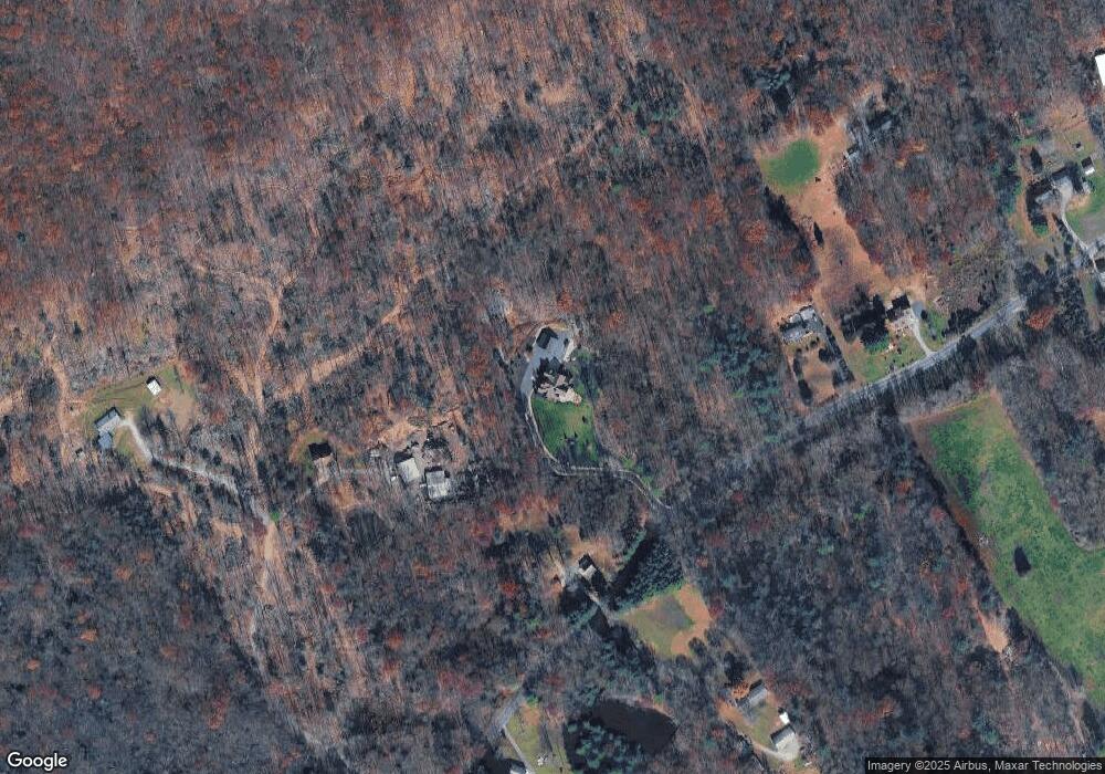
Map
Nearby Homes
- 107 Moonshine Rd
- 0 Fisher Ave
- 3204 State Route 72
- 11 Wolfe Dr
- 230 Monroe Valley Dr
- 0 Darkes Rd Unit PALN2019172
- 60 Bordnersville Rd
- 2963 Pennsylvania 72
- 1120 Suedberg Rd
- 29 Park Dr
- 2005 Yordys Bridge Rd
- 9701 United States Route 209
- Lot #49 Ss Shepherd St
- 507 Shepherd St
- 19 Racehorse Dr
- 599 E Market St
- 453 E Market St
- 457 E Market St
- 128 E Market St
- 111 E Market St