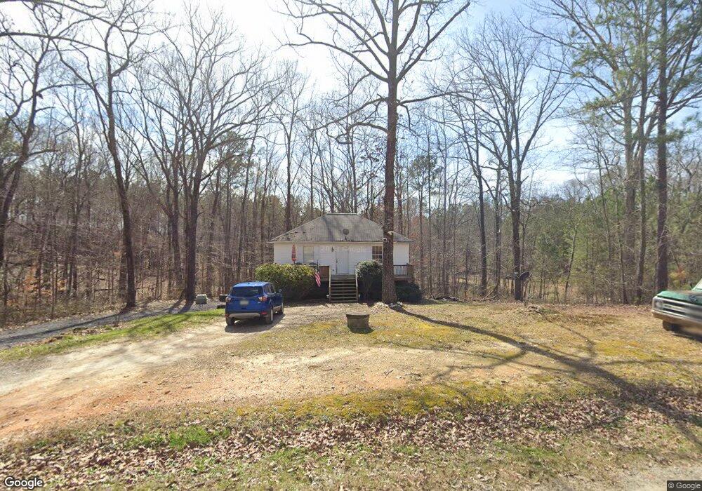
101 Roberts Rd Whitesburg, GA 30185
Estimated Value: $180,000 - $215,000
2
Beds
1
Bath
768
Sq Ft
$255/Sq Ft
Est. Value
About This Home
This home is located at 101 Roberts Rd, Whitesburg, GA 30185 and is currently estimated at $195,599, approximately $254 per square foot. 101 Roberts Rd is a home located in Carroll County with nearby schools including Whitesburg Elementary School, Central Middle School, and Central High School.
Ownership History
Date
Name
Owned For
Owner Type
Purchase Details
Closed on
Dec 27, 2007
Sold by
Frederick Jennifer T
Bought by
Jenkins Chris Wade and Jenkins Catherine Elaine
Current Estimated Value
Home Financials for this Owner
Home Financials are based on the most recent Mortgage that was taken out on this home.
Original Mortgage
$69,972
Outstanding Balance
$43,310
Interest Rate
6.05%
Mortgage Type
New Conventional
Estimated Equity
$152,289
Purchase Details
Closed on
Jan 19, 2001
Sold by
Hembree Angelo S
Bought by
Frederick Jennifer T
Purchase Details
Closed on
Jan 10, 2001
Sold by
Hembree Dan L and Hembree Trin
Bought by
Hembree Angelo S
Purchase Details
Closed on
Oct 19, 2000
Sold by
Hembree Angelo S
Bought by
Hembree Dan L and Hembree Trin
Purchase Details
Closed on
Aug 31, 1999
Sold by
Hembree Angelo S
Bought by
Hembree Angelo S
Create a Home Valuation Report for This Property
The Home Valuation Report is an in-depth analysis detailing your home's value as well as a comparison with similar homes in the area
Home Values in the Area
Average Home Value in this Area
Purchase History
| Date | Buyer | Sale Price | Title Company |
|---|---|---|---|
| Jenkins Chris Wade | $82,320 | -- | |
| Frederick Jennifer T | $64,200 | -- | |
| Hembree Angelo S | -- | -- | |
| Hembree Angelo S | -- | -- | |
| Hembree Dan L | -- | -- | |
| Hembree Angelo S | -- | -- |
Source: Public Records
Mortgage History
| Date | Status | Borrower | Loan Amount |
|---|---|---|---|
| Open | Jenkins Chris Wade | $69,972 |
Source: Public Records
Tax History Compared to Growth
Tax History
| Year | Tax Paid | Tax Assessment Tax Assessment Total Assessment is a certain percentage of the fair market value that is determined by local assessors to be the total taxable value of land and additions on the property. | Land | Improvement |
|---|---|---|---|---|
| 2025 | $1,127 | $50,393 | $11,719 | $38,674 |
| 2024 | $1,140 | $50,393 | $11,719 | $38,674 |
| 2023 | $1,140 | $44,912 | $9,376 | $35,536 |
| 2022 | $872 | $34,773 | $6,250 | $28,523 |
| 2021 | $756 | $29,497 | $5,000 | $24,497 |
| 2020 | $685 | $26,674 | $4,546 | $22,128 |
| 2019 | $640 | $24,734 | $4,546 | $20,188 |
| 2018 | $571 | $21,760 | $4,248 | $17,512 |
| 2017 | $573 | $21,760 | $4,248 | $17,512 |
| 2016 | $573 | $21,760 | $4,248 | $17,512 |
| 2015 | $696 | $24,891 | $4,983 | $19,908 |
| 2014 | $699 | $24,891 | $4,983 | $19,908 |
Source: Public Records
Map
Nearby Homes
- 10 Wigwam Cir
- 46 Helen Ct
- 89 Copeland Rd
- 0 Hamilton Rd Unit LOT 1 10554357
- 0 Hamilton Rd Unit 10480307
- 0 Hamilton Rd Unit 10480360
- 2116 Jones Mill Rd
- 659 Hood Rd
- 109 Landon Dr
- 2184 Jones Mill Rd
- 8050 Campbellton Redwine Rd
- 42 Church Ln
- 8322 Loch Lomand Ln
- 8342 Loch Lomand Ln
- 8345 Loch Lomand Ln
- 8351 Dublin Dr
- 8325 Loch Lomand Ln
- 8910 Callaway Dr
- 8981 Callaway Dr
- 8870 Callaway Dr
- 104 Roberts Rd
- 63 Roberts Rd
- 2303 Black Dirt Rd
- 86 Roberts Rd
- 2285 Black Dirt Rd
- 2311 Black Dirt Rd
- 15 Roberts Rd
- 1962 E Highway 5
- 1938 Georgia 5
- 1962 Georgia 5
- 1952 E Highway 5
- 1938 E Highway 5
- 3955 Hutcheson Ferry Rd
- 4016 Hutcheson Ferry Rd
- 1895 E Highway 5
- 2137 E Highway 5
- 3952 Hutcheson Ferry Rd
- 3948 Hutcheson Ferry Rd
- 1916 E Highway 5
- 1930 E Highway 5